
Satellite: Sentinel-2 cloudless 2016 by EOX IT Services GmbH · CC BY 4.0 · Contains modified Copernicus Sentinel data 2016

Photo: Adri08 · CC BY-SA 3.0 · Wikimedia Commons
Chapelle de WalcourtReport this photo · linked, not stored
Chapelle de WalcourtChapelle de WalcourtReport this photo · linked, not stored

Photo: Adri08 · CC BY-SA 3.0 · Wikimedia Commons
Couvent des Récollectines de GivetReport this photo · linked, not stored
Couvent des Récollectines de GivetCouvent des Récollectines de GivetReport this photo · linked, not stored

Photo: Adri08 · CC BY-SA 3.0 · Wikimedia Commons
Couvent des Récollets de GivetReport this photo · linked, not stored
Couvent des Récollets de GivetCouvent des Récollets de GivetReport this photo · linked, not stored

Photo: NEUVENS Francis · CC BY-SA 3.0 · Wikimedia Commons
Manège militaire de GivetReport this photo · linked, not stored
Manège militaire de GivetManège militaire de GivetReport this photo · linked, not stored
factoryGivet, Grand Est
Cellatex
listed in the general inventory of cultural heritage
Typefactory
Built–
Best monthsJul–Sepweather in Givet
50.15° N, 4.82° EUTC+1 · Central European Standard Time
When to goGivet · weather score
Best timeJul–Sep
October: high / low15° / 7°
iAbout
Cellatex in brief
Cellatex is a factory in Givet, Grand Est, France. Former French textile company.
It holds the designation listed in the general inventory of cultural heritage.
For a visit, the weather in Givet is best in July, August and September; in October afternoons average 15°.
iiLocation
Where to find it
iiiWhen to visit
Climate guideWeather in Givet
Month score for sightseeing
Best Jul–Sep16
Jan
20
Feb
28
Mar
59
Apr
63
May
64
Jun
65
Jul
65
Aug
71
Sep
46
Oct
16
Nov
15
Dec
ivNearby
All monuments in FranceMore heritage close by
Couvent des Récollectines de Givet
1.7 km S
monument historique inscrit

Église Saint-Hilaire de Givet
1.9 km S
listed in the general inventory of cultural heritage

Église Notre-Dame de Givet
1.9 km S
listed in the general inventory of cultural heritage
Around here
Givet and around

Nature

Photo: Boerkevitz at Dutch Wikipedia · CC BY-SA 3.0 · Wikimedia CommonsReport this photo · linked, not stored
Viroin
River · 141 m
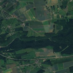
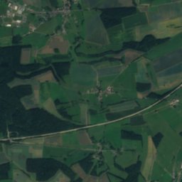
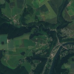
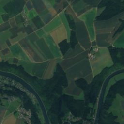
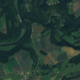
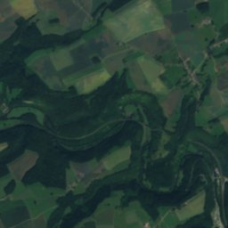
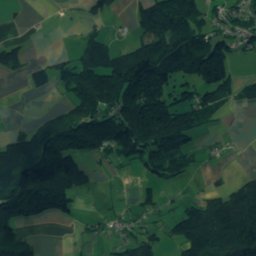
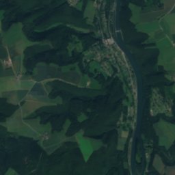
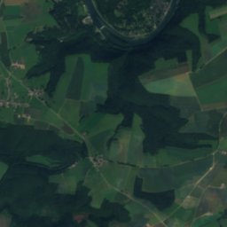
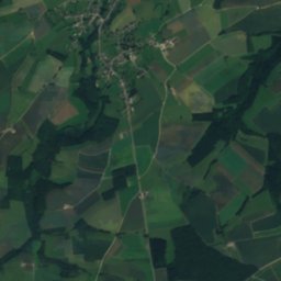
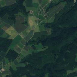
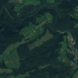
Satellite: Sentinel-2 cloudless 2016 by EOX IT Services GmbH · CC BY 4.0 · Contains modified Copernicus Sentinel data 2016
Naulette
Cave

Mountains
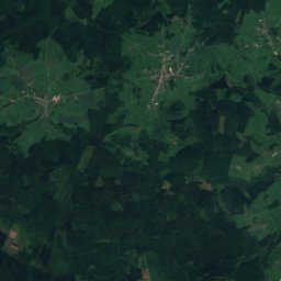
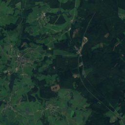
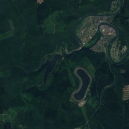
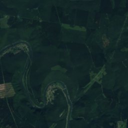
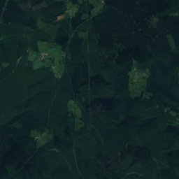
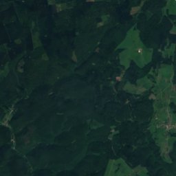
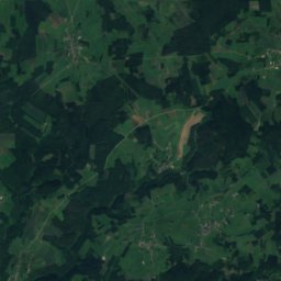
Satellite: Sentinel-2 cloudless 2016 by EOX IT Services GmbH · CC BY 4.0 · Contains modified Copernicus Sentinel data 2016
Bois des Haies
505 m · Ardennes massif
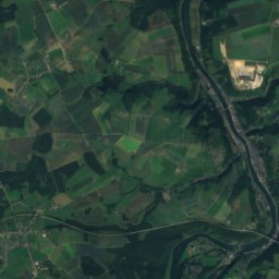
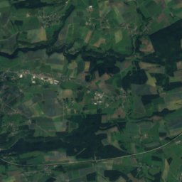
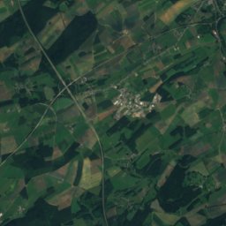
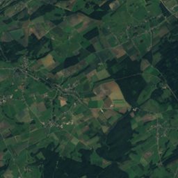
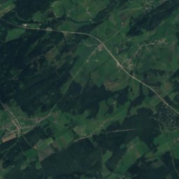
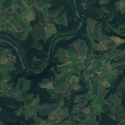
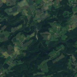
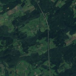
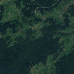
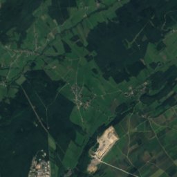
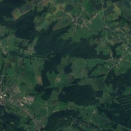
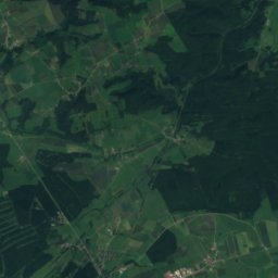
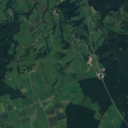
Satellite: Sentinel-2 cloudless 2016 by EOX IT Services GmbH · CC BY 4.0 · Contains modified Copernicus Sentinel data 2016
La Belle Vue
195 m
Heritage
Église Saint-Hilaire de Givet
listed in the general inventory of cultural heritage · 1682
Église Notre-Dame de Givet
listed in the general inventory of cultural heritage · 1300
Museums

Satellite: Sentinel-2 cloudless 2016 by EOX IT Services GmbH · CC BY 4.0 · Contains modified Copernicus Sentinel data 2016
Ecomjuseum of the Virion


Satellite: Sentinel-2 cloudless 2016 by EOX IT Services GmbH · CC BY 4.0 · Contains modified Copernicus Sentinel data 2016