
Photo: Jpbazard Jean-Pierre Bazard · CC BY-SA 3.0 · Wikimedia Commons
Cap Béar LighthouseReport this photo · linked, not stored
Cap Béar LighthouseReport this photo · linked, not stored
 Cap Béar

Photo: Jpbazard Jean-Pierre Bazard · CC BY-SA 3.0 · Wikimedia Commons
Fort de MaillyReport this photo · linked, not stored
Fort de MaillyFort de MaillyReport this photo · linked, not stored

Photo: Fabricio Cardenas · CC BY-SA 3.0 · Wikimedia Commons
Feu métallique du môleReport this photo · linked, not stored
Feu métallique du môleFeu métallique du môleReport this photo · linked, not stored

Photo: Jpbazard Jean-Pierre Bazard · CC BY-SA 3.0 · Wikimedia Commons
Fort del FanalReport this photo · linked, not stored
Fort del FanalFort del FanalReport this photo · linked, not stored
lighthousePaulilles, Occitanie
Cap Béar Lighthouse
classified historical monumentBuilt 1905
Typelighthouse
Built1905
Best monthsApr · Jun · Sepweather in Paulilles
42.52° N, 3.14° EUTC+1 · Central European Standard Time
Standing for121 years
built 1905today 2026
When to goPaulilles · weather score
Best timeApr · Jun · Sep
October: high / low21° / 14°
iAbout
Cap Béar Lighthouse in brief
Cap Béar Lighthouse is a lighthouse in Paulilles, Occitanie, France.
It holds the designation classified historical monument.
The lighthouse dates from 1905.
For a visit, the weather in Paulilles is best in April, June and September; in October afternoons average 21°.
iiLocation
Where to find it
iiiWhen to visit
Climate guideWeather in Paulilles
Month score for sightseeing
Best Apr · Jun · Sep52
Jan
60
Feb
69
Mar
79
Apr
79
May
82
Jun
74
Jul
71
Aug
84
Sep
79
Oct
69
Nov
57
Dec
ivNearby
All monuments in FranceMore heritage close by
Photo: Jpbazard Jean-Pierre Bazard · CC BY-SA 3.0 · Wikimedia CommonsReport this photo · linked, not stored
Fort de Mailly
1.6 km W
monument historique inscrit





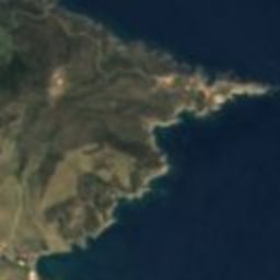

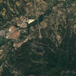
Satellite: Sentinel-2 cloudless 2016 by EOX IT Services GmbH · CC BY 4.0 · Contains modified Copernicus Sentinel data 2016
Redoute Béar
1.8 km W
monument historique inscrit
Photo: Jpbazard Jean-Pierre Bazard · CC BY-SA 3.0 · Wikimedia CommonsReport this photo · linked, not stored
Fort del Fanal
2.0 km W
monument historique inscrit
Satellite: Sentinel-2 cloudless 2016 by EOX IT Services GmbH · CC BY 4.0 · Contains modified Copernicus Sentinel data 2016
Fort de la Moresca
2.4 km NW
monument historique inscrit
Around here
Paulilles and around

Nature
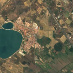
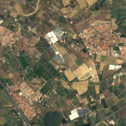
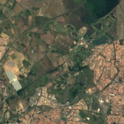
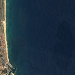

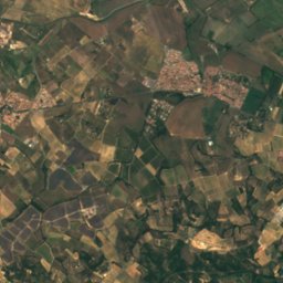
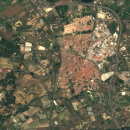
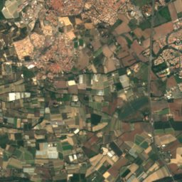
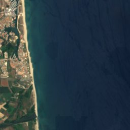

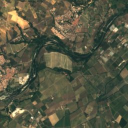
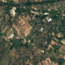
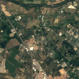
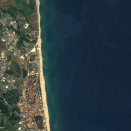

Satellite: Sentinel-2 cloudless 2016 by EOX IT Services GmbH · CC BY 4.0 · Contains modified Copernicus Sentinel data 2016
Tech
River


Mountains
Satellite: Sentinel-2 cloudless 2016 by EOX IT Services GmbH · CC BY 4.0 · Contains modified Copernicus Sentinel data 2016
Puig d'en Clos
1,995 m

Photo: Bertrand GRONDIN → (Talk) · CC BY-SA 3.0 · Wikimedia CommonsReport this photo · linked, not stored
Roc del Comptador
1,451 m · Pyrenees
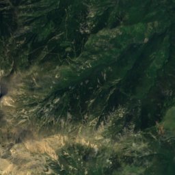
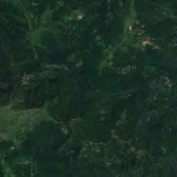
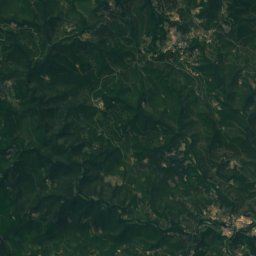
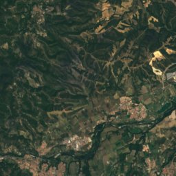
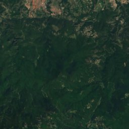
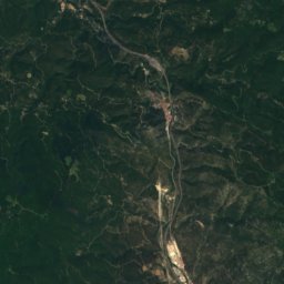
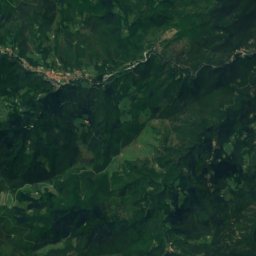
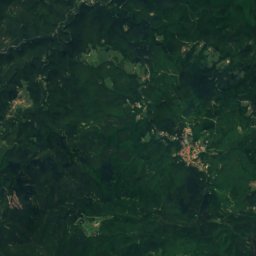
Satellite: Sentinel-2 cloudless 2016 by EOX IT Services GmbH · CC BY 4.0 · Contains modified Copernicus Sentinel data 2016
Roc de l'Escofet
1,446 m
Heritage


Museums







Satellite: Sentinel-2 cloudless 2016 by EOX IT Services GmbH · CC BY 4.0 · Contains modified Copernicus Sentinel data 2016