
Photo: Aimelaime · CC BY-SA 3.0 · Wikimedia Commons
Bastion Saint-AndréReport this photo · linked, not stored
Bastion Saint-AndréReport this photo · linked, not stored

Photo: Aimelaime at French Wikipedia · Public domain · Wikimedia Commons
Enceinte gréco-romaine d'AntibesReport this photo · linked, not stored
Enceinte gréco-romaine d'AntibesEnceinte gréco-romaine d'AntibesReport this photo · linked, not stored

Photo: Olivier2000 · CC BY-SA 1.0 · Wikimedia Commons
Antibes CathedralReport this photo · linked, not stored
Antibes CathedralAntibes CathedralReport this photo · linked, not stored

Photo: Patrick Rouzet · CC BY-SA 3.0 · Wikimedia Commons
Tour GrimaldiReport this photo · linked, not stored
Tour GrimaldiTour GrimaldiReport this photo · linked, not stored

Photo: Abxbay · CC BY-SA 4.0 · Wikimedia Commons
Chapelle Saint-Esprit d'AntibesReport this photo · linked, not stored
Chapelle Saint-Esprit d'AntibesChapelle Saint-Esprit d'AntibesReport this photo · linked, not stored
bastionAntibes, Provence-Alpes-Côte d'Azur
Bastion Saint-André
monument historique inscrit
Typebastion
Built–
Best monthsJun · Sep–Octweather in Antibes
43.58° N, 7.13° EUTC+2 · Central European Summer Time
When to goAntibes · weather score
Best timeJun · Sep–Oct
October: high / low21° / 14°
iAbout
Bastion Saint-André in brief
Bastion Saint-André is a bastion in Antibes, Provence-Alpes-Côte d'Azur, France.
It holds the designation monument historique inscrit.
For a visit, the weather in Antibes is best in June, September and October; in October afternoons average 21°.
Facts
- Type
- bastion
- Designation
- monument historique inscrit
- Nearest town
- Antibes
- Region
- Provence-Alpes-Côte d'Azur
- Coordinates
- 43.57730, 7.12609
iiLocation
Where to find it
ivNearby
All monuments in FranceMore heritage close by
Photo: Aimelaime at French Wikipedia · Public domain · Wikimedia CommonsReport this photo · linked, not stored
Enceinte gréco-romaine d'Antibes
0.3 km N
monument historique inscrit
Chapelle Saint-Esprit d'Antibes
0.5 km NE
classified historical monument

Photo: Aimelaime at French Wikipedia · Public domain · Wikimedia CommonsReport this photo · linked, not stored
Chapelle Saint-Bernardin d'Antibes
0.5 km N
monument historique inscrit


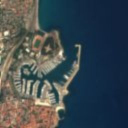

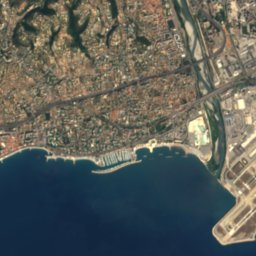
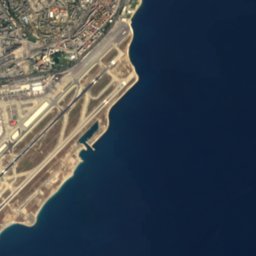
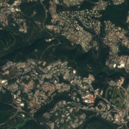
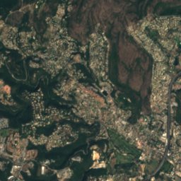
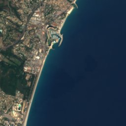
Satellite: Sentinel-2 cloudless 2016 by EOX IT Services GmbH · CC BY 4.0 · Contains modified Copernicus Sentinel data 2016
Fort Carré
1.4 km N
classified historical monument
Around here
Antibes and around

Nature

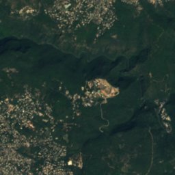
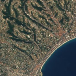
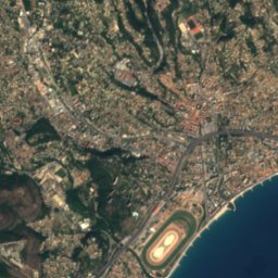



Mountains

Satellite: Sentinel-2 cloudless 2016 by EOX IT Services GmbH · CC BY 4.0 · Contains modified Copernicus Sentinel data 2016
Cime des Collettes
1,477 m
Heritage

Jardin botanique de la Villa Thuret
Maisons des Illustres · 2012
Photo: Aimelaime at French Wikipedia · Public domain · Wikimedia CommonsReport this photo · linked, not stored
Chapelle Saint-Bernardin d'Antibes
monument historique inscrit
Museums

Photo: Original uploader was Olivier2000 at fr.wikipedia · CC BY-SA 1.0 · Wikimedia CommonsReport this photo · linked, not stored
Picasso Museum
Art museum · 1966


