
Photo: Anna Katriina Puikko · CC BY-SA 4.0 · Wikimedia Commons
SöderfjärdenReport this photo · linked, not stored
SöderfjärdenReport this photo · linked, not stored

Photo: Hansbjorknas · CC BY-SA 4.0 · Wikimedia Commons
Solf ChurchReport this photo · linked, not stored
Solf ChurchSolf ChurchReport this photo · linked, not stored
impact craterSolf, Ostrobothnia
Söderfjärden
Cultural Heritage Site of National Significance
Typeimpact crater
Built–
Best monthsJun–Augweather in Solf
63.01° N, 21.57° EUTC+3 · Eastern European Summer Time
When to goSolf · weather score
Best timeJun–Aug
October: high / low8° / 2°
iAbout
Söderfjärden in brief
Söderfjärden is an impact crater in Solf, Ostrobothnia, Finland.
It holds the designation Cultural Heritage Site of National Significance.
For a visit, the weather in Solf is best in June, July and August; in October afternoons average 8°.
Facts
- Type
- impact crater
- Designation
- Cultural Heritage Site of National Significance
- Nearest town
- Solf
- Region
- Ostrobothnia
- Coordinates
- 63.00500, 21.57500
iiLocation
Where to find it
iiiWhen to visit
Climate guideWeather in Solf
Month score for sightseeing
Best Jun–Aug19
Jan
25
Feb
29
Mar
32
Apr
54
May
76
Jun
69
Jul
64
Aug
49
Sep
18
Oct
15
Nov
15
Dec
ivNearby
All monuments in FinlandMore heritage close by
Around here
Solf and around

Nature


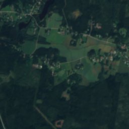
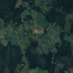
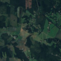
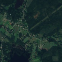
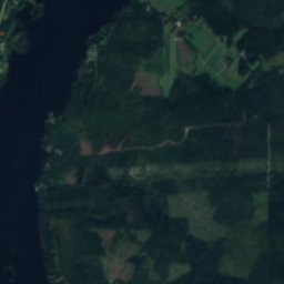
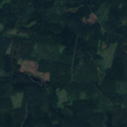
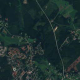
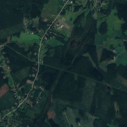
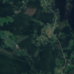
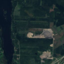
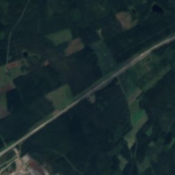
Satellite: Sentinel-2 cloudless 2016 by EOX IT Services GmbH · CC BY 4.0 · Contains modified Copernicus Sentinel data 2016
Karperöfjärden
Lake · 1 m
Heritage


Museums






Satellite: Sentinel-2 cloudless 2016 by EOX IT Services GmbH · CC BY 4.0 · Contains modified Copernicus Sentinel data 2016
Ostrobothnian Museum
Art museum · 1896