
 Strömma Canal
brukTeijo, Southwest Finland
Mathildedal
Cultural Heritage Site of National Significanceregistered archaeological site in FinlandBuilt 1852
Typebruk
Built1852
Best monthsMay–Jun · Augweather in Teijo
60.22° N, 22.90° EUTC+2 · Eastern European Standard Time
Standing for174 years
built 1852today 2026
When to goTeijo · weather score
Best timeMay–Jun · Aug
October: high / low9° / 3°
iAbout
Mathildedal in brief
Mathildedal is a bruk in Teijo, Southwest Finland, Finland.
It holds the designations Cultural Heritage Site of National Significance and registered archaeological site in Finland.
The bruk dates from 1852.
For a visit, the weather in Teijo is best in May, June and August; in October afternoons average 9°.
Facts
- Type
- bruk
- Designation
- Cultural Heritage Site of National Significance
- registered archaeological site in Finland
- Built
- 1852
- Nearest town
- Teijo
- Region
- Southwest Finland
- Coordinates
- 60.21965, 22.90444
iiLocation
Where to find it
iiiWhen to visit
Climate guideWeather in Teijo
Month score for sightseeing
Best May–Jun · Aug13
Jan
20
Feb
28
Mar
29
Apr
66
May
73
Jun
66
Jul
67
Aug
62
Sep
18
Oct
13
Nov
13
Dec
ivNearby
All monuments in FinlandMore heritage close by
Around here
Teijo and around

Nature

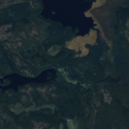
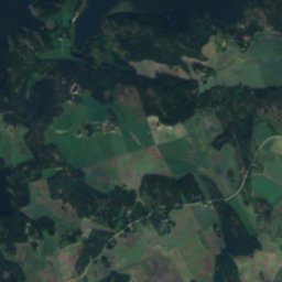
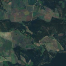
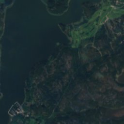
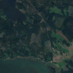
Satellite: Sentinel-2 cloudless 2016 by EOX IT Services GmbH · CC BY 4.0 · Contains modified Copernicus Sentinel data 2016
Matildanjärvi
Lake · 44 m
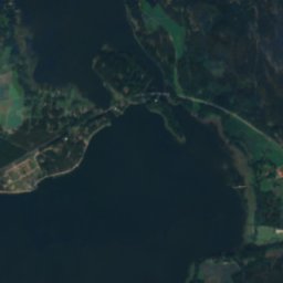
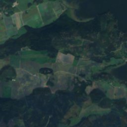
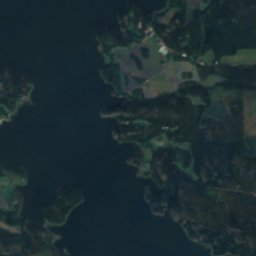
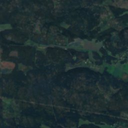
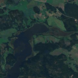
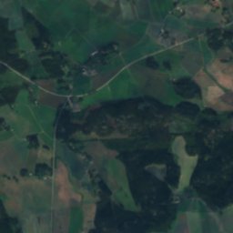
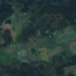
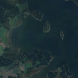
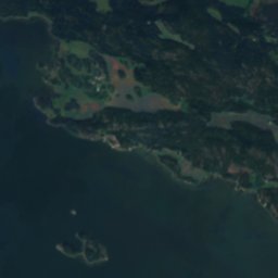
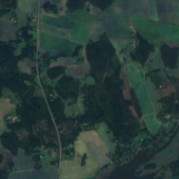
Satellite: Sentinel-2 cloudless 2016 by EOX IT Services GmbH · CC BY 4.0 · Contains modified Copernicus Sentinel data 2016
Makarlanjärvi
Lake · 9 m
Heritage


Museums



Satellite: Sentinel-2 cloudless 2016 by EOX IT Services GmbH · CC BY 4.0 · Contains modified Copernicus Sentinel data 2016