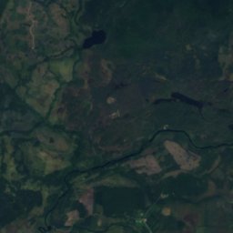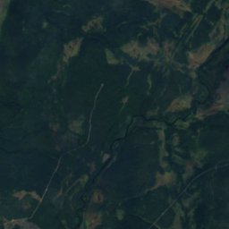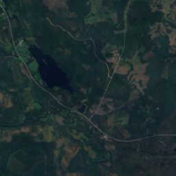
































Satellite: Sentinel-2 cloudless 2016 by EOX IT Services GmbH · CC BY 4.0 · Contains modified Copernicus Sentinel data 2016
historic house museumTaivalkoski, North Ostrobothnia
Kallioniemi
Cultural Heritage Site of National SignificanceBuilt 1922
Typehistoric house museum
Built1922
Best monthsJun–Augweather in Taivalkoski
65.50° N, 28.58° EUTC+2 · Eastern European Standard Time
Standing for104 years
built 1922today 2026
When to goTaivalkoski · weather score
Best timeJun–Aug
October: high / low4° / -1°
iAbout
Kallioniemi in brief
Kallioniemi is a historic house museum in Taivalkoski, North Ostrobothnia, Finland.
It holds the designation Cultural Heritage Site of National Significance.
The historic house museum dates from 1922.
For a visit, the weather in Taivalkoski is best in June, July and August; in October afternoons average 4°.
Facts
- Type
- historic house museum
- Designation
- Cultural Heritage Site of National Significance
- Built
- 1922
- Nearest town
- Taivalkoski
- Region
- North Ostrobothnia
- Coordinates
- 65.50122, 28.57539
iiLocation
Where to find it
iiiWhen to visit
Climate guideWeather in Taivalkoski
Month score for sightseeing
Best Jun–Aug12
Jan
16
Feb
20
Mar
18
Apr
27
May
59
Jun
62
Jul
57
Aug
25
Sep
12
Oct
12
Nov
10
Dec
Around here
Taivalkoski and around

Nature



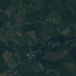
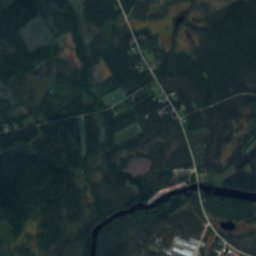
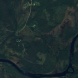

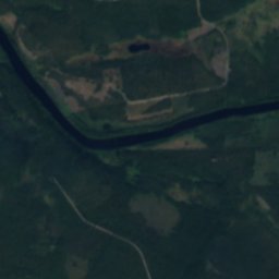
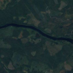
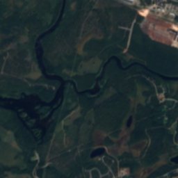
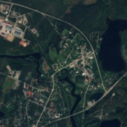
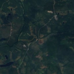
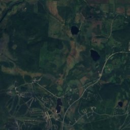
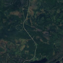
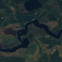
Satellite: Sentinel-2 cloudless 2016 by EOX IT Services GmbH · CC BY 4.0 · Contains modified Copernicus Sentinel data 2016
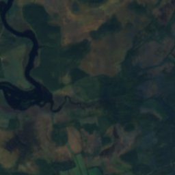
Kostonjoki
River · 180 m
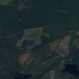
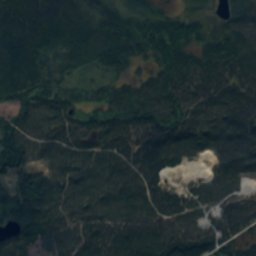
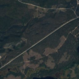
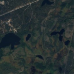
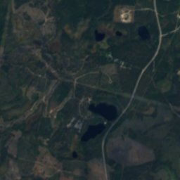
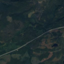
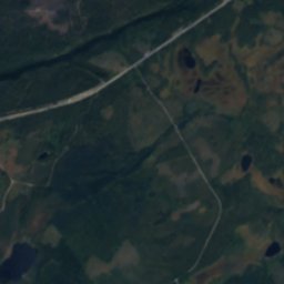
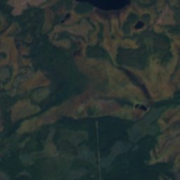
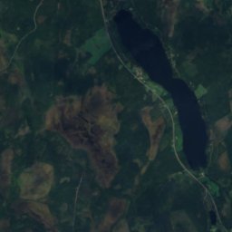
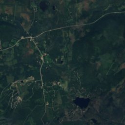
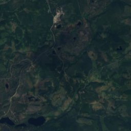
Satellite: Sentinel-2 cloudless 2016 by EOX IT Services GmbH · CC BY 4.0 · Contains modified Copernicus Sentinel data 2016
Maijanlampi
Lake · 230 m

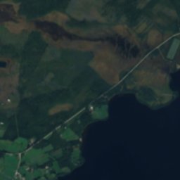

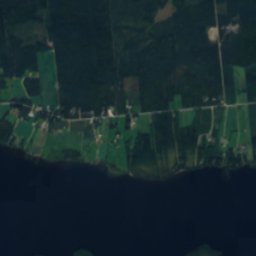
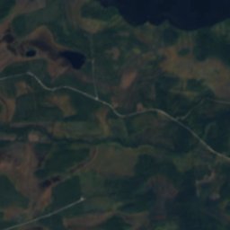
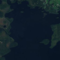


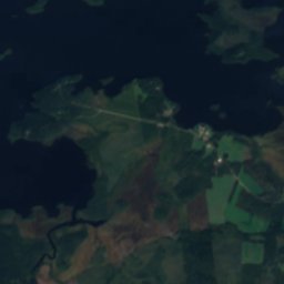
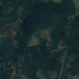
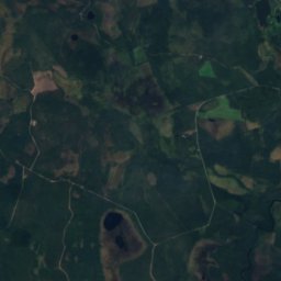
Satellite: Sentinel-2 cloudless 2016 by EOX IT Services GmbH · CC BY 4.0 · Contains modified Copernicus Sentinel data 2016
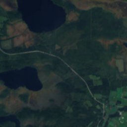
Tyräjärvi, North Ostrobothnia
Lake · 224 m