
Photo: Marko Vainu · CC BY-SA 4.0 · Wikimedia Commons
Padaorg pineReport this photo · linked, not stored
Padaorg pineReport this photo · linked, not stored

Photo: Oop · CC BY-SA 3.0 · Wikimedia Commons
St. Mary's chapelReport this photo · linked, not stored
St. Mary's chapelSt. Mary's chapelReport this photo · linked, not stored

Photo: Marko Vainu · CC BY-SA 4.0 · Wikimedia Commons
Silmaallikas, Viru-NigulaReport this photo · linked, not stored
Silmaallikas, Viru-NigulaSilmaallikas, Viru-NigulaReport this photo · linked, not stored

Photo: Oop · CC BY-SA 3.0 · Wikimedia Commons
Viru-Nigula ChurchReport this photo · linked, not stored
Viru-Nigula ChurchViru-Nigula ChurchReport this photo · linked, not stored
remarkable treeViru-Nigula, Lääne-Virumaa
Padaorg pine
individual protected natural object
Typeremarkable tree
Built–
Best monthsJun–Augweather in Viru-Nigula
59.43° N, 26.71° EUTC+2 · Eastern European Standard Time
When to goViru-Nigula · weather score
Best timeJun–Aug
October: high / low9° / 3°
iAbout
Padaorg pine in brief
Padaorg pine is a remarkable tree in Viru-Nigula, Lääne-Virumaa, Estonia.
It holds the designation individual protected natural object.
For a visit, the weather in Viru-Nigula is best in June, July and August; in October afternoons average 9°.
Facts
- Type
- remarkable tree
- Designation
- individual protected natural object
- Nearest town
- Viru-Nigula
- Region
- Lääne-Virumaa
- Coordinates
- 59.43193, 26.71008
iiLocation
Where to find it
iiiWhen to visit
Climate guideWeather in Viru-Nigula
Month score for sightseeing
Best Jun–Aug13
Jan
20
Feb
26
Mar
31
Apr
61
May
66
Jun
67
Jul
65
Aug
54
Sep
16
Oct
10
Nov
10
Dec
ivNearby
All monuments in EstoniaMore heritage close by
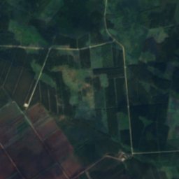
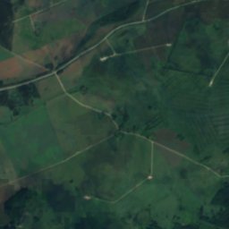
Satellite: Sentinel-2 cloudless 2016 by EOX IT Services GmbH · CC BY 4.0 · Contains modified Copernicus Sentinel data 2016
Pada Hillfort
0.3 km N
archaeological monument


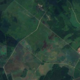
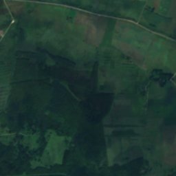
Satellite: Sentinel-2 cloudless 2016 by EOX IT Services GmbH · CC BY 4.0 · Contains modified Copernicus Sentinel data 2016
Padaorg Nature Park
1.8 km S
nature park
Around here
Viru-Nigula and around
Nature




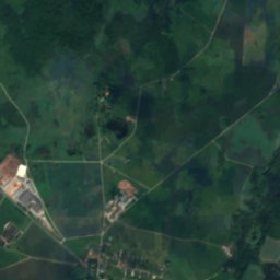
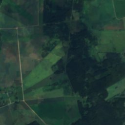
Satellite: Sentinel-2 cloudless 2016 by EOX IT Services GmbH · CC BY 4.0 · Contains modified Copernicus Sentinel data 2016
Pada River
River
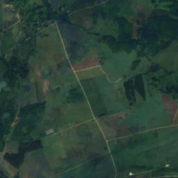
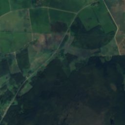
Satellite: Sentinel-2 cloudless 2016 by EOX IT Services GmbH · CC BY 4.0 · Contains modified Copernicus Sentinel data 2016
Padaorg Reservoir
Lake
Heritage


Satellite: Sentinel-2 cloudless 2016 by EOX IT Services GmbH · CC BY 4.0 · Contains modified Copernicus Sentinel data 2016
Viru-Nigula Church
architectural monument


Satellite: Sentinel-2 cloudless 2016 by EOX IT Services GmbH · CC BY 4.0 · Contains modified Copernicus Sentinel data 2016
Pada Hillfort
archaeological monument