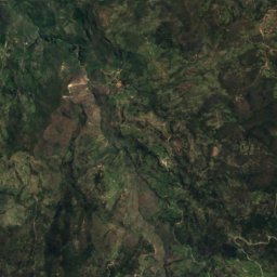
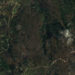
Photo: Agencia de Noticias ANDES · CC BY-SA 2.0 · Wikimedia Commons
ZarumaReport this photo · linked, not stored
ZarumaReport this photo · linked, not stored
cityZaruma, El Oro
Zaruma
Tentative World Heritage SiteBuilt 1595
Typecity
Built1595
Best monthsJul–Sepweather in Zaruma
3.68° S, 79.60° WUTC−5 · Ecuador Time
Standing for431 years
built 1595today 2026
When to goZaruma · weather score
Best timeJul–Sep
October: high / low25° / 17°
iAbout
Zaruma in brief
Zaruma is a city in Zaruma, El Oro, Ecuador.
It holds the designation Tentative World Heritage Site.
The city dates from 1595.
For a visit, the weather in Zaruma is best in July, August and September; in October afternoons average 25°.
iiLocation
Where to find it
iiiWhen to visit
Climate guideWeather in Zaruma
Month score for sightseeing
Best Jul–Sep49
Jan
48
Feb
49
Mar
52
Apr
59
May
72
Jun
79
Jul
81
Aug
74
Sep
61
Oct
59
Nov
56
Dec
Around here
Zaruma and around

Photo: Agencia de Noticias ANDES · CC BY-SA 2.0 · Wikimedia CommonsReport this photo · linked, not stored
Zaruma
El Oro · Ecuador
Jul–Sepbest months
26°July high
1,056 maltitude