
Photo: Asamblea Nacional del Ecuador · CC BY-SA 2.0 · Wikimedia Commons
QuitoReport this photo · linked, not stored
QuitoReport this photo · linked, not stored

Photo: Quitolabicicleta · CC BY-SA 3.0 · Wikimedia Commons
Parque El EjidoReport this photo · linked, not stored
Parque El EjidoParque El EjidoReport this photo · linked, not stored
cityQuito, Pichincha
Quito
World Heritage SiteBuilt 1534
Typecity
Built1534
Best monthsJul–Sepweather in Quito
0.22° S, 78.51° WUTC−5 · Ecuador Time
Standing for492 years
built 1534today 2026
When to goQuito · weather score
Best timeJul–Sep
October: high / low16° / 9°
iAbout
Quito in brief
Quito is a city in Quito, Pichincha, Ecuador.
It holds the designation World Heritage Site.
The city dates from 1534.
For a visit, the weather in Quito is best in July, August and September; in October afternoons average 16°.
iiLocation
Where to find it
ivNearby
All monuments in EcuadorMore heritage close by

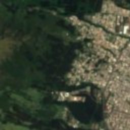
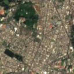
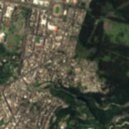
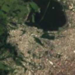
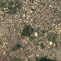
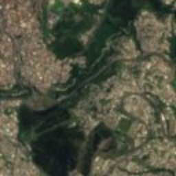
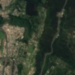
Satellite: Sentinel-2 cloudless 2016 by EOX IT Services GmbH · CC BY 4.0 · Contains modified Copernicus Sentinel data 2016
Historic Center of Quito
under 100 m E
World Heritage Site
Around here
Quito and around

Photo: Asamblea Nacional del Ecuador · CC BY-SA 2.0 · Wikimedia CommonsReport this photo · linked, not stored
Quito
Pichincha · Ecuador
Jul–Sepbest months
17°July high
2,854 maltitude
Mountains
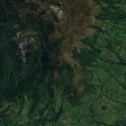
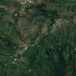
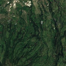
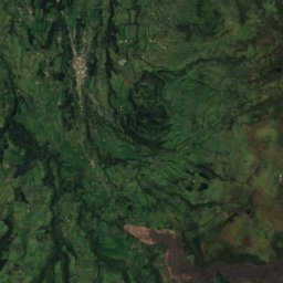
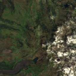
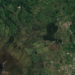
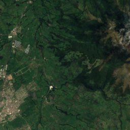
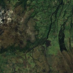
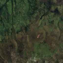
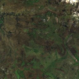
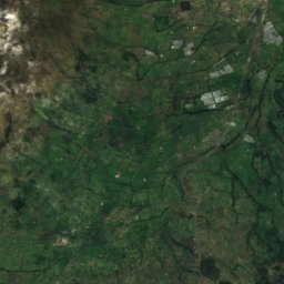
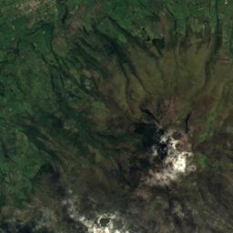
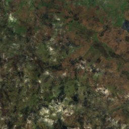
Satellite: Sentinel-2 cloudless 2016 by EOX IT Services GmbH · CC BY 4.0 · Contains modified Copernicus Sentinel data 2016
Sincholagua Volcano
4,899 m · Andes


Heritage
Satellite: Sentinel-2 cloudless 2016 by EOX IT Services GmbH · CC BY 4.0 · Contains modified Copernicus Sentinel data 2016
Historic Center of Quito
World Heritage Site


