
Photo: Priscila Jackeline · CC BY 4.0 · Wikimedia Commons
La TembladeraReport this photo · linked, not stored
La TembladeraReport this photo · linked, not stored
wetlandSanta Rosa, El Oro
La Tembladera
Ramsar site
Typewetland
Built–
Best monthsJul–Sepweather in Santa Rosa
3.49° S, 79.99° WUTC−5 · Ecuador Time
When to goSanta Rosa · weather score
Best timeJul–Sep
October: high / low27° / 20°
iAbout
La Tembladera in brief
La Tembladera is a wetland in Santa Rosa, El Oro, Ecuador.
It holds the designation Ramsar site.
For a visit, the weather in Santa Rosa is best in July, August and September; in October afternoons average 27°.
Facts
- Type
- wetland
- Designation
- Ramsar site
- Nearest town
- Santa Rosa
- Region
- El Oro
- Coordinates
- -3.49249, -79.99310
iiLocation
Where to find it
Around here
Santa Rosa and around

Nature
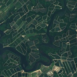
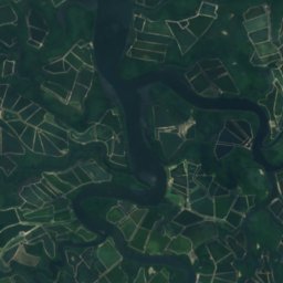
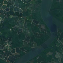
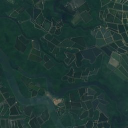
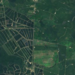
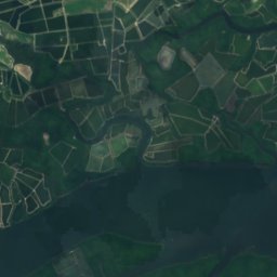
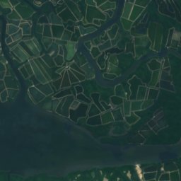
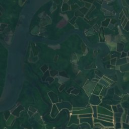
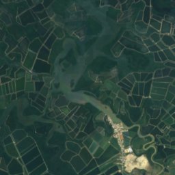
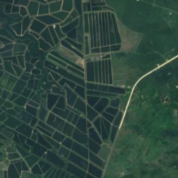
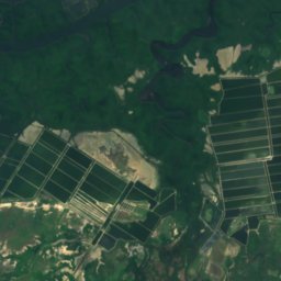
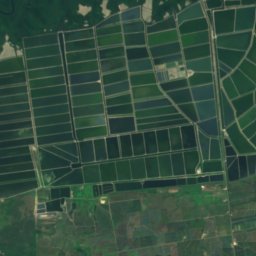
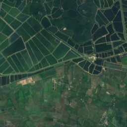
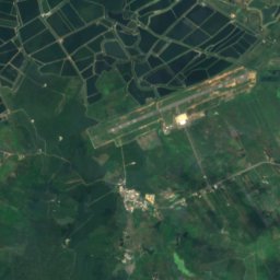
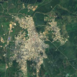
Satellite: Sentinel-2 cloudless 2016 by EOX IT Services GmbH · CC BY 4.0 · Contains modified Copernicus Sentinel data 2016
Arenillas River
River

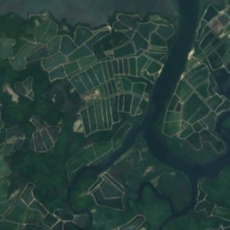
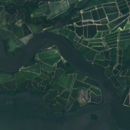
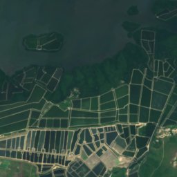


Satellite: Sentinel-2 cloudless 2016 by EOX IT Services GmbH · CC BY 4.0 · Contains modified Copernicus Sentinel data 2016
Isla de Pongal
Island