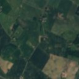
Satellite: Sentinel-2 cloudless 2016 by EOX IT Services GmbH · CC BY 4.0 · Contains modified Copernicus Sentinel data 2016

Photo: Beethoven9 · CC BY-SA 3.0 · Wikimedia Commons
Karrebæk MølleReport this photo · linked, not stored
Karrebæk MølleKarrebæk MølleReport this photo · linked, not stored
manor houseKlinteby Frihed, Zealand
Saltø
monument on Kulturstyrelsen register
Typemanor house
Built–
Best monthsJun–Jul · Sepweather in Klinteby Frihed
55.23° N, 11.63° EUTC+2 · Central European Summer Time
When to goKlinteby Frihed · weather score
Best timeJun–Jul · Sep
October: high / low13° / 8°
iAbout
Saltø in brief
Saltø is a manor house in Klinteby Frihed, Zealand, Denmark.
It holds the designation monument on Kulturstyrelsen register.
For a visit, the weather in Klinteby Frihed is best in June, July and September; in October afternoons average 13°.
Facts
- Type
- manor house
- Designation
- monument on Kulturstyrelsen register
- Nearest town
- Klinteby Frihed
- Region
- Zealand
- Coordinates
- 55.22710, 11.63210
iiLocation
Where to find it
ivNearby
All monuments in DenmarkMore heritage close by
Around here
Klinteby Frihed and around
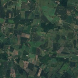
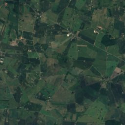
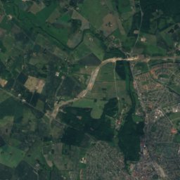
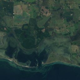
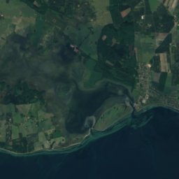
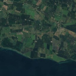
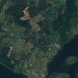
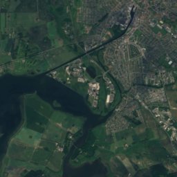



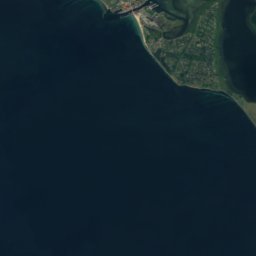
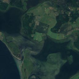
Satellite: Sentinel-2 cloudless 2016 by EOX IT Services GmbH · CC BY 4.0 · Contains modified Copernicus Sentinel data 2016
Klinteby Frihed
Zealand · Denmark
Jun–Jul · Sepbest months
22°July high
5 maltitude
Nature
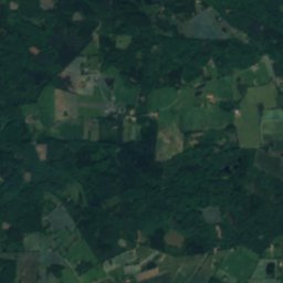
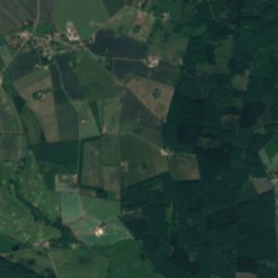
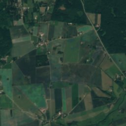
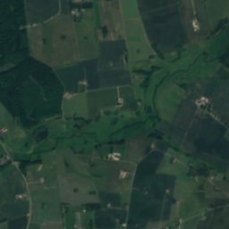

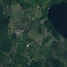
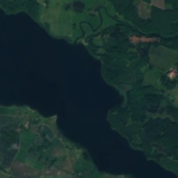
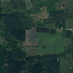
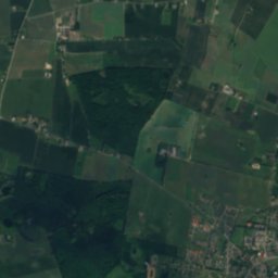
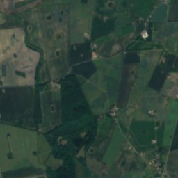
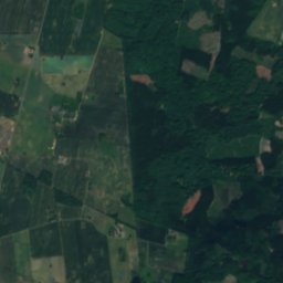
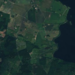
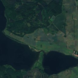
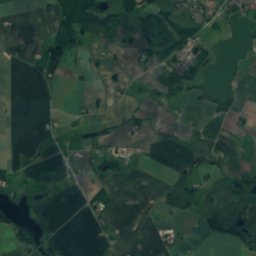
Satellite: Sentinel-2 cloudless 2016 by EOX IT Services GmbH · CC BY 4.0 · Contains modified Copernicus Sentinel data 2016
Tystrup Sø
Lake · 5 m

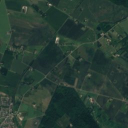
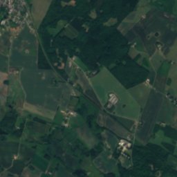
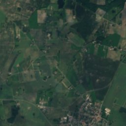
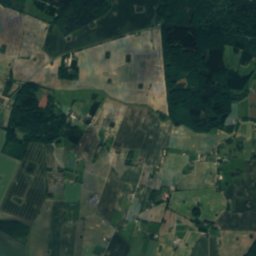
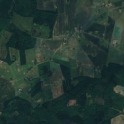
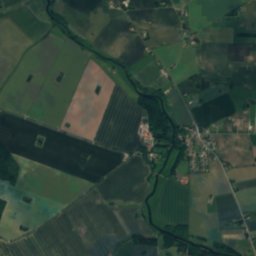
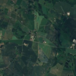
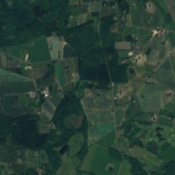
Satellite: Sentinel-2 cloudless 2016 by EOX IT Services GmbH · CC BY 4.0 · Contains modified Copernicus Sentinel data 2016
Bavelse Sø
Lake · 4 m
Heritage



Satellite: Sentinel-2 cloudless 2016 by EOX IT Services GmbH · CC BY 4.0 · Contains modified Copernicus Sentinel data 2016
Gavnø Castle
monument on Kulturstyrelsen register · 1758

Museums

Photo: Nico-dk (talk) 09:21, 11 July 2010 (UTC) / Nils Jepsen · CC BY-SA 3.0 · Wikimedia CommonsReport this photo · linked, not stored
Næstved Museum
1917

Satellite: Sentinel-2 cloudless 2016 by EOX IT Services GmbH · CC BY 4.0 · Contains modified Copernicus Sentinel data 2016
Næstved Automobilmuseum
Automobile museum


Satellite: Sentinel-2 cloudless 2016 by EOX IT Services GmbH · CC BY 4.0 · Contains modified Copernicus Sentinel data 2016
Medicinsk-historisk Museum
Cultural history museum · 1817