

Photo: Ramblersen2 · CC BY-SA 4.0 · Wikimedia Commons
RågegårdenReport this photo · linked, not stored
RågegårdenRågegårdenReport this photo · linked, not stored
tumulusRågeleje, Capital Region
Ludshøj
protected ancient monument in Denmark
Typetumulus
Built–
Best monthsJun · Aug–Sepweather in Rågeleje
56.08° N, 12.21° EUTC+1 · Central European Standard Time
When to goRågeleje · weather score
Best timeJun · Aug–Sep
October: high / low12° / 9°
iAbout
Ludshøj in brief
Ludshøj is a tumulus in Rågeleje, Capital Region, Denmark. Ancient monument in Gribskov Municipality (91687).
It holds the designation protected ancient monument in Denmark.
For a visit, the weather in Rågeleje is best in June, August and September; in October afternoons average 12°.
Facts
- Type
- tumulus
- Designation
- protected ancient monument in Denmark
- Nearest town
- Rågeleje
- Region
- Capital Region
- Coordinates
- 56.07729, 12.21416
iiLocation
Where to find it
iiiWhen to visit
Climate guideWeather in Rågeleje
Month score for sightseeing
Best Jun · Aug–Sep15
Jan
18
Feb
26
Mar
37
Apr
57
May
76
Jun
66
Jul
67
Aug
67
Sep
31
Oct
17
Nov
15
Dec
ivNearby
All monuments in DenmarkMore heritage close by
Around here
Rågeleje and around

Photo: Johan Wessman / News Oresund · CC BY 2.0 · Wikimedia CommonsReport this photo · linked, not stored
Rågeleje
Capital Region · Denmark
Jun · Aug–Sepbest months
21°July high
11 maltitude
Nature
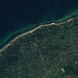
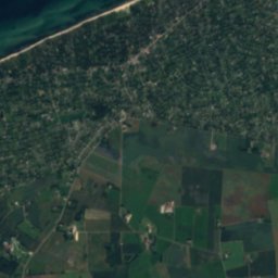
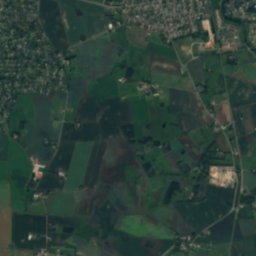
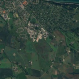
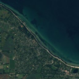
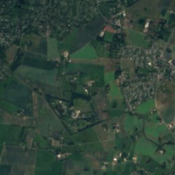
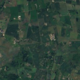
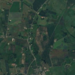
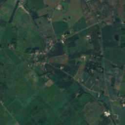
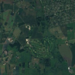
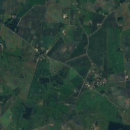
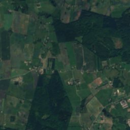
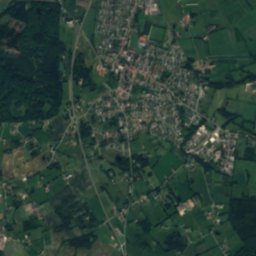
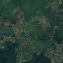
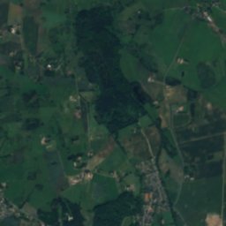
Satellite: Sentinel-2 cloudless 2016 by EOX IT Services GmbH · CC BY 4.0 · Contains modified Copernicus Sentinel data 2016
Søborg Sø
Lake

Photo: Guillaume Baviere from Helsingborg, Sweden · CC BY 2.0 · Wikimedia CommonsReport this photo · linked, not stored
Kongernes Nordsjælland
National park
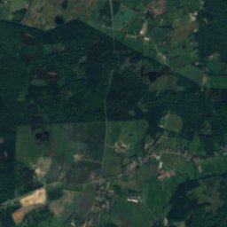
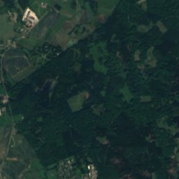
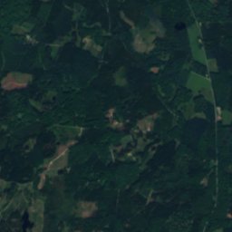
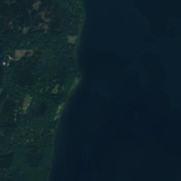
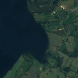
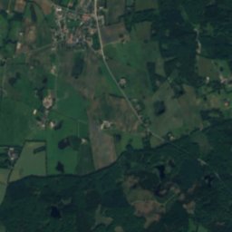
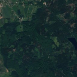
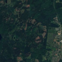
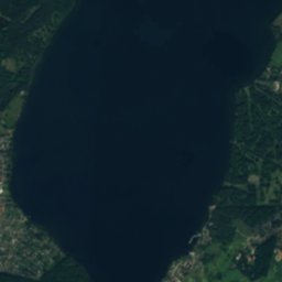
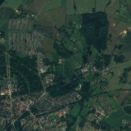
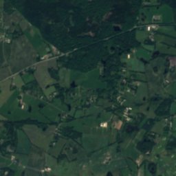
Satellite: Sentinel-2 cloudless 2016 by EOX IT Services GmbH · CC BY 4.0 · Contains modified Copernicus Sentinel data 2016
Lake Esrum
Lake · 94 m
Heritage


Museums


Satellite: Sentinel-2 cloudless 2016 by EOX IT Services GmbH · CC BY 4.0 · Contains modified Copernicus Sentinel data 2016
Rudolph Tegner Museum
Art museum · 1938


Satellite: Sentinel-2 cloudless 2016 by EOX IT Services GmbH · CC BY 4.0 · Contains modified Copernicus Sentinel data 2016