
Photo: MartinVeselka · CC BY-SA 4.0 · Wikimedia Commons
ČastavínReport this photo · linked, not stored
ČastavínReport this photo · linked, not stored

Photo: Lukas Jedlicka · CC BY-SA 3.0 · Wikimedia Commons
Masné krámy, StrakoniceReport this photo · linked, not stored
Masné krámy, StrakoniceMasné krámy, StrakoniceReport this photo · linked, not stored

Photo: Martin Kozák · CC BY-SA 3.0 · Wikimedia Commons
Old town hall in StrakoniceReport this photo · linked, not stored
Old town hall in StrakoniceOld town hall in StrakoniceReport this photo · linked, not stored

Photo: Helcapas · CC BY-SA 3.0 · Wikimedia Commons
Church of Saint Margaret (Strakonice)Report this photo · linked, not stored
Church of Saint Margaret (Strakonice)Church of Saint Margaret (Strakonice)Report this photo · linked, not stored

Photo: Martin Kozák · CC BY-SA 3.0 · Wikimedia Commons
City walls of StrakoniceReport this photo · linked, not stored
City walls of StrakoniceCity walls of StrakoniceReport this photo · linked, not stored
abandoned villageStrakonice, South Bohemian Region
Častavín
cultural monument of the Czech Republic
Typeabandoned village
Built–
Best monthsJul–Sepweather in Strakonice
49.27° N, 13.92° EUTC+1 · Central European Standard Time
When to goStrakonice · weather score
Best timeJul–Sep
October: high / low13° / 5°
iAbout
Častavín in brief
Častavín is an abandoned village in Strakonice, South Bohemian Region, Czechia.
It holds the designation cultural monument of the Czech Republic.
For a visit, the weather in Strakonice is best in July, August and September; in October afternoons average 13°.
Facts
- Type
- abandoned village
- Designation
- cultural monument of the Czech Republic
- Nearest town
- Strakonice
- Region
- South Bohemian Region
- Coordinates
- 49.26674, 13.92052
iiLocation
Where to find it
ivNearby
All monuments in CzechiaMore heritage close by
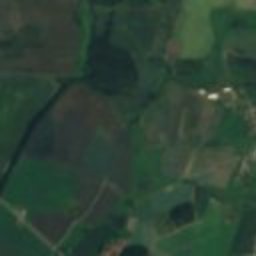
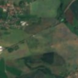
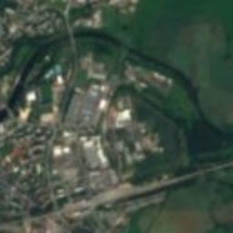
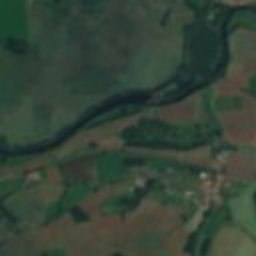

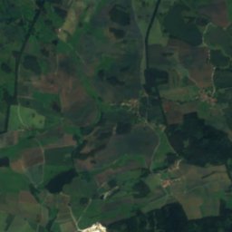
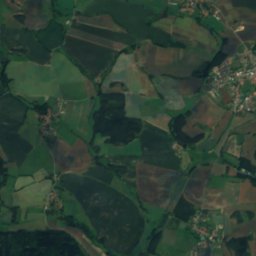
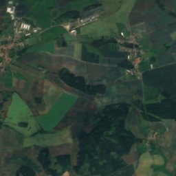
Satellite: Sentinel-2 cloudless 2016 by EOX IT Services GmbH · CC BY 4.0 · Contains modified Copernicus Sentinel data 2016
Church of Saint Wenceslaus, Strakonice
1.4 km S
cultural monument of the Czech Republic
Old town hall in Strakonice
1.5 km SW
cultural monument of the Czech Republic
Church of Saint Margaret (Strakonice)
1.5 km SW
cultural monument of the Czech Republic

Around here
Strakonice and around

Nature

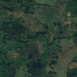
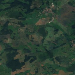
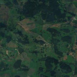
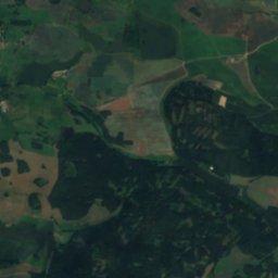
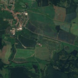
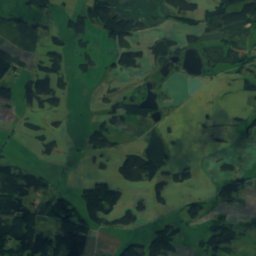
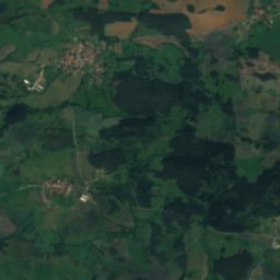
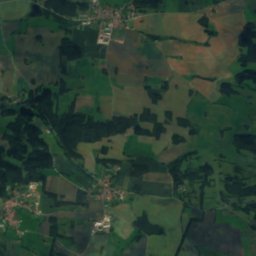
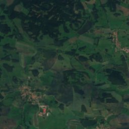
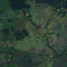
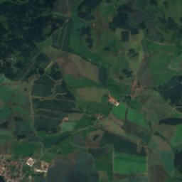
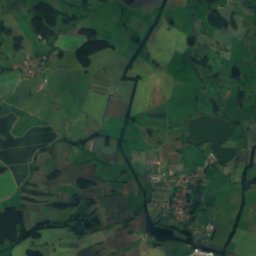
Satellite: Sentinel-2 cloudless 2016 by EOX IT Services GmbH · CC BY 4.0 · Contains modified Copernicus Sentinel data 2016
Velké jezero, South Bohemian Region
Lake · 468 m
Satellite: Sentinel-2 cloudless 2016 by EOX IT Services GmbH · CC BY 4.0 · Contains modified Copernicus Sentinel data 2016
Malé jezero, South Bohemian Region
Lake
Mountains


Heritage


Church of Our Lady of Sorrows, Nebřehovice
cultural monument of the Czech Republic · 1770

Jewish cemetery in Strakonice
cultural monument of the Czech Republic · 1700
Museums


Satellite: Sentinel-2 cloudless 2016 by EOX IT Services GmbH · CC BY 4.0 · Contains modified Copernicus Sentinel data 2016
Museum of Central Otava Region of Strakonice
2003