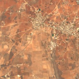
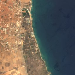
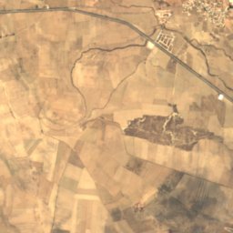
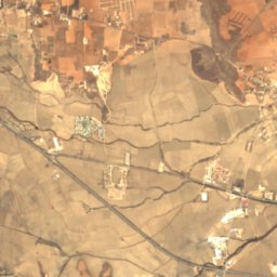
Photo: George Groutas Camera location35° 10′ 27.84″ N, 33° 45′ 25.95″ E View this and o · CC BY 2.0 · Wikimedia Commons
MesaoriaReport this photo · linked, not stored
MesaoriaReport this photo · linked, not stored
plainStrongylos, Ammochostos
Mesaoria
Important Bird Area
Typeplain
Built–
Best monthsMar–Apr · Novweather in Strongylos
35.17° N, 33.67° EUTC+3 · Eastern European Summer Time
When to goStrongylos · weather score
Best timeMar–Apr · Nov
October: high / low29° / 17°
iAbout
Mesaoria in brief
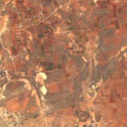
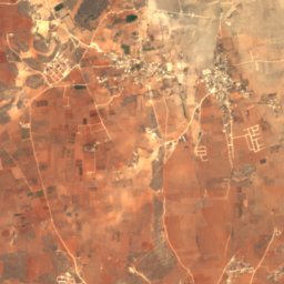
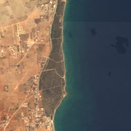
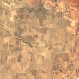
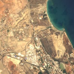
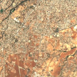
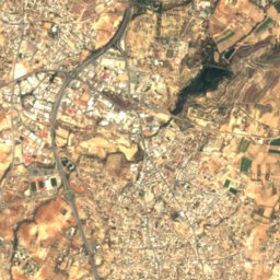
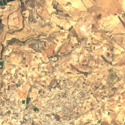
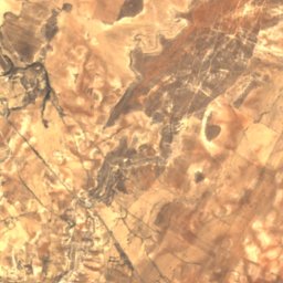
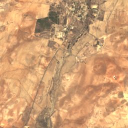
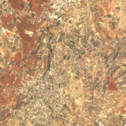
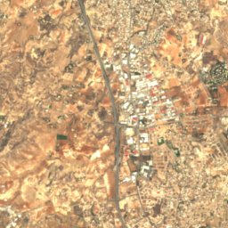
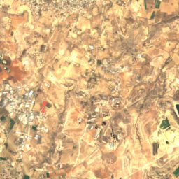
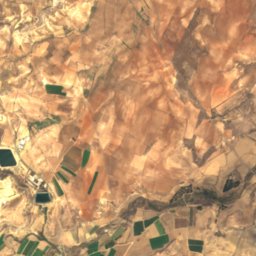
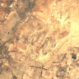
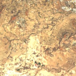
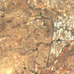
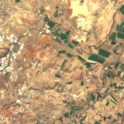
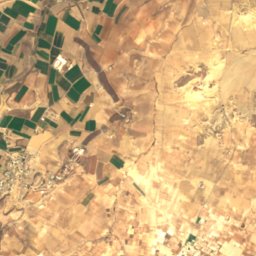
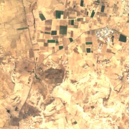
Mesaoria is a plain in Strongylos, Ammochostos, Cyprus.
It holds the designation Important Bird Area.
For a visit, the weather in Strongylos is best in March, April and November; in October afternoons average 29°.
Facts
- Type
- plain
- Designation
- Important Bird Area
- Nearest town
- Strongylos
- Region
- Ammochostos
- Coordinates
- 35.16667, 33.66667
iiLocation
Where to find it
iiiWhen to visit
Climate guideWeather in Strongylos
Month score for sightseeing
Best Mar–Apr · Nov66
Jan
76
Feb
86
Mar
89
Apr
75
May
63
Jun
58
Jul
58
Aug
58
Sep
70
Oct
85
Nov
75
Dec
Around here
Strongylos and around

Photo: George Groutas Camera location35° 10′ 27.84″ N, 33° 45′ 25.95″ E View this and o · CC BY 2.0 · Wikimedia CommonsReport this photo · linked, not stored
Strongylos
Ammochostos · Cyprus
Mar–Apr · Novbest months
36°July high
48 maltitude