
community of Cyprus RepublicKlirou, Nicosia
Klirou
Tentative World Heritage Site
Typecommunity of Cyprus Republic
Built–
Best monthsMar–Apr · Novweather in Klirou
35.02° N, 33.18° EUTC+2 · Eastern European Standard Time
When to goKlirou · weather score
Best timeMar–Apr · Nov
October: high / low28° / 14°
iAbout
Klirou in brief
Klirou is a community of cyprus republic in Klirou, Nicosia, Cyprus.
It holds the designation Tentative World Heritage Site.
For a visit, the weather in Klirou is best in March, April and November; in October afternoons average 28°.
iiLocation
Where to find it
iiiWhen to visit
Climate guideWeather in Klirou
Month score for sightseeing
Best Mar–Apr · Nov54
Jan
65
Feb
86
Mar
89
Apr
78
May
63
Jun
58
Jul
58
Aug
60
Sep
74
Oct
85
Nov
66
Dec
ivNearby
All monuments in CyprusMore heritage close by

Around here
Klirou and around

Nature


Photo: Fry72, Karel Frydrýšek · CC BY-SA 4.0 · Wikimedia CommonsReport this photo · linked, not stored
Mitsero Red Lake
Lake
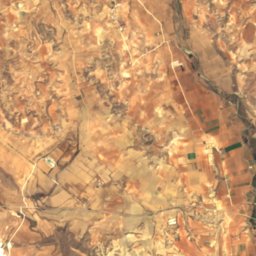
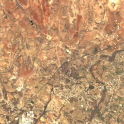
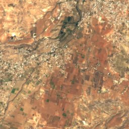
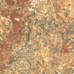
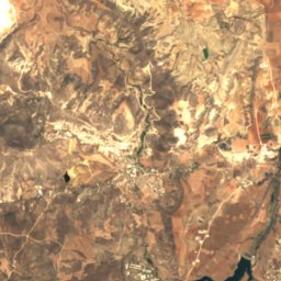
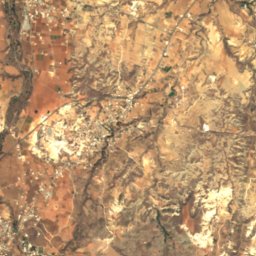
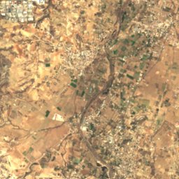
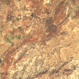
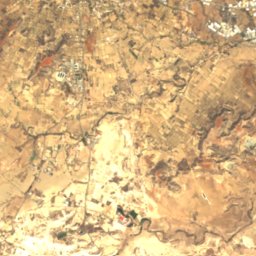
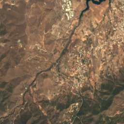
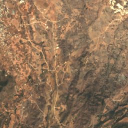
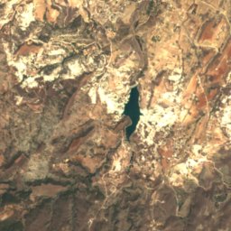
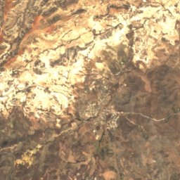
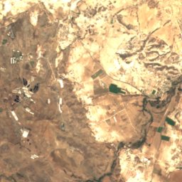
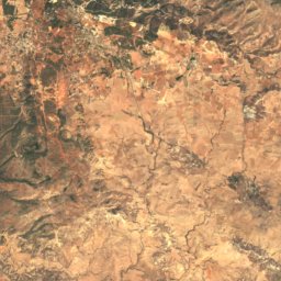
Satellite: Sentinel-2 cloudless 2016 by EOX IT Services GmbH · CC BY 4.0 · Contains modified Copernicus Sentinel data 2016
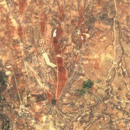
Tamasos Reservoir
Lake
Mountains
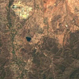
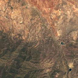
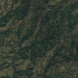
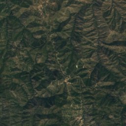
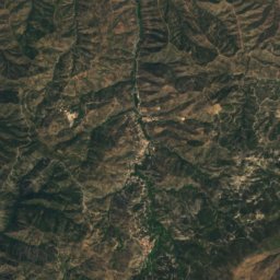
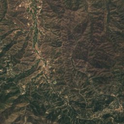
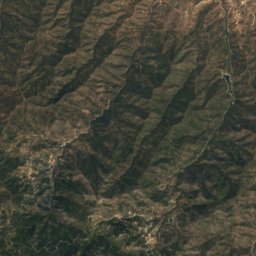
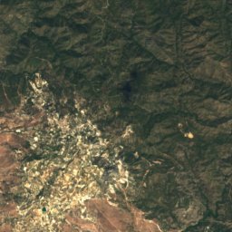
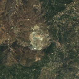
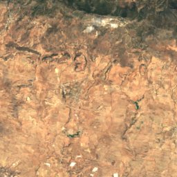
Satellite: Sentinel-2 cloudless 2016 by EOX IT Services GmbH · CC BY 4.0 · Contains modified Copernicus Sentinel data 2016
Mount Olympus
1,952 m · Troodos Mountains
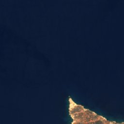




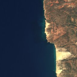
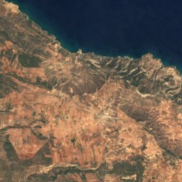
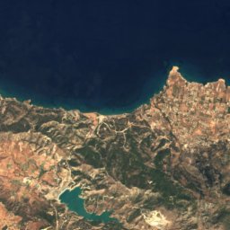
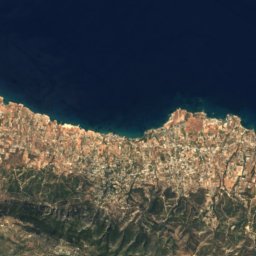
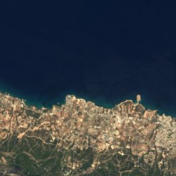
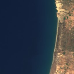
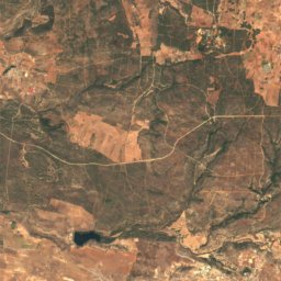
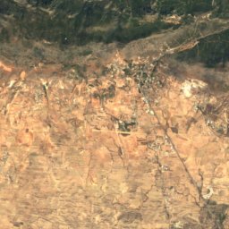
Satellite: Sentinel-2 cloudless 2016 by EOX IT Services GmbH · CC BY 4.0 · Contains modified Copernicus Sentinel data 2016
Mount Selvili
1,024 m · Kyrenia Mountains
Heritage





Satellite: Sentinel-2 cloudless 2016 by EOX IT Services GmbH · CC BY 4.0 · Contains modified Copernicus Sentinel data 2016
Malounta
Tentative World Heritage Site

Photo: Unbekannte Künstler zwischen 1200 und 1400 · Public domain · Wikimedia CommonsReport this photo · linked, not stored
Painted Churches in the Troödos Region
World Heritage Site


