
Photo: Severin.stalder · CC BY-SA 3.0 · Wikimedia Commons
Viñales ValleyReport this photo · linked, not stored
Viñales ValleyReport this photo · linked, not stored
valleyViñales, Pinar del Río
Viñales Valley
World Heritage Site
Typevalley
Built–
Best monthsJan–Feb · Decweather in Viñales
22.62° N, 83.72° WUTC−4 · Cuba Daylight Time
When to goViñales · weather score
Best timeJan–Feb · Dec
October: high / low29° / 23°
iAbout
Viñales Valley in brief
Viñales Valley is a valley in Viñales, Pinar del Río, Cuba. Valley.
It holds the designation World Heritage Site.
For a visit, the weather in Viñales is best in January, February and December; in October afternoons average 29°.
Facts
- Type
- valley
- Designation
- World Heritage Site
- Nearest town
- Viñales
- Region
- Pinar del Río
- Coordinates
- 22.61667, -83.71667
iiLocation
Where to find it
iiiWhen to visit
Climate guideWeather in Viñales
Month score for sightseeing
Best Jan–Feb · Dec89
Jan
82
Feb
77
Mar
69
Apr
50
May
41
Jun
40
Jul
39
Aug
42
Sep
53
Oct
69
Nov
83
Dec
Around here
Viñales and around

Nature

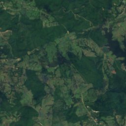
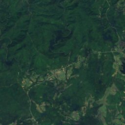
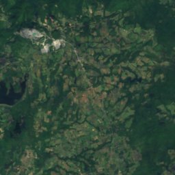
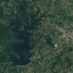
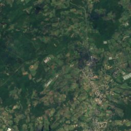
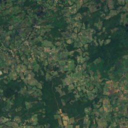
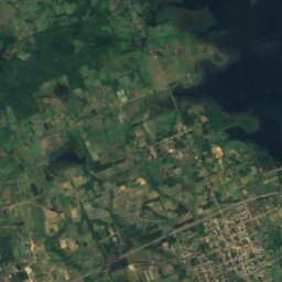
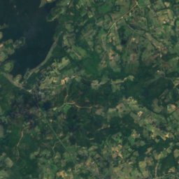
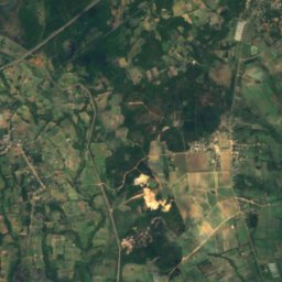
Satellite: Sentinel-2 cloudless 2016 by EOX IT Services GmbH · CC BY 4.0 · Contains modified Copernicus Sentinel data 2016
Embalse El Patate
Lake · 63 m
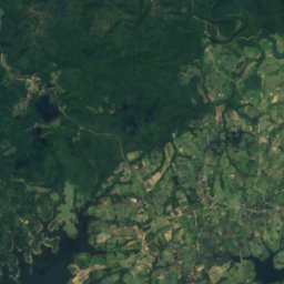
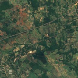
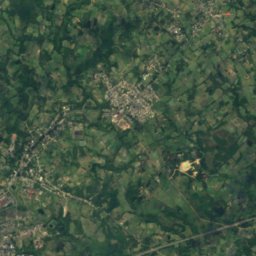
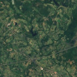
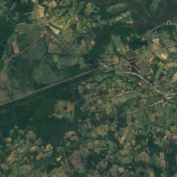
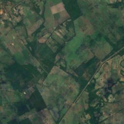
Satellite: Sentinel-2 cloudless 2016 by EOX IT Services GmbH · CC BY 4.0 · Contains modified Copernicus Sentinel data 2016
Embalse Ramírez
Lake · 27 m


