
















Skip to content
Destinations
Weather & climate
Nature
Outdoors
Culture
Events
Sky & live
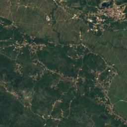
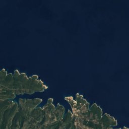
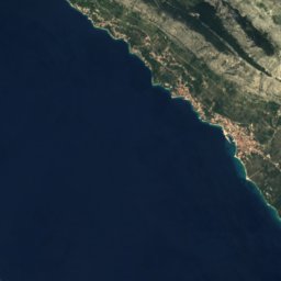
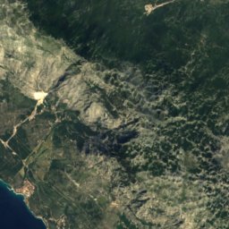
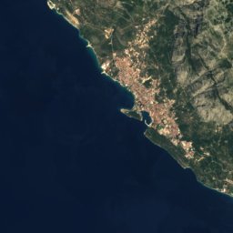
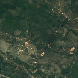
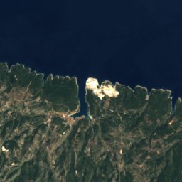
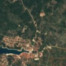
Satellite: Sentinel-2 cloudless 2016 by EOX IT Services GmbH · CC BY 4.0 · Contains modified Copernicus Sentinel data 2016
Galešnik (utvrda)
Photo: Falk2 · CC BY-SA 4.0 · Wikimedia Commons
Galešnik (utvrda)Report this photo · linked, not stored
Galešnik (utvrda)
Salamunić House in Jelsa
Photo: Argo Navis · CC BY-SA 4.0 · Wikimedia Commons
Salamunić House in JelsaReport this photo · linked, not stored
Salamunić House in Jelsa
Church of Mary’s Assumption
Photo: Argo Navis · CC BY-SA 4.0 · Wikimedia Commons
Church of Mary’s AssumptionReport this photo · linked, not stored
Church of Mary’s Assumption
Church of Saint John
Photo: Falk2 · CC BY-SA 4.0 · Wikimedia Commons
Church of Saint JohnReport this photo · linked, not stored
Church of Saint John
castle ruinJelsa, Split-Dalmatia

Tor

Register of Cultural Goods of Croatia
Typecastle ruin
Built–
Best monthsMay–Jun · Sepweather in Jelsa
43.15° N, 16.70° EUTC+1 · Central European Standard Time
When to goJelsa · weather score
JanFebMarAprMayJunJulAugSepOctNovDec78October
Best timeMay–Jun · Sep
October: high / low21° / 17°
iAbout

Tor in brief

Tor is a castle ruin in Jelsa, Split-Dalmatia, Croatia.

It holds the designation Register of Cultural Goods of Croatia.

For a visit, the weather in Jelsa is best in May, June and September; in October afternoons average 21°.

Jelsa: weather and travel guide

Facts

Type
castle ruin
Designation
Register of Cultural Goods of Croatia
Nearest town
Jelsa
Region
Split-Dalmatia
Coordinates
43.14838, 16.69686
iiLocation

Where to find it

iiiWhen to visit

Weather in Jelsa

Climate guide

Month score for sightseeing

Best May–Jun · Sep
38
Jan
44
Feb
56
Mar
76
Apr
79
May
78
Jun
73
Jul
72
Aug
81
Sep
78
Oct
61
Nov
42
Dec
ivNearby

More heritage close by

All monuments in Croatia
Galešnik (utvrda)
Photo: Falk2 · CC BY-SA 4.0 · Wikimedia CommonsReport this photo · linked, not stored

Galešnik (utvrda)

0.5 km E
Register of Cultural Goods of Croatia
Galešnik (utvrda)
Salamunić House in Jelsa
Photo: Argo Navis · CC BY-SA 4.0 · Wikimedia CommonsReport this photo · linked, not stored

Salamunić House in Jelsa

1.3 km N
Register of Cultural Goods of Croatia
Salamunić House in Jelsa
Church of Mary’s Assumption
Photo: Argo Navis · CC BY-SA 4.0 · Wikimedia CommonsReport this photo · linked, not stored

Church of Mary’s Assumption

1.4 km N
Register of Cultural Goods of Croatia
Church of Mary’s Assumption
Church of Saint John
Photo: Falk2 · CC BY-SA 4.0 · Wikimedia CommonsReport this photo · linked, not stored

Church of Saint John

1.5 km N
Register of Cultural Goods of Croatia
Church of Saint John
Crkva sv. Mihovila u Jelsi
Photo: Argo Navis · CC BY-SA 4.0 · Wikimedia CommonsReport this photo · linked, not stored

Crkva sv. Mihovila u Jelsi

1.7 km N
Register of Cultural Goods of Croatia
Crkva sv. Mihovila u Jelsi
Crkva sv. Jakova u Pitvama
Photo: Falk2 · CC BY-SA 4.0 · Wikimedia CommonsReport this photo · linked, not stored

Crkva sv. Jakova u Pitvama

2.2 km W
Register of Cultural Goods of Croatia
Crkva sv. Jakova u Pitvama
Around here

Jelsa and around

Jelsa
Photo: Juloml · CC BY-SA 3.0 · Wikimedia CommonsReport this photo · linked, not stored

Jelsa

Split-Dalmatia · Croatia
May–Jun · Sepbest months
29°July high
2 maltitude
Jelsa

Nature

Grapčeva cave
Photo: Argo Navis · CC BY-SA 4.0 · Wikimedia CommonsReport this photo · linked, not stored
5.8 km SE

Grapčeva cave

Cave
Grapčeva cave
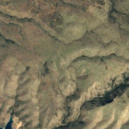
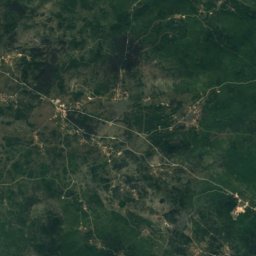
Satellite: Sentinel-2 cloudless 2016 by EOX IT Services GmbH · CC BY 4.0 · Contains modified Copernicus Sentinel data 2016
21 km S

Vela Spila

Cave · 130 m
Vela Spila
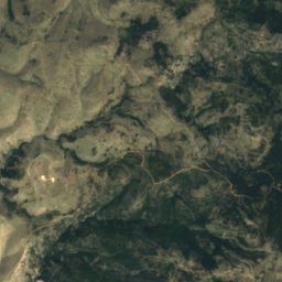
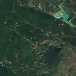
Satellite: Sentinel-2 cloudless 2016 by EOX IT Services GmbH · CC BY 4.0 · Contains modified Copernicus Sentinel data 2016
15 km NW

Drakonjina špilja

Cave
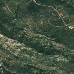
Drakonjina špilja

Mountains

Sveti Jure
Photo: SKas · CC BY-SA 4.0 · Wikimedia CommonsReport this photo · linked, not stored
35 km NE

Sveti Jure

1,762 m · Biokovo
Sveti Jure
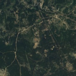
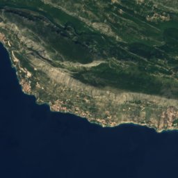
Satellite: Sentinel-2 cloudless 2016 by EOX IT Services GmbH · CC BY 4.0 · Contains modified Copernicus Sentinel data 2016
33 km NE

Vosac

1,421 m
Vosac
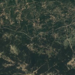
Satellite: Sentinel-2 cloudless 2016 by EOX IT Services GmbH · CC BY 4.0 · Contains modified Copernicus Sentinel data 2016
32 km NE

Bukovac

1,262 m
Bukovac

Heritage

Church of St. Lovre
Photo: Gampe · CC BY-SA 4.0 · Wikimedia CommonsReport this photo · linked, not stored
2.9 km NW

Church of St. Lovre

Register of Cultural Goods of Croatia
Church of St. Lovre
Church of Saint John
Photo: Falk2 · CC BY-SA 4.0 · Wikimedia CommonsReport this photo · linked, not stored
under 100 m E

Church of Saint John

Register of Cultural Goods of Croatia
Church of Saint John
Crkva sv. Mihovila u Jelsi
Photo: Argo Navis · CC BY-SA 4.0 · Wikimedia CommonsReport this photo · linked, not stored
0.3 km NW

Crkva sv. Mihovila u Jelsi

Register of Cultural Goods of Croatia
Crkva sv. Mihovila u Jelsi

Museums

Biankini Palace
Photo: Gampe · CC BY-SA 4.0 · Wikimedia CommonsReport this photo · linked, not stored
8.3 km W

Biankini Palace

1896
Biankini Palace