
Photo: Martinduquea · CC BY-SA 3.0 · Wikimedia Commons
Edificio Pedro A. LópezReport this photo · linked, not stored
Edificio Pedro A. LópezReport this photo · linked, not stored

Photo: Felipe Restrepo Acosta · CC BY-SA 3.0 · Wikimedia Commons
Palacio de San Francisco, BogotáReport this photo · linked, not stored
Palacio de San Francisco, BogotáPalacio de San Francisco, BogotáReport this photo · linked, not stored

Photo: Martinduquea · CC BY-SA 3.0 · Wikimedia Commons
Church of San FranciscoReport this photo · linked, not stored
Church of San FranciscoChurch of San FranciscoReport this photo · linked, not stored

Photo: Felipe Restrepo Acosta · CC BY-SA 3.0 · Wikimedia Commons
Iglesia La TerceraReport this photo · linked, not stored
Iglesia La TerceraIglesia La TerceraReport this photo · linked, not stored

Photo: Felipe Restrepo Acosta · CC BY-SA 3.0 · Wikimedia Commons
Iglesia VeracruzReport this photo · linked, not stored
Iglesia VeracruzIglesia VeracruzReport this photo · linked, not stored
cultural propertyLa Candelaria, Bogota D.C.
Edificio Pedro A. López
National Monuments of Colombia
Typecultural property
Built–
Best monthsJan–Feb · Decweather in La Candelaria
4.60° N, 74.07° WUTC−5 · Colombia Standard Time
When to goLa Candelaria · weather score
Best timeJan–Feb · Dec
October: high / low18° / 10°
iAbout
Edificio Pedro A. López in brief
Edificio Pedro A. López is a cultural property in La Candelaria, Bogota D.C., Colombia.
It holds the designation National Monuments of Colombia.
For a visit, the weather in La Candelaria is best in January, February and December; in October afternoons average 18°.
Facts
- Type
- cultural property
- Designation
- National Monuments of Colombia
- Nearest town
- La Candelaria
- Region
- Bogota D.C.
- Coordinates
- 4.60160, -74.07420
iiLocation
Where to find it
iiiWhen to visit
Climate guideWeather in La Candelaria
Month score for sightseeing
Best Jan–Feb · Dec73
Jan
66
Feb
55
Mar
48
Apr
46
May
48
Jun
51
Jul
55
Aug
54
Sep
52
Oct
53
Nov
59
Dec
ivNearby
All monuments in ColombiaMore heritage close by
Photo: Felipe Restrepo Acosta · CC BY-SA 3.0 · Wikimedia CommonsReport this photo · linked, not stored
Palacio de San Francisco, Bogotá
0.1 km NE
National Monuments of Colombia
Photo: Felipe Restrepo Acosta · CC BY-SA 3.0 · Wikimedia CommonsReport this photo · linked, not stored
Iglesia La Tercera
0.1 km NE
National Monuments of Colombia
Photo: Felipe Restrepo Acosta · CC BY-SA 3.0 · Wikimedia CommonsReport this photo · linked, not stored
Iglesia Veracruz
0.2 km NE
National Monuments of Colombia

Our Lady of the Rosary University
0.2 km SE
National Monuments of Colombia

Photo: Racso (Oscar Fernando Gómez) · CC BY-SA 3.0 · Wikimedia CommonsReport this photo · linked, not stored
Edificio Jockey Club
0.2 km E
National Monuments of Colombia
Around here
La Candelaria and around

Photo: Felipe Ortega Grijalba · CC BY-SA 4.0 · Wikimedia CommonsReport this photo · linked, not stored
La Candelaria
Bogota D.C. · Colombia
Jan–Feb · Decbest months
17°July high
2,662 maltitude
Nature

Photo: Felipe Restrepo Acosta · CC BY-SA 3.0 · Wikimedia CommonsReport this photo · linked, not stored
San Francisco River
River
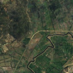
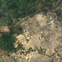
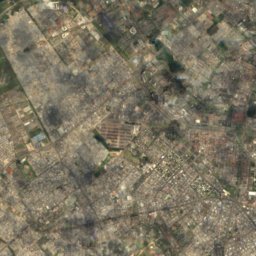
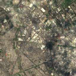
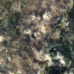
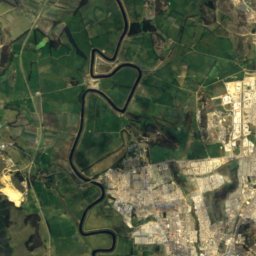
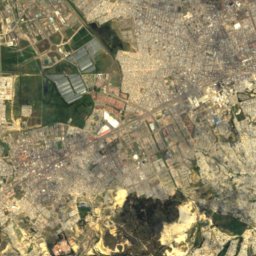
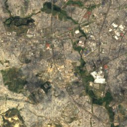
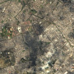
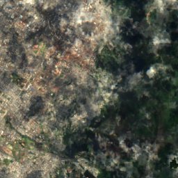
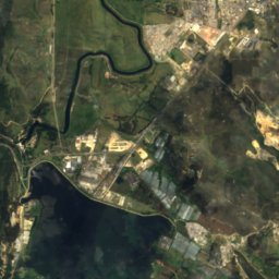
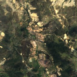
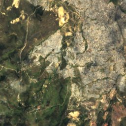
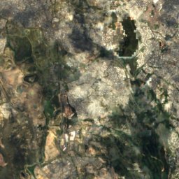
Satellite: Sentinel-2 cloudless 2016 by EOX IT Services GmbH · CC BY 4.0 · Contains modified Copernicus Sentinel data 2016
Quebrada Limas
River

Mountains


Photo: Felipe Restrepo Acosta · CC BY-SA 4.0 · Wikimedia CommonsReport this photo · linked, not stored
Monserrate
3,152 m · Cordillera Oriental
Heritage

Photo: Felipe Restrpo Acosta · CC BY-SA 4.0 · Wikimedia CommonsReport this photo · linked, not stored
Primary Cathedral of Bogotá
National Monuments of Colombia · 1807

Photo: Felipe Restrepo Acosta · CC BY-SA 3.0 · Wikimedia CommonsReport this photo · linked, not stored
General Archive of the Nation of Colombia
National Monuments of Colombia · 1989

Museums

Photo: Felipe Restrepo Acosta · CC BY-SA 3.0 · Wikimedia CommonsReport this photo · linked, not stored
Gold Museum
1968


