
Photo: Shallowell · CC BY-SA 3.0 · Wikimedia Commons
萬安陵, XiaolingweiReport this photo · linked, not stored
萬安陵, XiaolingweiReport this photo · linked, not stored
cultural heritage of ChinaXiaolingwei, Jiangsu
萬安陵, Xiaolingwei
Major Historical and Cultural Site Protected at the National Level
Typecultural heritage of China
Built–
Best monthsApr · Oct–Novweather in Xiaolingwei
31.97° N, 118.88° EUTC+8 · China Standard Time
When to goXiaolingwei · weather score
Best timeApr · Oct–Nov
October: high / low22° / 14°
iAbout
萬安陵, Xiaolingwei in brief
萬安陵, Xiaolingwei is a cultural heritage of china in Xiaolingwei, Jiangsu, China.
It holds the designation Major Historical and Cultural Site Protected at the National Level.
For a visit, the weather in Xiaolingwei is best in April, October and November; in October afternoons average 22°.
Facts
- Type
- cultural heritage of China
- Designation
- Major Historical and Cultural Site Protected at the National Level
- Nearest town
- Xiaolingwei
- Region
- Jiangsu
- Coordinates
- 31.96708, 118.88040
iiLocation
Where to find it
Around here
Xiaolingwei and around

Nature
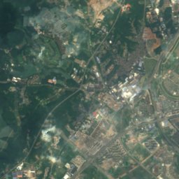
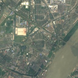
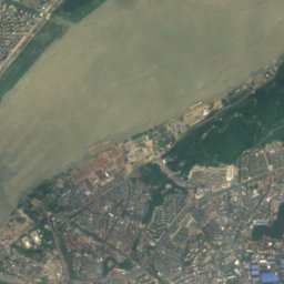
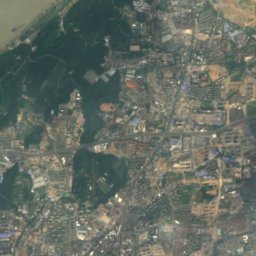
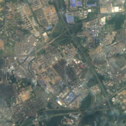
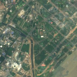
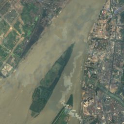
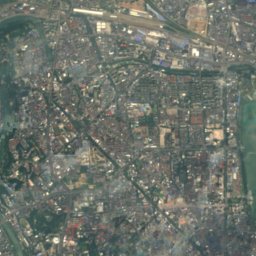
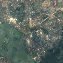
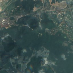
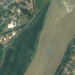
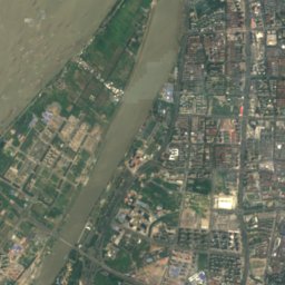
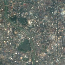
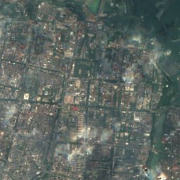
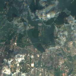
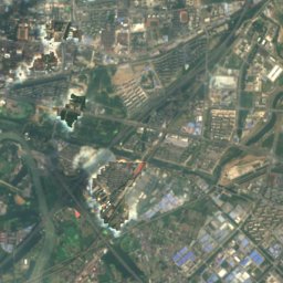
Satellite: Sentinel-2 cloudless 2016 by EOX IT Services GmbH · CC BY 4.0 · Contains modified Copernicus Sentinel data 2016
Xuanwu Lake
Lake · 13 m
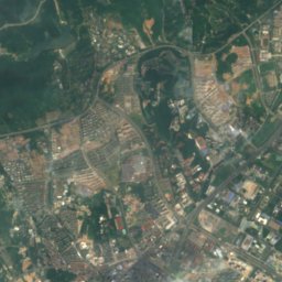
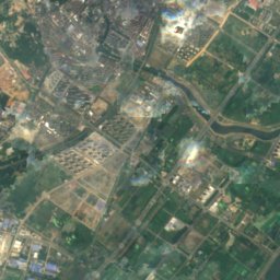
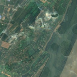
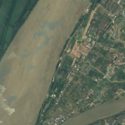
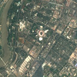
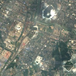
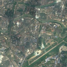
Satellite: Sentinel-2 cloudless 2016 by EOX IT Services GmbH · CC BY 4.0 · Contains modified Copernicus Sentinel data 2016
Mochou Lake, Jiangsu
Lake
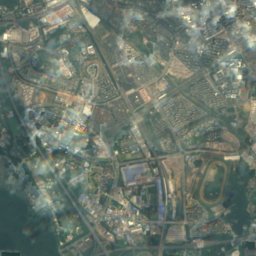
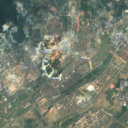
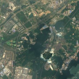
Satellite: Sentinel-2 cloudless 2016 by EOX IT Services GmbH · CC BY 4.0 · Contains modified Copernicus Sentinel data 2016
Yueya Lake (Nanjing)
Lake
Mountains
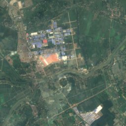
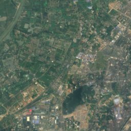
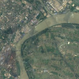
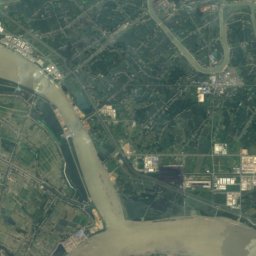
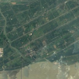
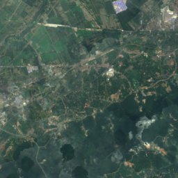
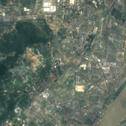
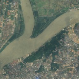
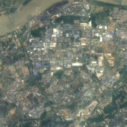
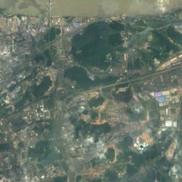
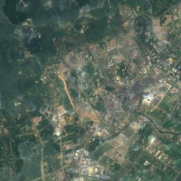
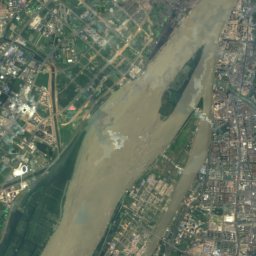
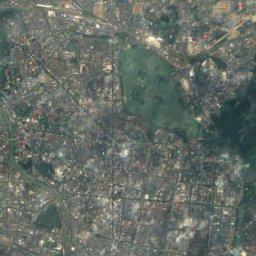
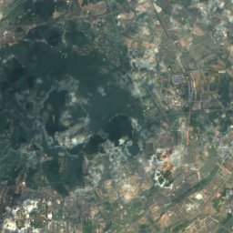
Satellite: Sentinel-2 cloudless 2016 by EOX IT Services GmbH · CC BY 4.0 · Contains modified Copernicus Sentinel data 2016
Purple Mountain
447 m

Heritage

Meiling Palace
Major Historical and Cultural Site Protected at the National Level · 1934

National Revolutionary Army Memorial Cemetery
Major Historical and Cultural Site Protected at the National Level

Central Stadium, Nanjing
Major Historical and Cultural Site Protected at the National Level


