Skip to content
Destinations
Weather & climate
Nature
Outdoors
Culture
Events
Sky & live
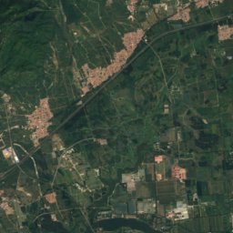
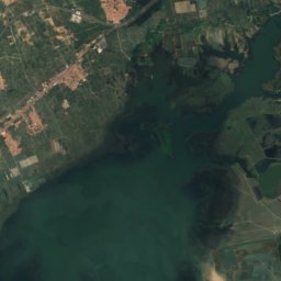
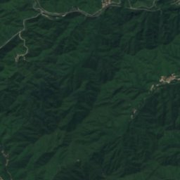
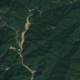
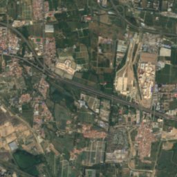
Satellite: Sentinel-2 cloudless 2016 by EOX IT Services GmbH · CC BY 4.0 · Contains modified Copernicus Sentinel data 2016
cultural heritage of ChinaBadaling, Beijing

Badaling

part of UNESCO World Heritage SiteMajor Historical and Cultural Site Protected at the National Level
Typecultural heritage of China
Built–
Best monthsApr–May · Sepweather in Badaling
40.35° N, 116.01° EUTC+8 · China Standard Time
When to goBadaling · weather score
JanFebMarAprMayJunJulAugSepOctNovDec78October
Best timeApr–May · Sep
October: high / low16° / 4°
iAbout

Badaling in brief

Badaling is a cultural heritage of china in Badaling, Beijing, China.

It holds the designations part of UNESCO World Heritage Site and Major Historical and Cultural Site Protected at the National Level.

For a visit, the weather in Badaling is best in April, May and September; in October afternoons average 16°.

Badaling: weather and travel guide

Facts

Type
cultural heritage of China
Designation
part of UNESCO World Heritage Site
Major Historical and Cultural Site Protected at the National Level
Nearest town
Badaling
Region
Beijing
Coordinates
40.35428, 116.00649
iiLocation

Where to find it

iiiWhen to visit

Weather in Badaling

Climate guide

Month score for sightseeing

Best Apr–May · Sep
57
Jan
55
Feb
54
Mar
84
Apr
83
May
58
Jun
50
Jul
61
Aug
78
Sep
78
Oct
53
Nov
57
Dec
Around here

Badaling and around
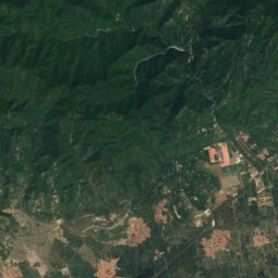
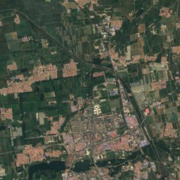
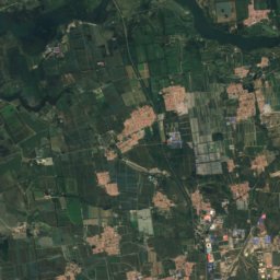
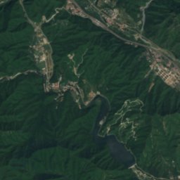
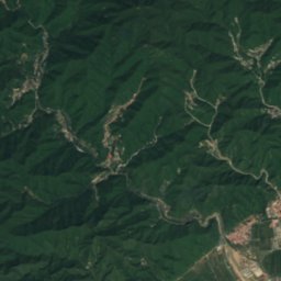
Satellite: Sentinel-2 cloudless 2016 by EOX IT Services GmbH · CC BY 4.0 · Contains modified Copernicus Sentinel data 2016

Badaling

Beijing · China
Apr–May · Sepbest months
28°July high
586 maltitude
Badaling

Nature

Longqing Gorge
Photo: Asadal · CC BY-SA 3.0 · Wikimedia CommonsReport this photo · linked, not stored
21 km N

Longqing Gorge

Lake
Longqing Gorge
Guishui River
Photo: Shizhao · CC BY-SA 4.0 · Wikimedia CommonsReport this photo · linked, not stored
13 km NW

Guishui River

River
Guishui River
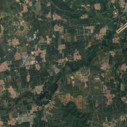
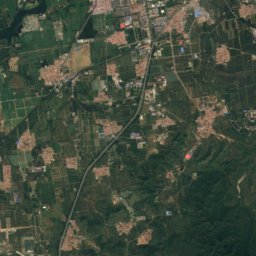
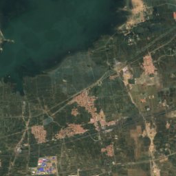
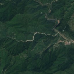
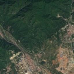
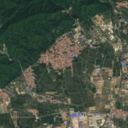
Satellite: Sentinel-2 cloudless 2016 by EOX IT Services GmbH · CC BY 4.0 · Contains modified Copernicus Sentinel data 2016
15 km SE

Xiangtan Shuiku

Lake
Xiangtan Shuiku

Mountains

Mount Haituo
Photo: N509FZ · CC BY-SA 4.0 · Wikimedia CommonsReport this photo · linked, not stored
33 km NW

Mount Haituo

2,241 m · Dama Qunshan
Mount Haituo
Mount Miaofeng
Photo: Shizhao · CC BY-SA 3.0 · Wikimedia CommonsReport this photo · linked, not stored
33 km S

Mount Miaofeng

1,330 m · Western Hills
Mount Miaofeng
Yangtai Mountain
Photo: rheins · CC BY 3.0 · Wikimedia CommonsReport this photo · linked, not stored
32 km S

Yangtai Mountain

1,276 m
Yangtai Mountain

Heritage

Cloud Platform at Juyongguan
Photo: BabelStone · CC BY-SA 3.0 · Wikimedia CommonsReport this photo · linked, not stored
11 km SE

Cloud Platform at Juyongguan

Major Historical and Cultural Site Protected at the National Level
Cloud Platform at Juyongguan

Museums

Great Wall of China Museum
Photo: N509FZ · CC BY-SA 4.0 · Wikimedia CommonsReport this photo · linked, not stored
1.8 km SE

Great Wall of China Museum

Great Wall of China Museum
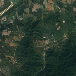
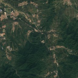
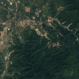
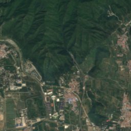
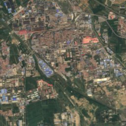
Satellite: Sentinel-2 cloudless 2016 by EOX IT Services GmbH · CC BY 4.0 · Contains modified Copernicus Sentinel data 2016
1.9 km E

Zhan Tianyou Memorial Hall

Zhan Tianyou Memorial Hall