
Photo: Luis Felipe Tapia Yanfka · CC BY-SA 2.0 · Wikimedia Commons
PutaendoReport this photo · linked, not stored
PutaendoReport this photo · linked, not stored

Photo: Carlos Figueroa Rojas · CC BY-SA 4.0 · Wikimedia Commons
Capilla de Lo VicuñaReport this photo · linked, not stored
Capilla de Lo VicuñaCapilla de Lo VicuñaReport this photo · linked, not stored
cultural propertyPutaendo, Valparaiso
Putaendo
Typical Zone (Chile)
Typecultural property
Built–
Best monthsApr · Sep–Octweather in Putaendo
32.63° S, 70.72° WUTC−3 · Chile Summer Time
When to goPutaendo · weather score
Best timeApr · Sep–Oct
October: high / low22° / 10°
iAbout
Putaendo in brief
Putaendo is a cultural property in Putaendo, Valparaiso, Chile.
It holds the designation Typical Zone (Chile).
For a visit, the weather in Putaendo is best in April, September and October; in October afternoons average 22°.
Facts
- Type
- cultural property
- Designation
- Typical Zone (Chile)
- Nearest town
- Putaendo
- Region
- Valparaiso
- Coordinates
- -32.62806, -70.71802
iiLocation
Where to find it
iiiWhen to visit
Climate guideWeather in Putaendo
Month score for sightseeing
Best Apr · Sep–Oct71
Jan
78
Feb
86
Mar
98
Apr
94
May
84
Jun
85
Jul
93
Aug
96
Sep
96
Oct
95
Nov
85
Dec
ivNearby
All monuments in ChileMore heritage close by
Photo: Carlos Figueroa Rojas · CC BY-SA 4.0 · Wikimedia CommonsReport this photo · linked, not stored
Capilla de Lo Vicuña
4.1 km N
Historical Monument of Chile
Around here
Putaendo and around
Photo: Carlos Figueroa Rojas · CC BY-SA 4.0 · Wikimedia CommonsReport this photo · linked, not stored
Putaendo
Valparaiso · Chile
Apr · Sep–Octbest months
16°July high
820 maltitude
Nature

Photo: Patricio Novoa Quezada from Valparaíso, Chile · CC BY 2.0 · Wikimedia CommonsReport this photo · linked, not stored
Putaendo River
River
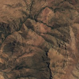
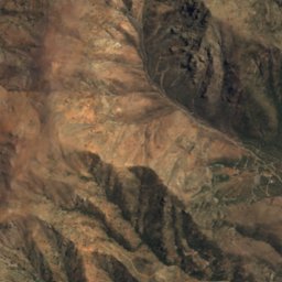
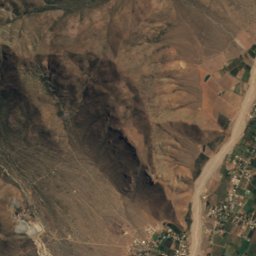
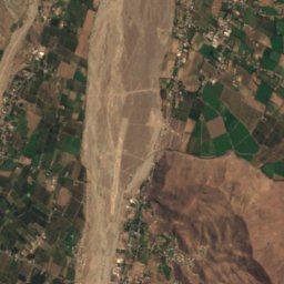
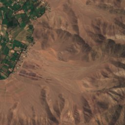
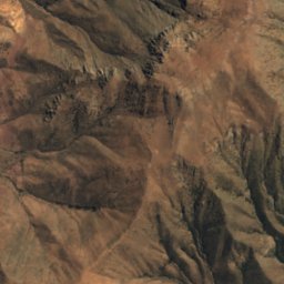
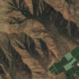
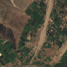
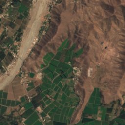
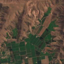
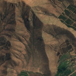
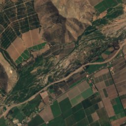
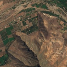
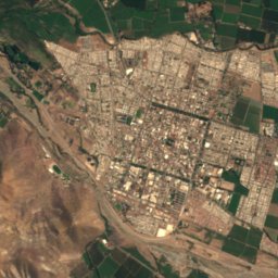
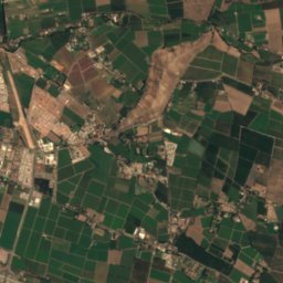
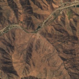
Satellite: Sentinel-2 cloudless 2016 by EOX IT Services GmbH · CC BY 4.0 · Contains modified Copernicus Sentinel data 2016
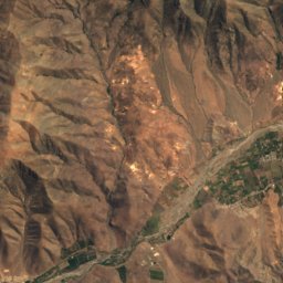
Estero Quilpué, San Felipe
River · 601 m
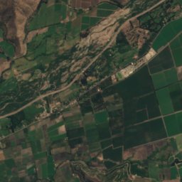
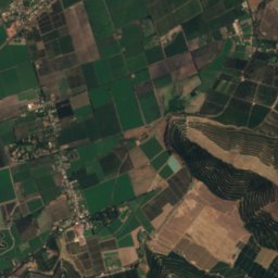
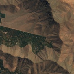
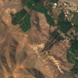
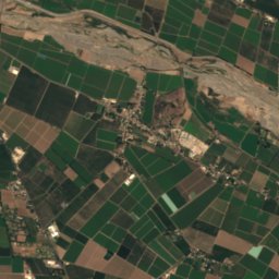
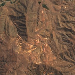
Satellite: Sentinel-2 cloudless 2016 by EOX IT Services GmbH · CC BY 4.0 · Contains modified Copernicus Sentinel data 2016
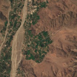
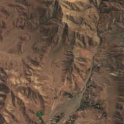
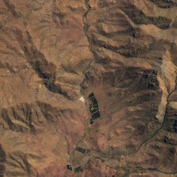
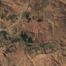
Estero Pocuro
River · 649 m
Mountains
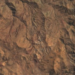
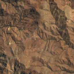
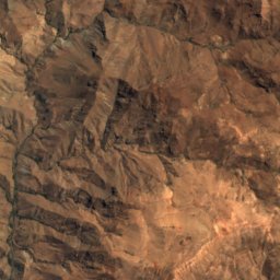
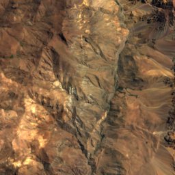
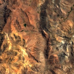
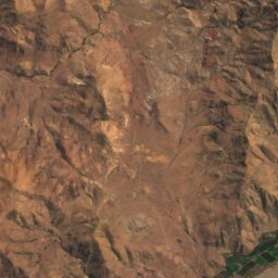
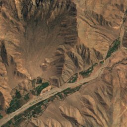
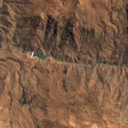
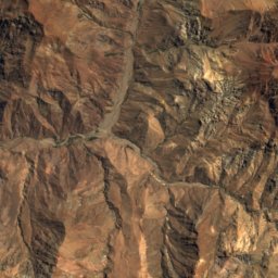
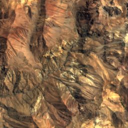
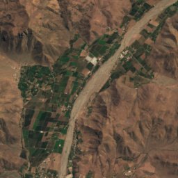
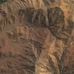
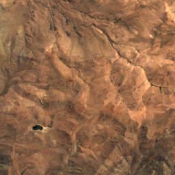
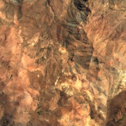
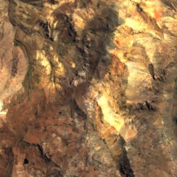
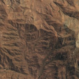
Satellite: Sentinel-2 cloudless 2016 by EOX IT Services GmbH · CC BY 4.0 · Contains modified Copernicus Sentinel data 2016
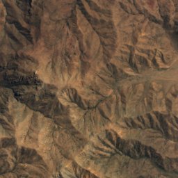
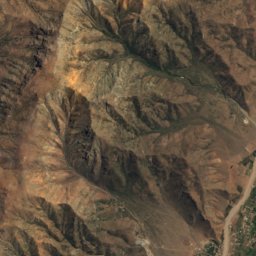
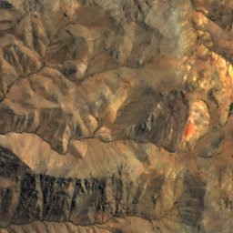
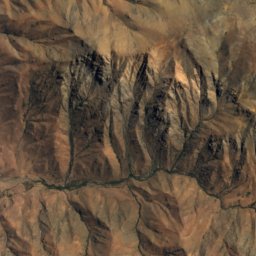
La Caldera
3,159 m
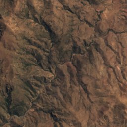
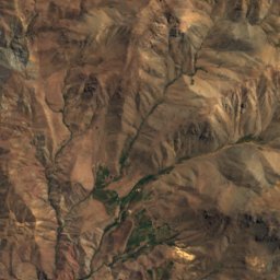
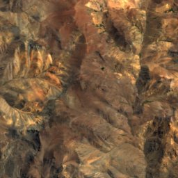
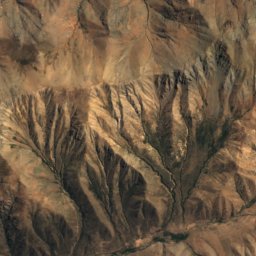
Satellite: Sentinel-2 cloudless 2016 by EOX IT Services GmbH · CC BY 4.0 · Contains modified Copernicus Sentinel data 2016
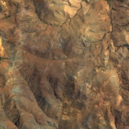
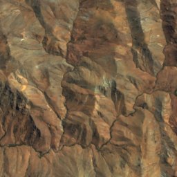
Los Cascajales
2,895 m
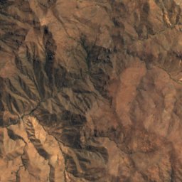
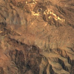
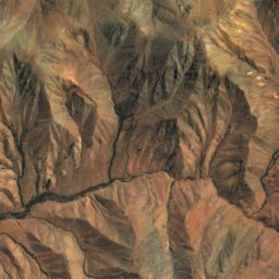
Satellite: Sentinel-2 cloudless 2016 by EOX IT Services GmbH · CC BY 4.0 · Contains modified Copernicus Sentinel data 2016
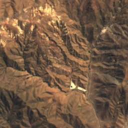
Cerro Lepirco
2,682 m
Heritage

Photo: Carlos Figueroa Rojas · CC BY-SA 4.0 · Wikimedia CommonsReport this photo · linked, not stored
Iglesia del Buen Pastor, San Felipe
Historical Monument of Chile


Photo: Carlos Figueroa Rojas · CC BY-SA 4.0 · Wikimedia CommonsReport this photo · linked, not stored
Iglesia de San Antonio de Padua (El Almendral)
Historical Monument of Chile
Museums

Satellite: Sentinel-2 cloudless 2016 by EOX IT Services GmbH · CC BY 4.0 · Contains modified Copernicus Sentinel data 2016
Salas Museográficas - Corporación Cultural de Putaendo
Archaeological museum · 1905
Satellite: Sentinel-2 cloudless 2016 by EOX IT Services GmbH · CC BY 4.0 · Contains modified Copernicus Sentinel data 2016
Centro Cultural profesor Bernardo Parra Leiva


Satellite: Sentinel-2 cloudless 2016 by EOX IT Services GmbH · CC BY 4.0 · Contains modified Copernicus Sentinel data 2016
Museo de Arte Sacro y Costumbrista Buen Pastor
Art museum