
Photo: Juan Pablo Arenas Godoy · CC BY-SA 3.0 · Wikimedia Commons
Casa de la Cultura Andrés SabellaReport this photo · linked, not stored
Casa de la Cultura Andrés SabellaReport this photo · linked, not stored

Photo: Juan Pablo Arenas Godoy · CC BY-SA 3.0 · Wikimedia Commons
Teatro Pedro de la BarraReport this photo · linked, not stored
Teatro Pedro de la BarraTeatro Pedro de la BarraReport this photo · linked, not stored

Photo: Juan Pablo Arenas Godoy · CC BY-SA 3.0 · Wikimedia Commons
Cuartel General de Bomberos de AntofagastaReport this photo · linked, not stored
Cuartel General de Bomberos de AntofagastaCuartel General de Bomberos de AntofagastaReport this photo · linked, not stored

Photo: Juan Pablo Arenas Godoy · CC BY-SA 3.0 · Wikimedia Commons
Edificio del Banco Mercantil de BoliviaReport this photo · linked, not stored
Edificio del Banco Mercantil de BoliviaEdificio del Banco Mercantil de BoliviaReport this photo · linked, not stored

Photo: Municipalidad Antofagasta from Antofagasta, Chile · CC BY 2.0 · Wikimedia Commons
Antofagasta train station FCABReport this photo · linked, not stored
Antofagasta train station FCABAntofagasta train station FCABReport this photo · linked, not stored
cultural centerAntofagasta, Antofagasta
Casa de la Cultura Andrés Sabella
Historical Monument of Chilenational monument of Chile
Typecultural centerNeoclassical
Built–
Best monthsJan · Mar–Aprweather in Antofagasta
23.65° S, 70.40° WUTC−3 · Chile Summer Time
When to goAntofagasta · weather score
Best timeJan · Mar–Apr
October: high / low18° / 12°
iAbout
Casa de la Cultura Andrés Sabella in brief
Casa de la Cultura Andrés Sabella is a cultural center in Antofagasta, Chile.
It holds the designations Historical Monument of Chile and national monument of Chile.
The cultural center is built in the Neoclassical style.
For a visit, the weather in Antofagasta is best in January, March and April; in October afternoons average 18°.
Facts
- Type
- cultural center
- Designation
- Historical Monument of Chile
- national monument of Chile
- Style
- Neoclassical
- Nearest town
- Antofagasta
- Region
- Antofagasta
- Coordinates
- -23.64833, -70.39778
iiLocation
Where to find it
ivNearby
All monuments in ChileMore heritage close by

Photo: Juan Pablo Arenas Godoy · CC BY-SA 3.0 · Wikimedia CommonsReport this photo · linked, not stored
Teatro Pedro de la Barra
0.1 km S
Historical Monument of Chile
Photo: Juan Pablo Arenas Godoy · CC BY-SA 3.0 · Wikimedia CommonsReport this photo · linked, not stored
Cuartel General de Bomberos de Antofagasta
0.2 km NE
Historical Monument of Chile
Photo: Juan Pablo Arenas Godoy · CC BY-SA 3.0 · Wikimedia CommonsReport this photo · linked, not stored
Edificio del Banco Mercantil de Bolivia
0.4 km N
Historical Monument of Chile
Photo: Municipalidad Antofagasta from Antofagasta, Chile · CC BY 2.0 · Wikimedia CommonsReport this photo · linked, not stored
Antofagasta train station FCAB
0.5 km N
Historical Monument of Chile

Biblioteca Regional de Antofagasta
0.5 km N
Historical Monument of Chile



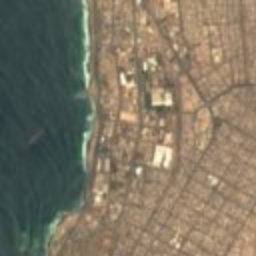


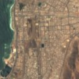


Satellite: Sentinel-2 cloudless 2016 by EOX IT Services GmbH · CC BY 4.0 · Contains modified Copernicus Sentinel data 2016
Barrio Histórico de Antofagasta
0.5 km N
Typical Zone (Chile)
Around here
Antofagasta and around
Nature



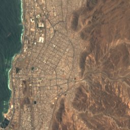


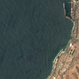
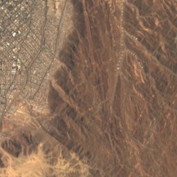


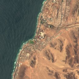
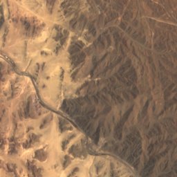
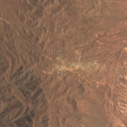
Satellite: Sentinel-2 cloudless 2016 by EOX IT Services GmbH · CC BY 4.0 · Contains modified Copernicus Sentinel data 2016
Playa Blanca, Antofagasta
Beach · 9 m




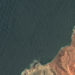
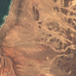
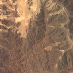
Satellite: Sentinel-2 cloudless 2016 by EOX IT Services GmbH · CC BY 4.0 · Contains modified Copernicus Sentinel data 2016
Playa Brava, Antofagasta
Beach · 6 m
Heritage








Satellite: Sentinel-2 cloudless 2016 by EOX IT Services GmbH · CC BY 4.0 · Contains modified Copernicus Sentinel data 2016
Biblioteca Regional de Antofagasta
Historical Monument of Chile
Photo: Juan Pablo Arenas Godoy · CC BY-SA 3.0 · Wikimedia CommonsReport this photo · linked, not stored
Teatro Pedro de la Barra
Historical Monument of Chile
Photo: Juan Pablo Arenas Godoy · CC BY-SA 3.0 · Wikimedia CommonsReport this photo · linked, not stored
Cuartel General de Bomberos de Antofagasta
Historical Monument of Chile
Museums

Photo: Municipalidad de Antofagasta · CC BY 2.0 · Wikimedia CommonsReport this photo · linked, not stored
Museo Regional de Antofagasta
Natural history museum · 1905


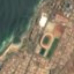





Satellite: Sentinel-2 cloudless 2016 by EOX IT Services GmbH · CC BY 4.0 · Contains modified Copernicus Sentinel data 2016
Professor Humberto Fuenzalida Geological Museum
Satellite: Sentinel-2 cloudless 2016 by EOX IT Services GmbH · CC BY 4.0 · Contains modified Copernicus Sentinel data 2016
Museo Geológico Profesor Humberto Fuenzalida Villegas
Natural history museum · 1905