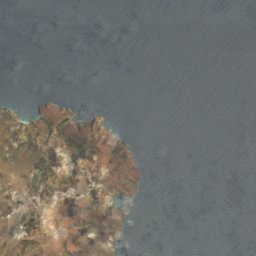
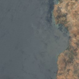
Photo: Gagum from Lisbon, Portugal · CC BY 2.0 · Wikimedia Commons
Tarrafal campReport this photo · linked, not stored
Tarrafal campReport this photo · linked, not stored
concentration campChão Bom, Tarrafal
Tarrafal camp
Tentative World Heritage SiteHeritage of Portuguese InfluenceBuilt 1936
Typeconcentration camp
Built1936
Best monthsMar–Mayweather in Chão Bom
15.26° N, 23.74° WUTC−1 · Cape Verde Standard Time
Standing for90 years
built 1936today 2026
When to goChão Bom · weather score
Best timeMar–May
October: high / low26° / 25°
iAbout
Tarrafal camp in brief
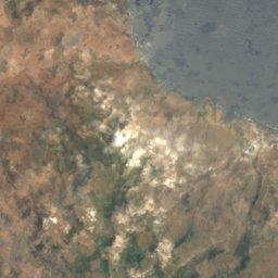
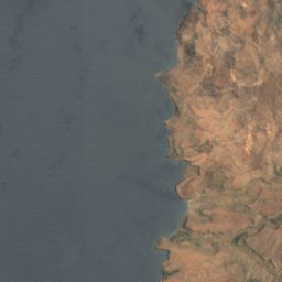
Tarrafal camp is a concentration camp in Chão Bom, Tarrafal, Cape Verde. Portuguese concentration camp.
It holds the designations Tentative World Heritage Site and Heritage of Portuguese Influence.
The concentration camp dates from 1936.
For a visit, the weather in Chão Bom is best in March, April and May; in October afternoons average 26°.
iiLocation
Where to find it
iiiWhen to visit
Climate guideWeather in Chão Bom
Month score for sightseeing
Best Mar–May95
Jan
95
Feb
99
Mar
100
Apr
100
May
98
Jun
95
Jul
67
Aug
59
Sep
80
Oct
87
Nov
88
Dec
Around here
Chão Bom and around

Photo: Gagum from Lisbon, Portugal · CC BY 2.0 · Wikimedia CommonsReport this photo · linked, not stored
Chão Bom
Tarrafal · Cape Verde
Mar–Maybest months
25°July high
260 maltitude