










Satellite: Sentinel-2 cloudless 2016 by EOX IT Services GmbH · CC BY 4.0 · Contains modified Copernicus Sentinel data 2016

Photo: Architectsea · CC BY-SA 3.0 · Wikimedia Commons
Victoria High SchoolReport this photo · linked, not stored
Victoria High SchoolVictoria High SchoolReport this photo · linked, not stored

Photo: Michal Klajban · CC BY-SA 4.0 · Wikimedia Commons
Craigdarroch CastleReport this photo · linked, not stored
Craigdarroch CastleCraigdarroch CastleReport this photo · linked, not stored

Photo: Andrew (Tawker) · CC BY 2.5 · Wikimedia Commons
Government House, VictoriaReport this photo · linked, not stored
Government House, VictoriaGovernment House, VictoriaReport this photo · linked, not stored

Photo: Michal Klajban · CC BY-SA 4.0 · Wikimedia Commons
Bay Street ArmouryReport this photo · linked, not stored
Bay Street ArmouryBay Street ArmouryReport this photo · linked, not stored
historic districtOak Bay, British Columbia
Uplands
national historic site of Canada
Typehistoric district
Built–
Best monthsJun–Augweather in Oak Bay
48.45° N, 123.31° WUTC−7 · Pacific Daylight Time
When to goOak Bay · weather score
Best timeJun–Aug
October: high / low14° / 7°
iAbout
Uplands in brief
Uplands is a historic district in Oak Bay, British Columbia, Canada.
It holds the designation national historic site of Canada.
For a visit, the weather in Oak Bay is best in June, July and August; in October afternoons average 14°.
Facts
- Type
- historic district
- Designation
- national historic site of Canada
- Nearest town
- Oak Bay
- Region
- British Columbia
- Coordinates
- 48.44850, -123.30510
iiLocation
Where to find it
iiiWhen to visit
Climate guideWeather in Oak Bay
Month score for sightseeing
Best Jun–Aug16
Jan
18
Feb
23
Mar
38
Apr
65
May
76
Jun
90
Jul
88
Aug
76
Sep
42
Oct
17
Nov
16
Dec
ivNearby
All monuments in CanadaMore heritage close by
Satellite: Sentinel-2 cloudless 2016 by EOX IT Services GmbH · CC BY 4.0 · Contains modified Copernicus Sentinel data 2016
Pemberton Memorial Operating Room
2.4 km SW
national historic site of Canada
Satellite: Sentinel-2 cloudless 2016 by EOX IT Services GmbH · CC BY 4.0 · Contains modified Copernicus Sentinel data 2016
Fairholme Manor Bed and Breakfast
4.1 km SW
heritage designation
Government House, Victoria
4.3 km SW
listed in a community heritage register
Around here
Oak Bay and around
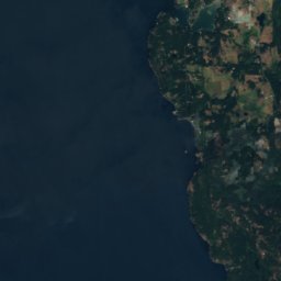
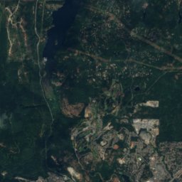
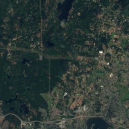
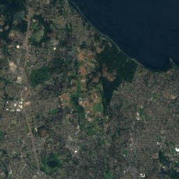

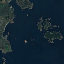

Nature


Mountains
Satellite: Sentinel-2 cloudless 2016 by EOX IT Services GmbH · CC BY 4.0 · Contains modified Copernicus Sentinel data 2016
Mount Work
449 m · Gowlland Range




Satellite: Sentinel-2 cloudless 2016 by EOX IT Services GmbH · CC BY 4.0 · Contains modified Copernicus Sentinel data 2016
Mount Warburton Pike
401 m
Heritage
Satellite: Sentinel-2 cloudless 2016 by EOX IT Services GmbH · CC BY 4.0 · Contains modified Copernicus Sentinel data 2016
Pemberton Memorial Operating Room
national historic site of Canada

British Columbia Parliament Buildings
listed in a community heritage register · 1897

Victoria City Hall, British Columbia
national historic site of Canada · 1890
Museums


Photo: Hans-Jürgen Hübner / Hans-Jürgen Hübner · Public domain · Wikimedia CommonsReport this photo · linked, not stored
Helmcken House
Historic house museum


