
Photo: Adlwlyaenr64 at English Wikipedia · Public domain · Wikimedia Commons
TiltingReport this photo · linked, not stored
TiltingReport this photo · linked, not stored
human settlementTilting, Newfoundland and Labrador
Tilting
national historic site of CanadaRegistered Heritage District
Typehuman settlement
Built–
Best monthsJul–Sepweather in Tilting
49.70° N, 54.07° WUTC−2:30 · Newfoundland Daylight Time
When to goTilting · weather score
Best timeJul–Sep
October: high / low9° / 6°
iAbout
Tilting in brief
Tilting is a human settlement in Tilting, Newfoundland and Labrador, Canada.
It holds the designations national historic site of Canada and Registered Heritage District.
For a visit, the weather in Tilting is best in July, August and September; in October afternoons average 9°.
Facts
- Type
- human settlement
- Designation
- national historic site of Canada
- Registered Heritage District
- Nearest town
- Tilting
- Region
- Newfoundland and Labrador
- Coordinates
- 49.70000, -54.06667
iiLocation
Where to find it
iiiWhen to visit
Climate guideWeather in Tilting
Month score for sightseeing
Best Jul–Sep11
Jan
13
Feb
15
Mar
19
Apr
16
May
17
Jun
40
Jul
52
Aug
38
Sep
19
Oct
15
Nov
11
Dec
Around here
Tilting and around
Photo: Adlwlyaenr64 at English Wikipedia · Public domain · Wikimedia CommonsReport this photo · linked, not stored
Tilting
Newfoundland and Labrador · Canada
Jul–Sepbest months
14°July high
9 maltitude
Nature
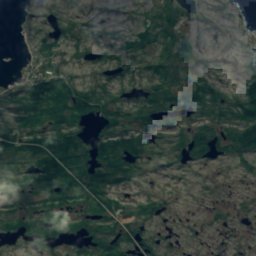
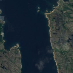
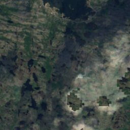
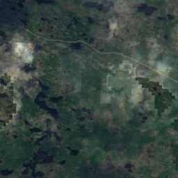
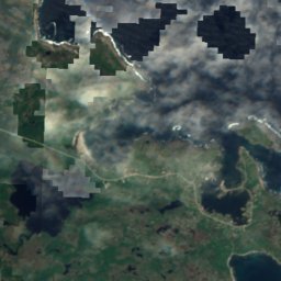
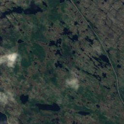
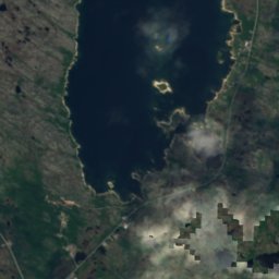
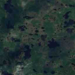
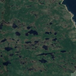
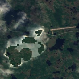
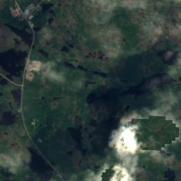
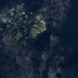
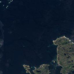
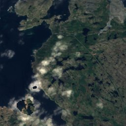
Satellite: Sentinel-2 cloudless 2016 by EOX IT Services GmbH · CC BY 4.0 · Contains modified Copernicus Sentinel data 2016
Cooks Pond
Lake
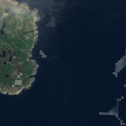
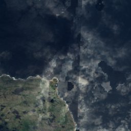
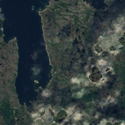
Satellite: Sentinel-2 cloudless 2016 by EOX IT Services GmbH · CC BY 4.0 · Contains modified Copernicus Sentinel data 2016
Blowing Hole
Cave
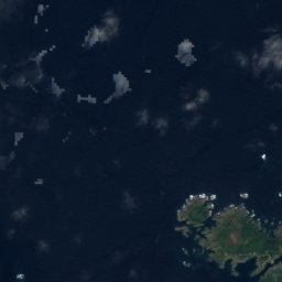
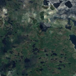
Satellite: Sentinel-2 cloudless 2016 by EOX IT Services GmbH · CC BY 4.0 · Contains modified Copernicus Sentinel data 2016
Jim O'Keefes Steady
Lake
Mountains

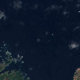
Satellite: Sentinel-2 cloudless 2016 by EOX IT Services GmbH · CC BY 4.0 · Contains modified Copernicus Sentinel data 2016
Lane's Lookout
89 m
Museums



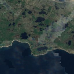
Satellite: Sentinel-2 cloudless 2016 by EOX IT Services GmbH · CC BY 4.0 · Contains modified Copernicus Sentinel data 2016
Museum of the Flat Earth
2016