
Photo: Darren Kirby from Edmonton, AB, Canada · CC BY-SA 2.0 · Wikimedia Commons
SicamousReport this photo · linked, not stored
SicamousReport this photo · linked, not stored
 Naramata
paddle steamerPenticton, British Columbia
Sicamous
heritage designation
Typepaddle steamer
Built–
Best monthsMay · Jul · Sepweather in Penticton
49.50° N, 119.61° WUTC−7 · Pacific Daylight Time
When to goPenticton · weather score
Best timeMay · Jul · Sep
October: high / low15° / 6°
iAbout
Sicamous in brief
Sicamous is a paddle steamer in Penticton, British Columbia, Canada.
It holds the designation heritage designation.
For a visit, the weather in Penticton is best in May, July and September; in October afternoons average 15°.
Facts
- Type
- paddle steamer
- Designation
- heritage designation
- Nearest town
- Penticton
- Region
- British Columbia
- Coordinates
- 49.50187, -119.61096
iiLocation
Where to find it
ivNearby
All monuments in CanadaMore heritage close by
Around here
Penticton and around

Photo: Original uploader was Fawcett5 at en.wikipedia Later version(s) were uploaded by · Public domain · Wikimedia CommonsReport this photo · linked, not stored
Penticton
British Columbia · Canada
May · Jul · Sepbest months
30°July high
357 maltitude
Nature

Photo: Fawcett5 at English Wikipedia · Public domain · Wikimedia CommonsReport this photo · linked, not stored
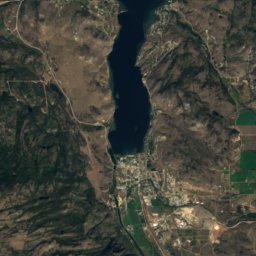
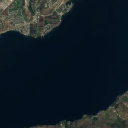
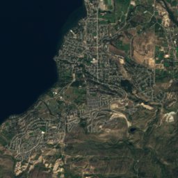
Skaha Lake
Lake · 339 m

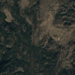
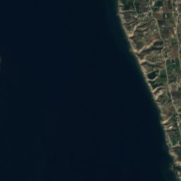
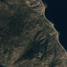

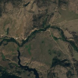
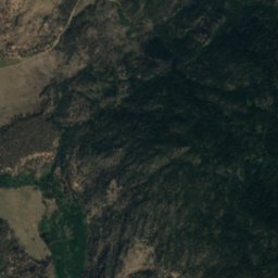
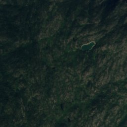
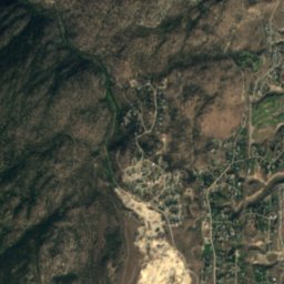
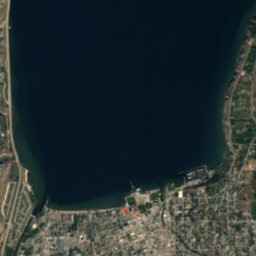
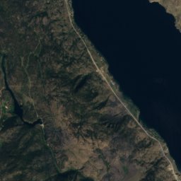
Satellite: Sentinel-2 cloudless 2016 by EOX IT Services GmbH · CC BY 4.0 · Contains modified Copernicus Sentinel data 2016
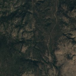
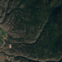
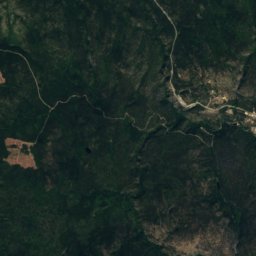
Madeline Lake, Penticton
Lake
Mountains
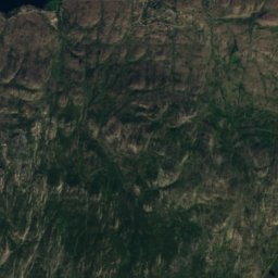
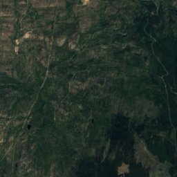
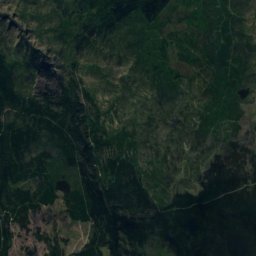
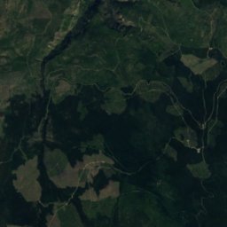
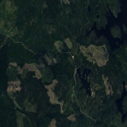
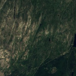
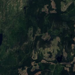
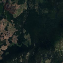
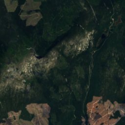
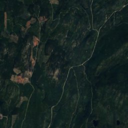
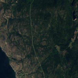
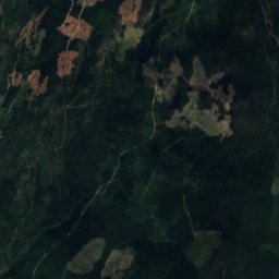
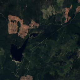
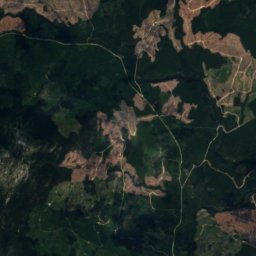
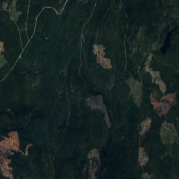
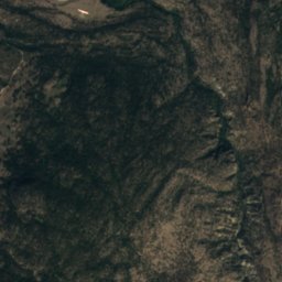
Satellite: Sentinel-2 cloudless 2016 by EOX IT Services GmbH · CC BY 4.0 · Contains modified Copernicus Sentinel data 2016
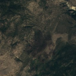
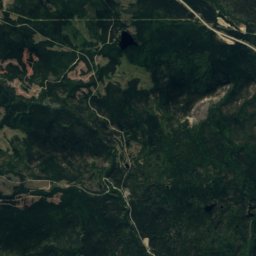
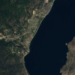
Little White Mountain
2,169 m
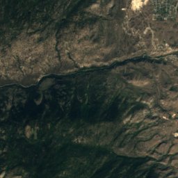
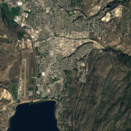
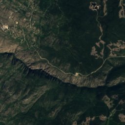
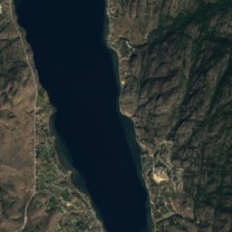
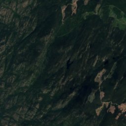
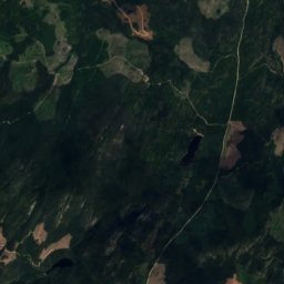
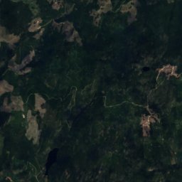
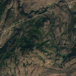
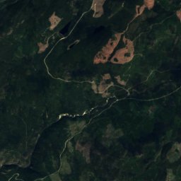
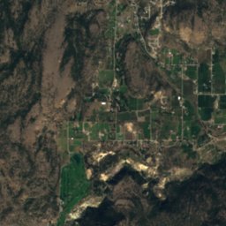
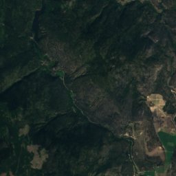
Satellite: Sentinel-2 cloudless 2016 by EOX IT Services GmbH · CC BY 4.0 · Contains modified Copernicus Sentinel data 2016
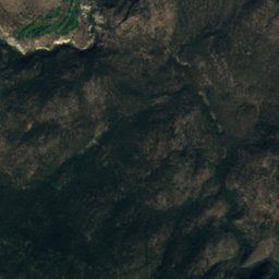
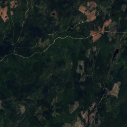
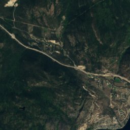
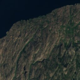
Mount Christie
1,913 m
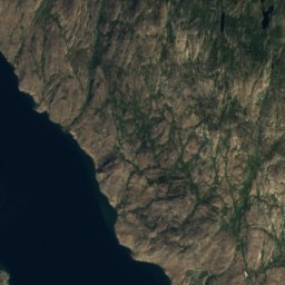


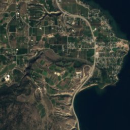
Satellite: Sentinel-2 cloudless 2016 by EOX IT Services GmbH · CC BY 4.0 · Contains modified Copernicus Sentinel data 2016
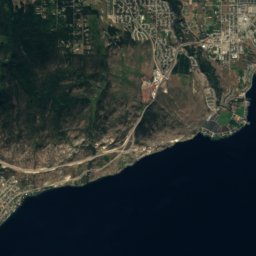
Okanagan Mountain
1,576 m