
Photo: Martin St-Amant · CC BY-SA 3.0 · Wikimedia Commons
Quebec BridgeReport this photo · linked, not stored
Quebec BridgeReport this photo · linked, not stored

Photo: Fralambert · CC BY-SA 4.0 · Wikimedia Commons
Fort Charlesbourg RoyalReport this photo · linked, not stored
Fort Charlesbourg RoyalFort Charlesbourg RoyalReport this photo · linked, not stored

Photo: Jeangagnon · CC BY-SA 3.0 · Wikimedia Commons
St. Michel de Sillery ChurchReport this photo · linked, not stored
St. Michel de Sillery ChurchSt. Michel de Sillery ChurchReport this photo · linked, not stored

Photo: Malimage · CC BY-SA 3.0 · Wikimedia Commons
Sillery Heritage SiteReport this photo · linked, not stored
Sillery Heritage SiteSillery Heritage SiteReport this photo · linked, not stored

Photo: Gilles Y. Hamel · CC BY-SA 3.0 · Wikimedia Commons
Mount Hermon CemeteryReport this photo · linked, not stored
Mount Hermon CemeteryMount Hermon CemeteryReport this photo · linked, not stored
tram bridgeSaint Romuald, Quebec
Quebec Bridge
Historic Civil Engineering Landmarkinventoried in the Quebec Cultural Heritage DirectoryBuilt 1918
Typetram bridge
Built1918by Theodore Cooper
Best monthsJul–Sepweather in Saint Romuald
46.75° N, 71.29° WUTC−4 · Eastern Daylight Time
Standing for108 years
built 1918today 2026
When to goSaint Romuald · weather score
Best timeJul–Sep
October: high / low12° / 4°
iAbout
Quebec Bridge in brief
Quebec Bridge is a tram bridge in Saint Romuald, Quebec, Canada.
It holds the designations Historic Civil Engineering Landmark, inventoried in the Quebec Cultural Heritage Directory and national historic site of Canada.
The tram bridge dates from 1918 and was designed by Theodore Cooper.
For a visit, the weather in Saint Romuald is best in July, August and September; in October afternoons average 12°.
Facts
- Type
- tram bridge
- Designation
- Historic Civil Engineering Landmark
- inventoried in the Quebec Cultural Heritage Directory
- national historic site of Canada
- Built
- 1918
- Architect
- Theodore Cooper
- Nearest town
- Saint Romuald
- Region
- Quebec
- Coordinates
- 46.74556, -71.28806
iiLocation
Where to find it
iiiWhen to visit
Climate guideWeather in Saint Romuald
Month score for sightseeing
Best Jul–Sep26
Jan
24
Feb
23
Mar
22
Apr
63
May
63
Jun
65
Jul
65
Aug
73
Sep
32
Oct
17
Nov
18
Dec
ivNearby
All monuments in CanadaMore heritage close by

Around here
Saint Romuald and around

Nature


Photo: The Shadow Knows at French Wikipedia · Public domain · Wikimedia CommonsReport this photo · linked, not stored
Rivière Etchemin
River

Mountains
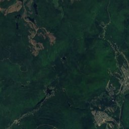
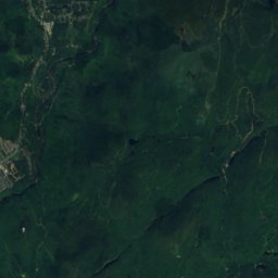
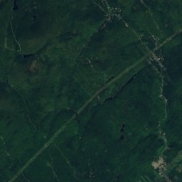
Satellite: Sentinel-2 cloudless 2016 by EOX IT Services GmbH · CC BY 4.0 · Contains modified Copernicus Sentinel data 2016
Montagne à Deux Têtes
624 m


Heritage
St. Michel de Sillery Church
part of a Quebec heritage property · 1852


