
Photo: David P Janes · CC BY-SA 3.0 · Wikimedia Commons
Murray PremisesReport this photo · linked, not stored
Murray PremisesReport this photo · linked, not stored

Photo: Paul from Hacketts Cove, Canada · CC BY-SA 4.0 · Wikimedia Commons
Basilica of St. John the BaptistReport this photo · linked, not stored
Basilica of St. John the BaptistBasilica of St. John the BaptistReport this photo · linked, not stored

Photo: Dpjanes · CC BY-SA 3.0 · Wikimedia Commons
St. John's Ecclesiastical DistrictReport this photo · linked, not stored
St. John's Ecclesiastical DistrictSt. John's Ecclesiastical DistrictReport this photo · linked, not stored

Photo: User:HJKeats · Public domain · Wikimedia Commons
Masonic Temple, St. John'sReport this photo · linked, not stored
Masonic Temple, St. John'sMasonic Temple, St. John'sReport this photo · linked, not stored
warehouseSt. John's, Newfoundland and Labrador
Murray Premises
national historic site of CanadaCity of St. John's heritage site
Typewarehouse
Built–
Best monthsJul–Sepweather in St. John's
47.57° N, 52.71° WUTC−2:30 · Newfoundland Daylight Time
When to goSt. John's · weather score
Best timeJul–Sep
October: high / low11° / 7°
iAbout
Murray Premises in brief
Murray Premises is a warehouse in St. John's, Newfoundland and Labrador, Canada.
It holds the designations national historic site of Canada and City of St. John's heritage site.
For a visit, the weather in St. John's is best in July, August and September; in October afternoons average 11°.
Facts
- Type
- warehouse
- Designation
- national historic site of Canada
- City of St. John's heritage site
- Nearest town
- St. John's
- Region
- Newfoundland and Labrador
- Coordinates
- 47.56880, -52.70820
iiLocation
Where to find it
ivNearby
All monuments in CanadaMore heritage close by




Satellite: Sentinel-2 cloudless 2016 by EOX IT Services GmbH · CC BY 4.0 · Contains modified Copernicus Sentinel data 2016
Bishop Feild College
0.2 km NE
registered heritage structure
Photo: Paul from Hacketts Cove, Canada · CC BY-SA 4.0 · Wikimedia CommonsReport this photo · linked, not stored
Basilica of St. John the Baptist
0.2 km SW
national historic site of Canada
Satellite: Sentinel-2 cloudless 2016 by EOX IT Services GmbH · CC BY 4.0 · Contains modified Copernicus Sentinel data 2016
Colonial Building
0.3 km NE
provincial historic site
St. John's Ecclesiastical District
0.3 km SW
national historic site of Canada

Satellite: Sentinel-2 cloudless 2016 by EOX IT Services GmbH · CC BY 4.0 · Contains modified Copernicus Sentinel data 2016
LSPU Hall
0.3 km SE
registered heritage structure
Around here
St. John's and around

Nature
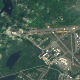
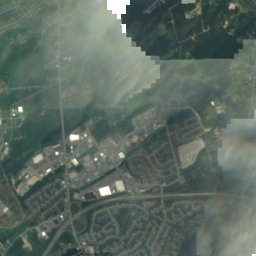
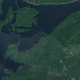
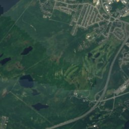
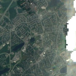

Satellite: Sentinel-2 cloudless 2016 by EOX IT Services GmbH · CC BY 4.0 · Contains modified Copernicus Sentinel data 2016
Quidi Vidi Lake, Newfoundland and Labrador
Lake · 17 m
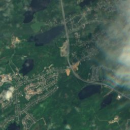

Satellite: Sentinel-2 cloudless 2016 by EOX IT Services GmbH · CC BY 4.0 · Contains modified Copernicus Sentinel data 2016
Virginia Lake, Newfoundland and Labrador
Lake
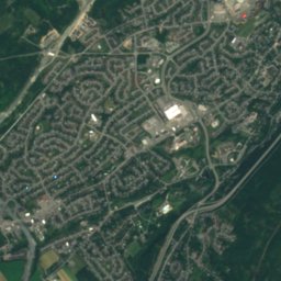
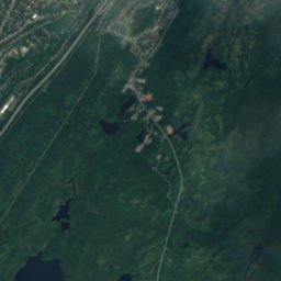
Satellite: Sentinel-2 cloudless 2016 by EOX IT Services GmbH · CC BY 4.0 · Contains modified Copernicus Sentinel data 2016
Sheep Pen Gully
Lake
Mountains



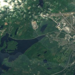

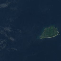
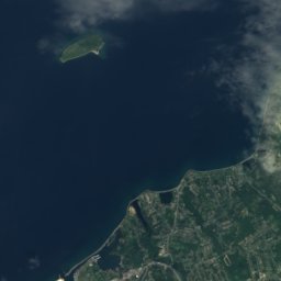
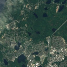
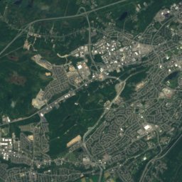
Satellite: Sentinel-2 cloudless 2016 by EOX IT Services GmbH · CC BY 4.0 · Contains modified Copernicus Sentinel data 2016
Mother Allans Rock
170 m
Heritage
Photo: Paul from Hacketts Cove, Canada · CC BY-SA 4.0 · Wikimedia CommonsReport this photo · linked, not stored
Basilica of St. John the Baptist
national historic site of Canada · 1850

Bank of British North America Building
national historic site of Canada · 1835


