
Photo: Bernard Gagnon · CC BY-SA 3.0 · Wikimedia Commons
Lévis FortsReport this photo · linked, not stored
Lévis FortsReport this photo · linked, not stored

Photo: Bernard Gagnon · CC BY-SA 3.0 · Wikimedia Commons
Lévis intermodal stationReport this photo · linked, not stored
Lévis intermodal stationLévis intermodal stationReport this photo · linked, not stored

Photo: Claude Gagnon · CC BY-SA 3.0 · Wikimedia Commons
Musée de la civilisationReport this photo · linked, not stored
Musée de la civilisationMusée de la civilisationReport this photo · linked, not stored

Photo: Jeangagnon · CC BY-SA 3.0 · Wikimedia Commons
Habitation de QuébecReport this photo · linked, not stored
Habitation de QuébecHabitation de QuébecReport this photo · linked, not stored

Photo: Wilfredor · CC0 · Wikimedia Commons
Church of Our Lady of Victories, Quebec CityReport this photo · linked, not stored
Church of Our Lady of Victories, Quebec CityChurch of Our Lady of Victories, Quebec CityReport this photo · linked, not stored
military museumLévis, Quebec
Lévis Forts
national historic site of CanadaBuilt 1865
Typemilitary museum
Built1865
Best monthsJul–Sepweather in Lévis
46.81° N, 71.16° WUTC−4 · Eastern Daylight Time
Standing for161 years
built 1865today 2026
When to goLévis · weather score
Best timeJul–Sep
October: high / low11° / 3°
iAbout
Lévis Forts in brief
Lévis Forts is a military museum in Lévis, Quebec, Canada.
It holds the designation national historic site of Canada.
The military museum dates from 1865.
For a visit, the weather in Lévis is best in July, August and September; in October afternoons average 11°.
iiLocation
Where to find it
ivNearby
All monuments in CanadaMore heritage close by
Church of Our Lady of Victories, Quebec City
3.4 km W
part of a Quebec heritage property


Around here
Lévis and around

Nature

Photo: Jean-Christophe BENOIST · CC BY 4.0 · Wikimedia CommonsReport this photo · linked, not stored
Montmorency Falls
Waterfall

Photo: Share Bear (dmahalin@gmail.com) · Public domain · Wikimedia CommonsReport this photo · linked, not stored
Rivière Montmorency
River

Photo: The Shadow Knows at French Wikipedia · Public domain · Wikimedia CommonsReport this photo · linked, not stored
Rivière Etchemin
River
Mountains

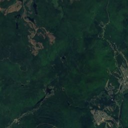
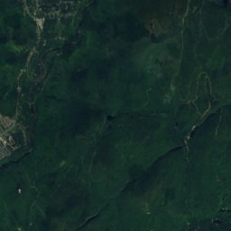
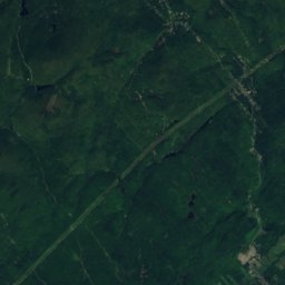
Satellite: Sentinel-2 cloudless 2016 by EOX IT Services GmbH · CC BY 4.0 · Contains modified Copernicus Sentinel data 2016
Montagne à Deux Têtes
624 m

Heritage


Photo: Pierre-Olivier Fortin · CC BY-SA 3.0 · Wikimedia CommonsReport this photo · linked, not stored
Notre-Dame Basilica-Cathedral
national historic site of Canada · 1930

Parliament Building of Quebec
part of a Quebec heritage property · 1888
Museums




Satellite: Sentinel-2 cloudless 2016 by EOX IT Services GmbH · CC BY 4.0 · Contains modified Copernicus Sentinel data 2016
Musée de la place Royale
1999

Photo: Jean-Philippe Bourgoin · CC BY-SA 3.0 · Wikimedia CommonsReport this photo · linked, not stored

Maison natale Louis-Fréchette
Historic house museum