




Skip to content
Destinations
Weather & climate
Nature
Outdoors
Culture
Events
Sky & live
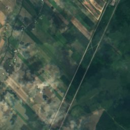
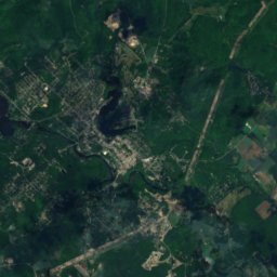
Satellite: Sentinel-2 cloudless 2016 by EOX IT Services GmbH · CC BY 4.0 · Contains modified Copernicus Sentinel data 2016
private schoolL'Assomption, Quebec

L'Assomption College

recognized heritage immovable
Typeprivate school
Built–
Best monthsMay–Jun · Sepweather in L'Assomption
45.83° N, 73.42° WUTC−4 · Eastern Daylight Time
When to goL'Assomption · weather score
JanFebMarAprMayJunJulAugSepOctNovDec45October
Best timeMay–Jun · Sep
October: high / low14° / 3°
iAbout

L'Assomption College in brief

L'Assomption College is a private school in L'Assomption, Quebec, Canada.

It holds the designation recognized heritage immovable.

For a visit, the weather in L'Assomption is best in May, June and September; in October afternoons average 14°.

L'Assomption: weather and travel guide

Facts

Type
private school
Designation
recognized heritage immovable
Nearest town
L'Assomption
Region
Quebec
Coordinates
45.82794, -73.42224
iiLocation

Where to find it

iiiWhen to visit

Weather in L'Assomption

Climate guide

Month score for sightseeing

Best May–Jun · Sep
Around here

L'Assomption and around

L'Assomption
Photo: LHOON · CC BY-SA 3.0 · Wikimedia CommonsReport this photo · linked, not stored

L'Assomption

Quebec · Canada
May–Jun · Sepbest months
28°July high
13 maltitude
L'Assomption

Nature

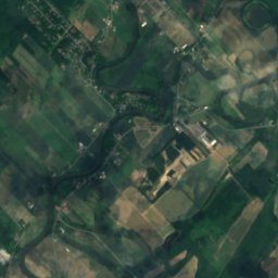
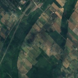
Rivière Saint-Esprit
Photo: Fralambert · CC BY-SA 4.0 · Wikimedia CommonsReport this photo · linked, not stored
4.4 km N

Rivière Saint-Esprit

River
Rivière Saint-Esprit
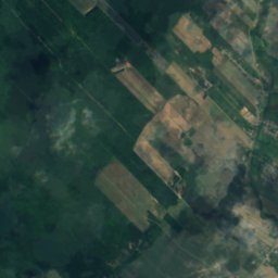
Satellite: Sentinel-2 cloudless 2016 by EOX IT Services GmbH · CC BY 4.0 · Contains modified Copernicus Sentinel data 2016
10 km NE

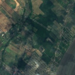
Rivière Saint-Antoine

River
Rivière Saint-Antoine
Rivière L'Assomption
Photo: User:Gene.arboit · CC BY-SA 3.0 · Wikimedia CommonsReport this photo · linked, not stored
13 km S

Rivière L'Assomption

River
Rivière L'Assomption

Mountains

Mont Saint-Hilaire
Photo: Johanne T. · Public domain · Wikimedia CommonsReport this photo · linked, not stored
37 km SE

Mont Saint-Hilaire

408 m · Monteregian Hills
Mont Saint-Hilaire
Mount Royal
Photo: Chicoutimi · Public domain · Wikimedia CommonsReport this photo · linked, not stored
37 km S

Mount Royal

233 m · Monteregian Hills
Mount Royal
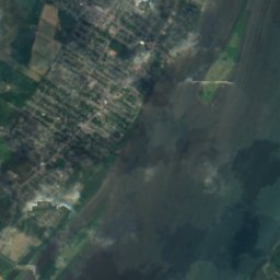
Satellite: Sentinel-2 cloudless 2016 by EOX IT Services GmbH · CC BY 4.0 · Contains modified Copernicus Sentinel data 2016
36 km NW

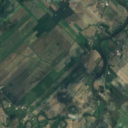
Mont Snow

230 m
Mont Snow

Heritage
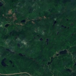
Satellite: Sentinel-2 cloudless 2016 by EOX IT Services GmbH · CC BY 4.0 · Contains modified Copernicus Sentinel data 2016
12 km S

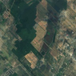
Notre-Dame-des-Champs of Repentigny Catholic Church

inventoried in the Quebec Cultural Heritage Directory · 1963

Notre-Dame-des-Champs of Repentigny Catholic Church
Coulée Grou
Photo: Jeangagnon · CC BY-SA 3.0 · Wikimedia CommonsReport this photo · linked, not stored
15 km S

Coulée Grou

national historic site of Canada
Coulée Grou