
Photo: SriMesh · CC BY-SA 3.0 · Wikimedia Commons
High Level BridgeReport this photo · linked, not stored
High Level BridgeReport this photo · linked, not stored

Photo: D. Benjamin Miller · CC0 · Wikimedia Commons
Alberta Legislature BuildingReport this photo · linked, not stored
Alberta Legislature BuildingAlberta Legislature BuildingReport this photo · linked, not stored

Photo: Jeffery J. Nichols (User:Arctic.gnome) · CC BY-SA 3.0 · Wikimedia Commons
Rutherford HouseReport this photo · linked, not stored
Rutherford HouseRutherford HouseReport this photo · linked, not stored

Photo: WinterE229 WinterforceMedia · Public domain · Wikimedia Commons
Rossdale Power PlantReport this photo · linked, not stored
Rossdale Power PlantRossdale Power PlantReport this photo · linked, not stored

Photo: Jeffery J. Nichols (User:Arctic.gnome) · CC BY-SA 3.0 · Wikimedia Commons
McKay Avenue SchoolReport this photo · linked, not stored
McKay Avenue SchoolMcKay Avenue SchoolReport this photo · linked, not stored
truss bridgeEdmonton, Alberta
High Level Bridge
municipal historic resource
Typetruss bridge
Built–
Best monthsJul–Sepweather in Edmonton
53.53° N, 113.51° WUTC−6 · Mountain Daylight Time
When to goEdmonton · weather score
Best timeJul–Sep
October: high / low10° / -3°
iAbout
High Level Bridge in brief
High Level Bridge is a truss bridge in Edmonton, Alberta, Canada.
It holds the designation municipal historic resource.
For a visit, the weather in Edmonton is best in July, August and September; in October afternoons average 10°.
iiLocation
Where to find it
ivNearby
All monuments in CanadaMore heritage close by
Satellite: Sentinel-2 cloudless 2016 by EOX IT Services GmbH · CC BY 4.0 · Contains modified Copernicus Sentinel data 2016
Fort Edmonton
0.3 km NE
national historic site of Canada
Photo: Jeffery J. Nichols (User:Arctic.gnome) · CC BY-SA 3.0 · Wikimedia CommonsReport this photo · linked, not stored
Rutherford House
0.7 km SW
provincial historic resource
Satellite: Sentinel-2 cloudless 2016 by EOX IT Services GmbH · CC BY 4.0 · Contains modified Copernicus Sentinel data 2016
Garneau Theatre
0.8 km S
municipal historic resource
Photo: WinterE229 WinterforceMedia · Public domain · Wikimedia CommonsReport this photo · linked, not stored
Rossdale Power Plant
0.8 km E
provincial historic resource
Photo: Jeffery J. Nichols (User:Arctic.gnome) · CC BY-SA 3.0 · Wikimedia CommonsReport this photo · linked, not stored
McKay Avenue School
1.0 km NE
provincial historic resource
Around here
Edmonton and around

Nature

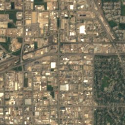
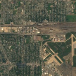
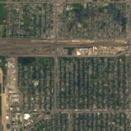
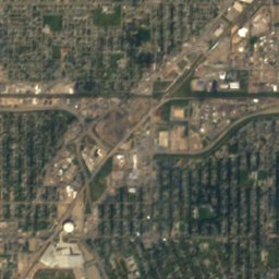
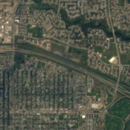
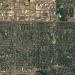
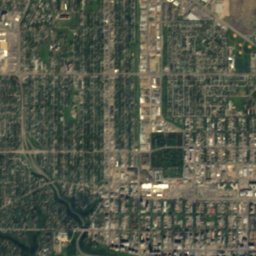
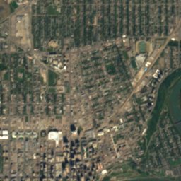
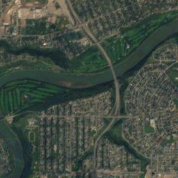
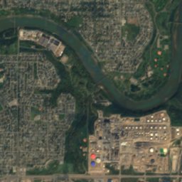
Satellite: Sentinel-2 cloudless 2016 by EOX IT Services GmbH · CC BY 4.0 · Contains modified Copernicus Sentinel data 2016
Rat Creek
River
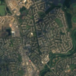
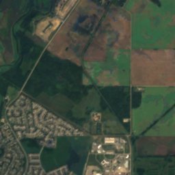
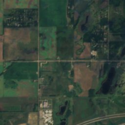
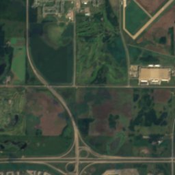
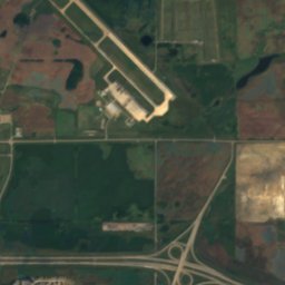
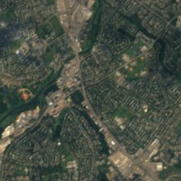
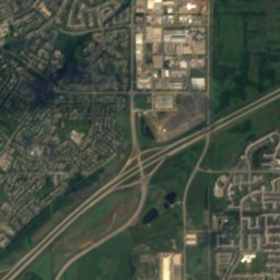
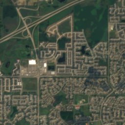
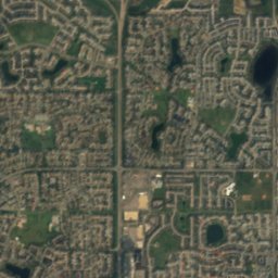
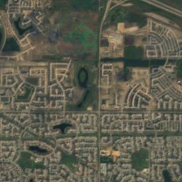
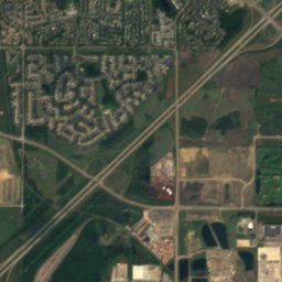
Satellite: Sentinel-2 cloudless 2016 by EOX IT Services GmbH · CC BY 4.0 · Contains modified Copernicus Sentinel data 2016
Beaumaris Lake
Lake · 675 m
Heritage

Photo: WinterE229 (WinterforceMedia) · CC0 · Wikimedia CommonsReport this photo · linked, not stored
Hotel Macdonald
municipal historic resource · 1915


Museums


Photo: WinterE229 WinterforceMedia · Public domain · Wikimedia CommonsReport this photo · linked, not stored
Muttart Conservatory
1976


