
Photo: Nlartist · CC BY-SA 3.0 · Wikimedia Commons
Cape Pine LightReport this photo · linked, not stored
Cape Pine LightReport this photo · linked, not stored
lighthouseSt. Vincent's-St. Stephen's-Peter's River, Newfoundland and Labrador
Cape Pine Light
national historic site of Canadarecognized federal heritage building of CanadaBuilt 1851
Typelighthouse
Built1851by Alexander Gordon
Best monthsJul–Sepweather in St. Vincent's-St. Stephen's-Peter's River
46.62° N, 53.53° WUTC−2:30 · Newfoundland Daylight Time
Standing for175 years
built 1851today 2026
When to goSt. Vincent's-St. Stephen's-Peter's River · weather score
Best timeJul–Sep
October: high / low11° / 7°
iAbout
Cape Pine Light in brief
Cape Pine Light is a lighthouse in St. Vincent's-St. Stephen's-Peter's River, Newfoundland and Labrador, Canada.
It holds the designations national historic site of Canada and recognized federal heritage building of Canada.
The lighthouse dates from 1851 and was designed by Alexander Gordon.
For a visit, the weather in St. Vincent's-St. Stephen's-Peter's River is best in July, August and September; in October afternoons average 11°.
St. Vincent's-St. Stephen's-Peter's River: weather and travel guide
Facts
- Type
- lighthouse
- Designation
- national historic site of Canada
- recognized federal heritage building of Canada
- Built
- 1851
- Architect
- Alexander Gordon
- Nearest town
- St. Vincent's-St. Stephen's-Peter's River
- Region
- Newfoundland and Labrador
- Coordinates
- 46.61714, -53.53158
iiLocation
Where to find it
iiiWhen to visit
Climate guideWeather in St. Vincent's-St. Stephen's-Peter's River
Month score for sightseeing
Best Jul–Sep12
Jan
12
Feb
14
Mar
15
Apr
15
May
30
Jun
52
Jul
59
Aug
49
Sep
23
Oct
15
Nov
13
Dec
Around here
St. Vincent's-St. Stephen's-Peter's River and around

St. Vincent's-St. Stephen's-Peter's River
Newfoundland and Labrador · Canada
Jul–Sepbest months
17°July high
2 maltitude
Nature
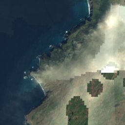
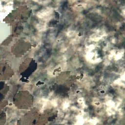
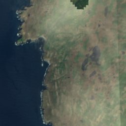
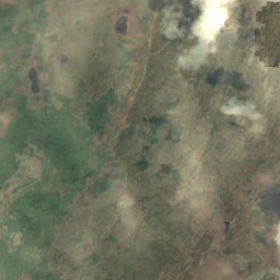
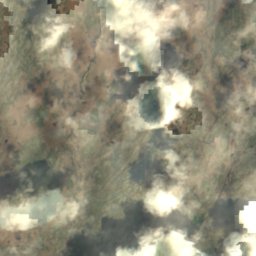
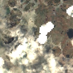
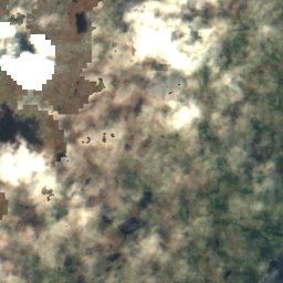
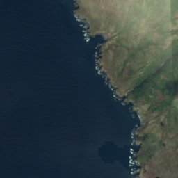
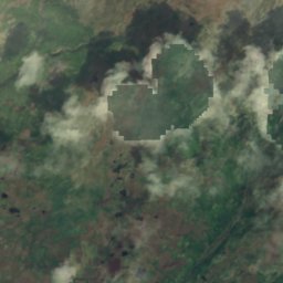
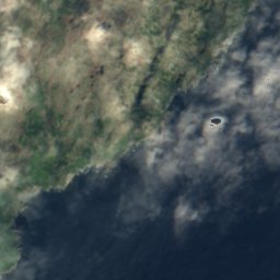
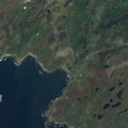
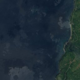
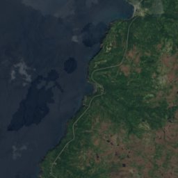
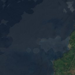
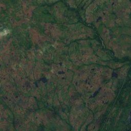
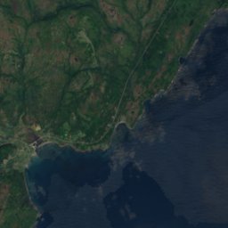
Satellite: Sentinel-2 cloudless 2016 by EOX IT Services GmbH · CC BY 4.0 · Contains modified Copernicus Sentinel data 2016
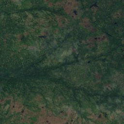
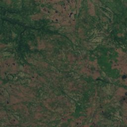
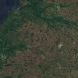
Good Water Gulch
Lake




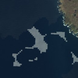


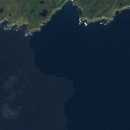
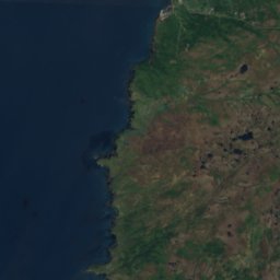
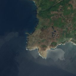
Satellite: Sentinel-2 cloudless 2016 by EOX IT Services GmbH · CC BY 4.0 · Contains modified Copernicus Sentinel data 2016
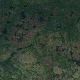
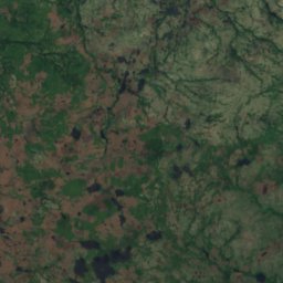
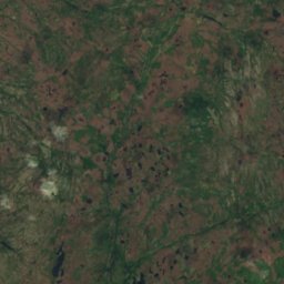
Western Head Gulch
Lake
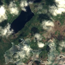
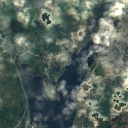
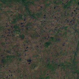
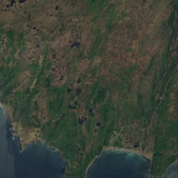
Satellite: Sentinel-2 cloudless 2016 by EOX IT Services GmbH · CC BY 4.0 · Contains modified Copernicus Sentinel data 2016
Carew Gully
Lake
Mountains

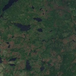

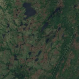
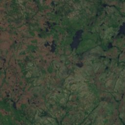
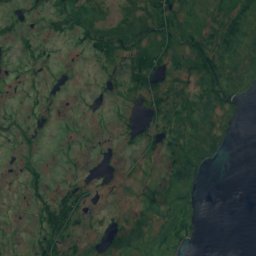
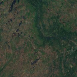
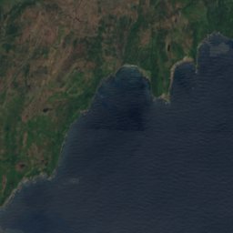
Satellite: Sentinel-2 cloudless 2016 by EOX IT Services GmbH · CC BY 4.0 · Contains modified Copernicus Sentinel data 2016
Eastern Pinnacle
223 m

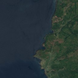
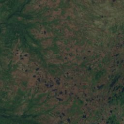
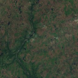




Satellite: Sentinel-2 cloudless 2016 by EOX IT Services GmbH · CC BY 4.0 · Contains modified Copernicus Sentinel data 2016
St. Bride's Lookout
150 m