


















Satellite: Sentinel-2 cloudless 2016 by EOX IT Services GmbH · CC BY 4.0 · Contains modified Copernicus Sentinel data 2016

Photo: Tolivero~commonswiki · CC BY-SA 3.0 · Wikimedia Commons
Signal HillReport this photo · linked, not stored
Signal HillSignal HillReport this photo · linked, not stored

Photo: SingleIntegral · CC BY-SA 3.0 · Wikimedia Commons
Fort AmherstReport this photo · linked, not stored
Fort AmherstFort AmherstReport this photo · linked, not stored

Photo: Dwssjnl · CC BY-SA 3.0 · Wikimedia Commons
Fort Amherst LighthouseReport this photo · linked, not stored
Fort Amherst LighthouseFort Amherst LighthouseReport this photo · linked, not stored

Photo: David P Janes · CC BY-SA 3.0 · Wikimedia Commons
Anderson HouseReport this photo · linked, not stored
Anderson HouseAnderson HouseReport this photo · linked, not stored
towerSt. John's, Newfoundland and Labrador
Cabot Tower
classified federal heritage building of CanadaBuilt 1900
TypetowerGothic Revival
Built1900
Best monthsJul–Sepweather in St. John's
47.57° N, 52.68° WUTC−2:30 · Newfoundland Daylight Time
Standing for126 years
built 1900today 2026
When to goSt. John's · weather score
Best timeJul–Sep
October: high / low11° / 7°
iAbout
Cabot Tower in brief
Cabot Tower is a tower in St. John's, Newfoundland and Labrador, Canada. Tower.
It holds the designation classified federal heritage building of Canada.
The tower dates from 1900 and is built in the Gothic Revival style.
For a visit, the weather in St. John's is best in July, August and September; in October afternoons average 11°.
Facts
- Type
- tower
- Designation
- classified federal heritage building of Canada
- Built
- 1900
- Style
- Gothic Revival
- Nearest town
- St. John's
- Region
- Newfoundland and Labrador
- Coordinates
- 47.57000, -52.68194
iiLocation
Where to find it
ivNearby
All monuments in CanadaMore heritage close by
Photo: Tolivero~commonswiki · CC BY-SA 3.0 · Wikimedia CommonsReport this photo · linked, not stored
Signal Hill
under 100 m S
national historic site of Canada
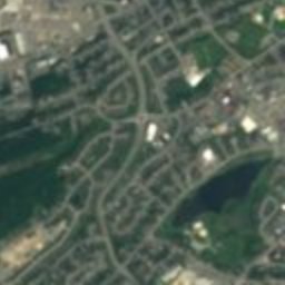
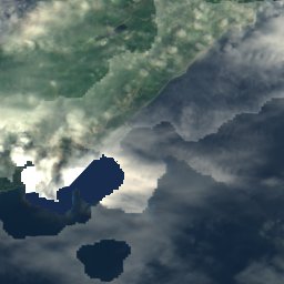
Satellite: Sentinel-2 cloudless 2016 by EOX IT Services GmbH · CC BY 4.0 · Contains modified Copernicus Sentinel data 2016
Fort William
1.4 km W
national historic site of Canada

Photo: Original uploader was Jcmurphy at en.wikipedia · CC BY-SA 3.0 · Wikimedia CommonsReport this photo · linked, not stored
National War Memorial
1.7 km W
national historic site of Canada
Around here
St. John's and around

Nature
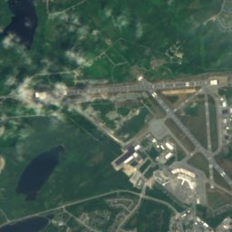
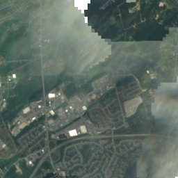
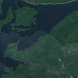
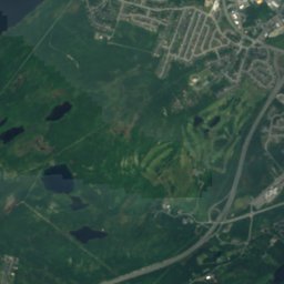
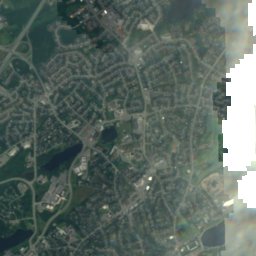

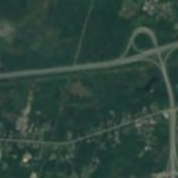
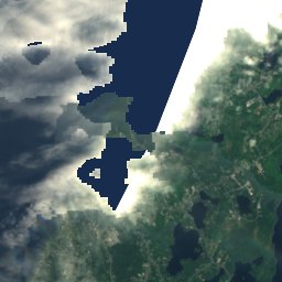
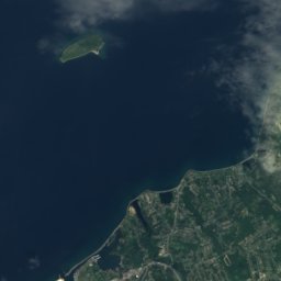
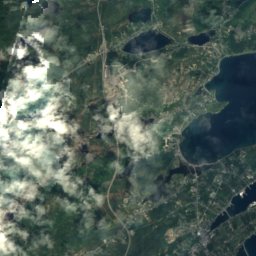
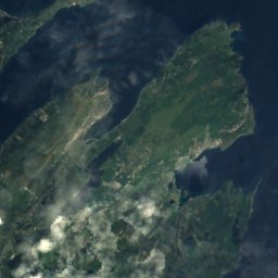
Satellite: Sentinel-2 cloudless 2016 by EOX IT Services GmbH · CC BY 4.0 · Contains modified Copernicus Sentinel data 2016
Quidi Vidi Lake, Newfoundland and Labrador
Lake · 17 m
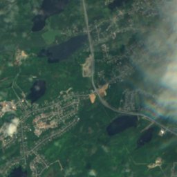
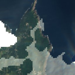

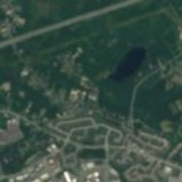
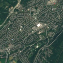
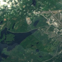
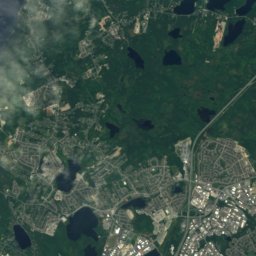
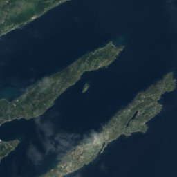
Satellite: Sentinel-2 cloudless 2016 by EOX IT Services GmbH · CC BY 4.0 · Contains modified Copernicus Sentinel data 2016
Virginia Lake, Newfoundland and Labrador
Lake
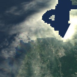
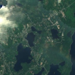
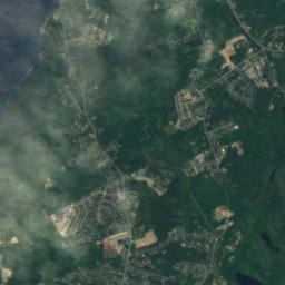
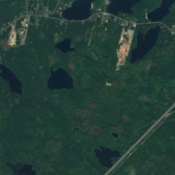
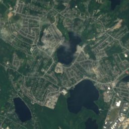
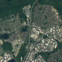
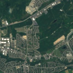
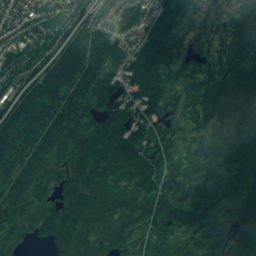
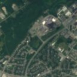
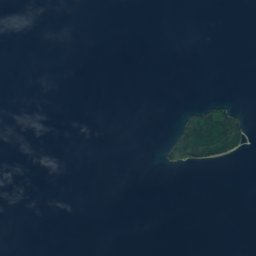
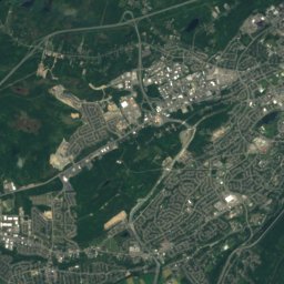
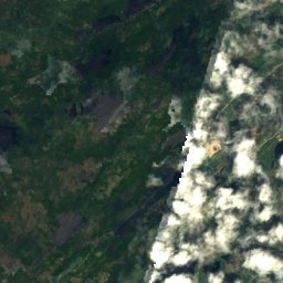
Satellite: Sentinel-2 cloudless 2016 by EOX IT Services GmbH · CC BY 4.0 · Contains modified Copernicus Sentinel data 2016
Sheep Pen Gully
Lake
Mountains
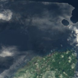
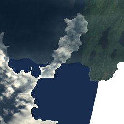
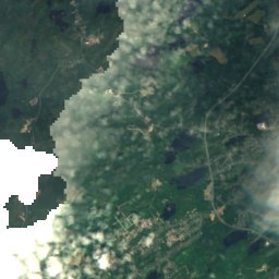

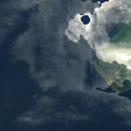

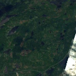
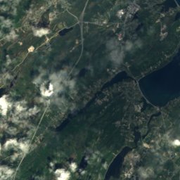
Satellite: Sentinel-2 cloudless 2016 by EOX IT Services GmbH · CC BY 4.0 · Contains modified Copernicus Sentinel data 2016
Mother Allans Rock
170 m
Heritage

Photo: Paul from Hacketts Cove, Canada · CC BY-SA 4.0 · Wikimedia CommonsReport this photo · linked, not stored
Basilica of St. John the Baptist
national historic site of Canada · 1850

Bank of British North America Building
national historic site of Canada · 1835


