
Photo: Arvindh Viswanathan · CC BY-SA 3.0 · Wikimedia Commons
BitumountReport this photo · linked, not stored
BitumountReport this photo · linked, not stored
localityFort MacKay, Alberta
Bitumount
provincial historic resource
Typelocality
Built–
Best monthsJul–Sepweather in Fort MacKay
57.39° N, 111.64° WUTC−6 · Mountain Daylight Time
When to goFort MacKay · weather score
Best timeJul–Sep
October: high / low7° / -2°
iAbout
Bitumount in brief
Bitumount is a locality in Fort MacKay, Alberta, Canada.
It holds the designation provincial historic resource.
For a visit, the weather in Fort MacKay is best in July, August and September; in October afternoons average 7°.
Facts
- Type
- locality
- Designation
- provincial historic resource
- Nearest town
- Fort MacKay
- Region
- Alberta
- Coordinates
- 57.38616, -111.64452
iiLocation
Where to find it
iiiWhen to visit
Climate guideWeather in Fort MacKay
Month score for sightseeing
Best Jul–Sep31
Jan
33
Feb
30
Mar
23
Apr
63
May
63
Jun
65
Jul
67
Aug
64
Sep
27
Oct
27
Nov
28
Dec
Around here
Fort MacKay and around

Nature
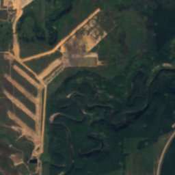
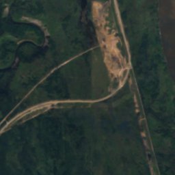
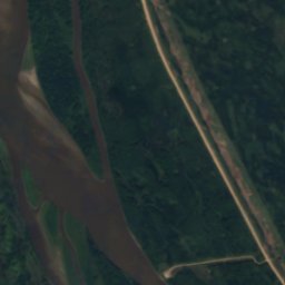
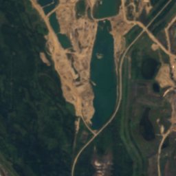
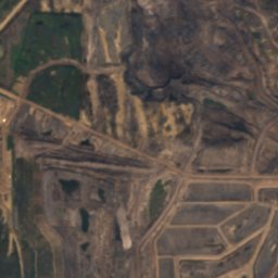
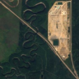
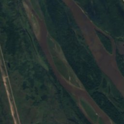
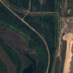
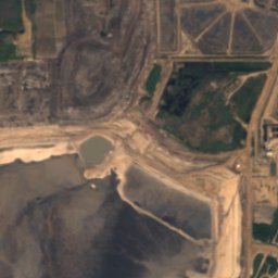
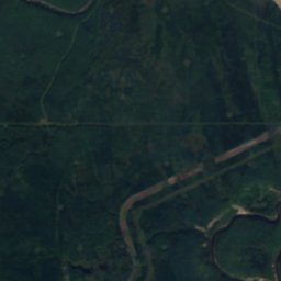
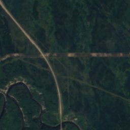
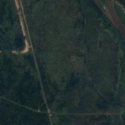
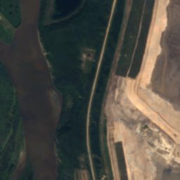
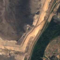
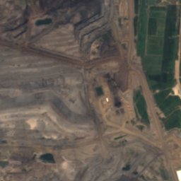
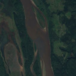
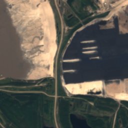
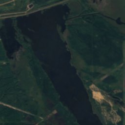
Satellite: Sentinel-2 cloudless 2016 by EOX IT Services GmbH · CC BY 4.0 · Contains modified Copernicus Sentinel data 2016
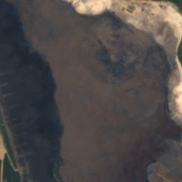
Isadore's Lake
Lake · 230 m
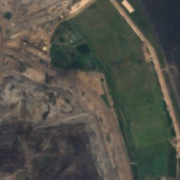
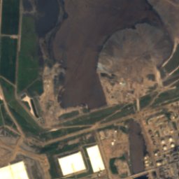
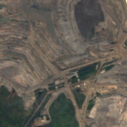
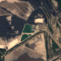
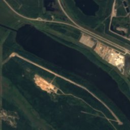
Satellite: Sentinel-2 cloudless 2016 by EOX IT Services GmbH · CC BY 4.0 · Contains modified Copernicus Sentinel data 2016
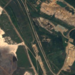
Mildred Lake, Fort MacKay
Lake · 302 m
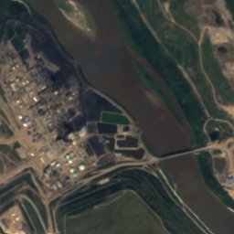
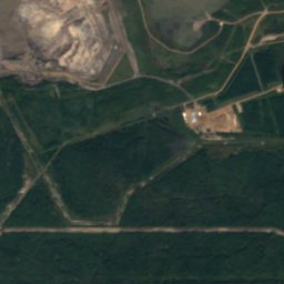
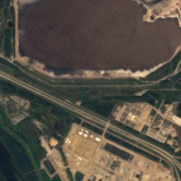
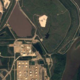
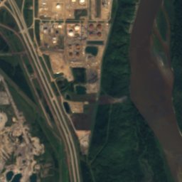
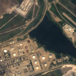
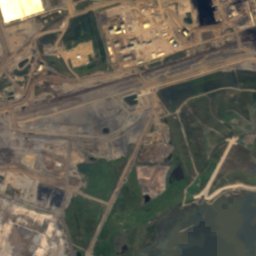
Satellite: Sentinel-2 cloudless 2016 by EOX IT Services GmbH · CC BY 4.0 · Contains modified Copernicus Sentinel data 2016
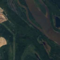
Ruth Lake, Alberta
Lake · 306 m
Heritage




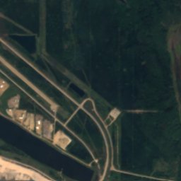
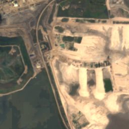
Satellite: Sentinel-2 cloudless 2016 by EOX IT Services GmbH · CC BY 4.0 · Contains modified Copernicus Sentinel data 2016
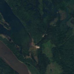
Cree Burn Lake Archaeological Site
provincial historic resource