

Satellite: Sentinel-2 cloudless 2016 by EOX IT Services GmbH · CC BY 4.0 · Contains modified Copernicus Sentinel data 2016
ghost townStanley, British Columbia
Barkerville
national historic site of CanadaBritish Columbia designated provincial heritage siteBuilt 1862
Typeghost town
Built1862
Best monthsJun–Augweather in Stanley
53.07° N, 121.52° WUTC−7 · Pacific Daylight Time
Standing for164 years
built 1862today 2026
When to goStanley · weather score
Best timeJun–Aug
October: high / low7° / -1°
iAbout
Barkerville in brief
Barkerville is a ghost town in Stanley, British Columbia, Canada.
It holds the designations national historic site of Canada and British Columbia designated provincial heritage site.
The ghost town dates from 1862.
For a visit, the weather in Stanley is best in June, July and August; in October afternoons average 7°.
Facts
- Type
- ghost town
- Designation
- national historic site of Canada
- British Columbia designated provincial heritage site
- Built
- 1862
- Nearest town
- Stanley
- Region
- British Columbia
- Coordinates
- 53.06583, -121.51722
iiLocation
Where to find it
iiiWhen to visit
Climate guideWeather in Stanley
Month score for sightseeing
Best Jun–Aug17
Jan
18
Feb
18
Mar
18
Apr
33
May
57
Jun
65
Jul
66
Aug
49
Sep
18
Oct
16
Nov
17
Dec
Around here
Stanley and around

Photo: Ssarjola at English Wikipedia · Public domain · Wikimedia CommonsReport this photo · linked, not stored
Stanley
British Columbia · Canada
Jun–Augbest months
20°July high
1,277 maltitude
Nature
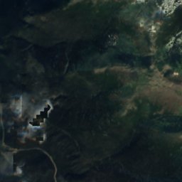
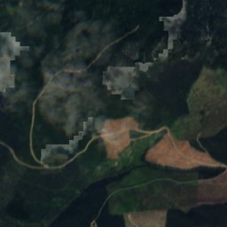
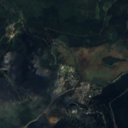
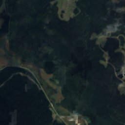
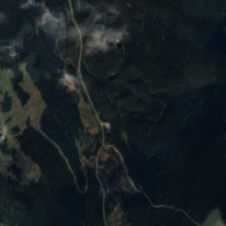
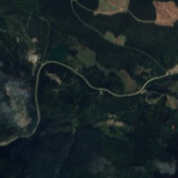
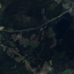
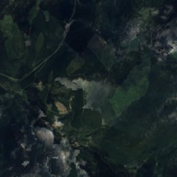
Satellite: Sentinel-2 cloudless 2016 by EOX IT Services GmbH · CC BY 4.0 · Contains modified Copernicus Sentinel data 2016
Williams Creek
River
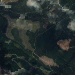
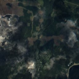
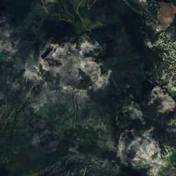
Satellite: Sentinel-2 cloudless 2016 by EOX IT Services GmbH · CC BY 4.0 · Contains modified Copernicus Sentinel data 2016
Jack of Clubs Lake
Lake · 1,196 m
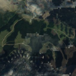
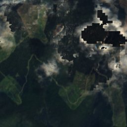
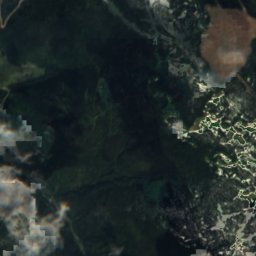
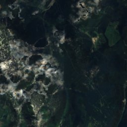
Satellite: Sentinel-2 cloudless 2016 by EOX IT Services GmbH · CC BY 4.0 · Contains modified Copernicus Sentinel data 2016
Tucker Lake, British Columbia
Lake
Mountains
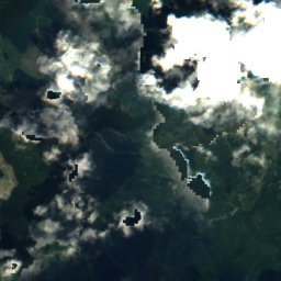
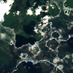
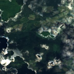
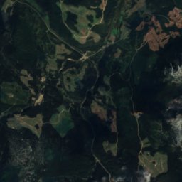
Satellite: Sentinel-2 cloudless 2016 by EOX IT Services GmbH · CC BY 4.0 · Contains modified Copernicus Sentinel data 2016
Two Sisters Mountain
1,828 m
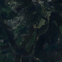
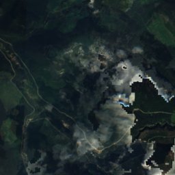
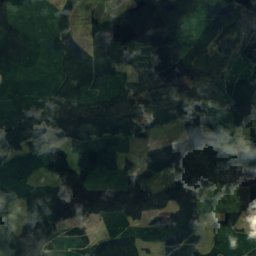
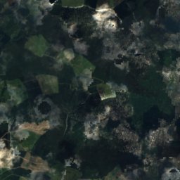
Satellite: Sentinel-2 cloudless 2016 by EOX IT Services GmbH · CC BY 4.0 · Contains modified Copernicus Sentinel data 2016
Meridian Mountain
1,760 m
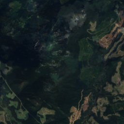
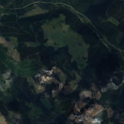

Satellite: Sentinel-2 cloudless 2016 by EOX IT Services GmbH · CC BY 4.0 · Contains modified Copernicus Sentinel data 2016
Cow Mountain
1,732 m