Skip to content
Destinations
Weather & climate
Nature
Outdoors
Culture
Events
Sky & live
Roluos
Photo: Damien @ Flickr · CC BY 2.0 · Wikimedia Commons
RoluosReport this photo · linked, not stored
archaeological siteSiem Reap, Siem Reap

Roluos

part of UNESCO World Heritage Site
Typearchaeological site
Built–
Best monthsJan–Feb · Decweather in Siem Reap
13.34° N, 103.97° EUTC+7 · Indochina Time
When to goSiem Reap · weather score
JanFebMarAprMayJunJulAugSepOctNovDec36October
Best timeJan–Feb · Dec
October: high / low30° / 24°
iAbout

Roluos in brief

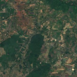
Roluos is an archaeological site in Siem Reap, Cambodia.

It holds the designation part of UNESCO World Heritage Site.

For a visit, the weather in Siem Reap is best in January, February and December; in October afternoons average 30°.

Siem Reap: weather and travel guide

Facts

Type
archaeological site
Designation
part of UNESCO World Heritage Site
Nearest town
Siem Reap
Region
Siem Reap
Coordinates
13.34194, 103.97222
iiLocation

Where to find it

iiiWhen to visit

Weather in Siem Reap

Climate guide

Month score for sightseeing

Best Jan–Feb · Dec
Around here

Siem Reap and around

Siem Reap
Photo: Bahnfrend · CC BY-SA 4.0 · Wikimedia CommonsReport this photo · linked, not stored

Siem Reap

Siem Reap · Cambodia
Jan–Feb · Decbest months
32°July high
18 maltitude
Siem Reap

Nature

West Baray
Photo: Gabriella Clare Marino Gcmarino · CC BY-SA 3.0 · Wikimedia CommonsReport this photo · linked, not stored
10 km NW

West Baray

Lake
West Baray
Srah Srang
Photo: Diego Delso · CC BY-SA 3.0 · Wikimedia CommonsReport this photo · linked, not stored
9.2 km NE

Srah Srang

Lake
Srah Srang
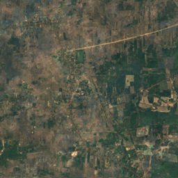
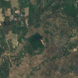
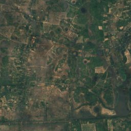
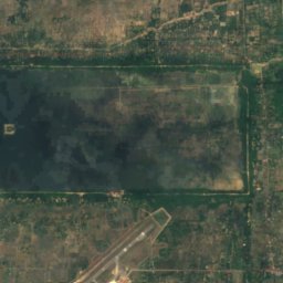
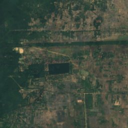
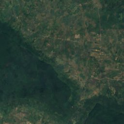
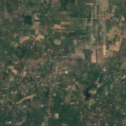
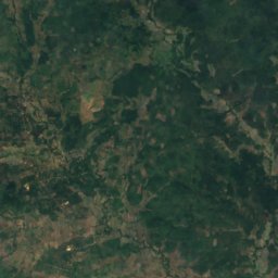
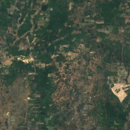
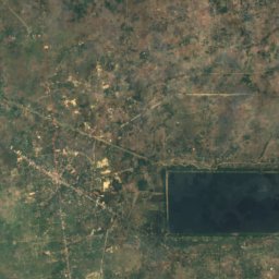
Satellite: Sentinel-2 cloudless 2016 by EOX IT Services GmbH · CC BY 4.0 · Contains modified Copernicus Sentinel data 2016
12 km NE

East Baray

Lake
East Baray

Mountains

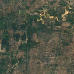
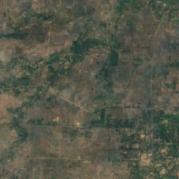
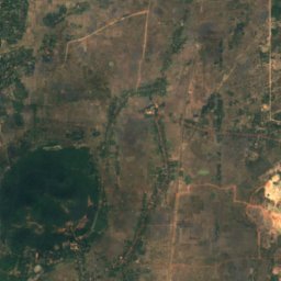
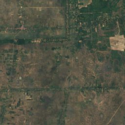
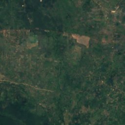
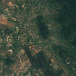
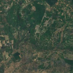
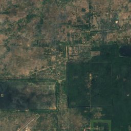
Satellite: Sentinel-2 cloudless 2016 by EOX IT Services GmbH · CC BY 4.0 · Contains modified Copernicus Sentinel data 2016
39 km NE

Phnom Kulen

487 m
Phnom Kulen
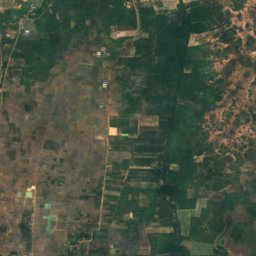
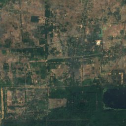
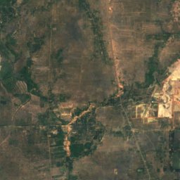
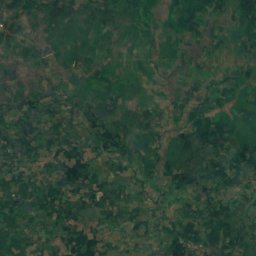
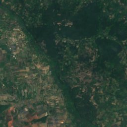
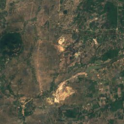
Satellite: Sentinel-2 cloudless 2016 by EOX IT Services GmbH · CC BY 4.0 · Contains modified Copernicus Sentinel data 2016
29 km NE

Phnom Dei

272 m
Phnom Dei
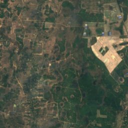
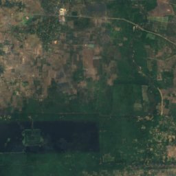
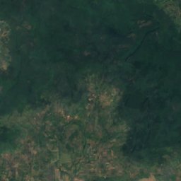
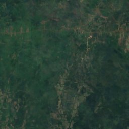
Satellite: Sentinel-2 cloudless 2016 by EOX IT Services GmbH · CC BY 4.0 · Contains modified Copernicus Sentinel data 2016
18 km NE

Phnom Bok

205 m
Phnom Bok

Heritage

Satellite: Sentinel-2 cloudless 2016 by EOX IT Services GmbH · CC BY 4.0 · Contains modified Copernicus Sentinel data 2016
8.5 km N

Angkor

part of UNESCO World Heritage Site
Angkor

Museums

Angkor National Museum
Photo: Supanut Arunoprayote · CC BY 4.0 · Wikimedia CommonsReport this photo · linked, not stored
0.5 km N

Angkor National Museum

2007
Angkor National Museum
Cambodian Cultural Village
Photo: Narin BI from Phnom Penh, Cambodia · CC BY 2.0 · Wikimedia CommonsReport this photo · linked, not stored
3.6 km NW

Cambodian Cultural Village

2003
Cambodian Cultural Village
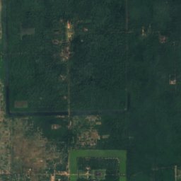
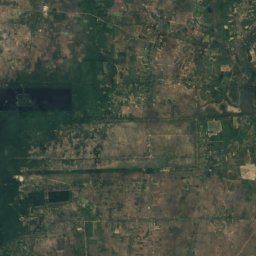
Satellite: Sentinel-2 cloudless 2016 by EOX IT Services GmbH · CC BY 4.0 · Contains modified Copernicus Sentinel data 2016
2.8 km NE

Angkor Panorama Museum

Angkor Panorama Museum