Skip to content
Destinations
Weather & climate
Nature
Outdoors
Culture
Events
Sky & live
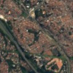
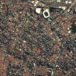
Satellite: Sentinel-2 cloudless 2016 by EOX IT Services GmbH · CC BY 4.0 · Contains modified Copernicus Sentinel data 2016
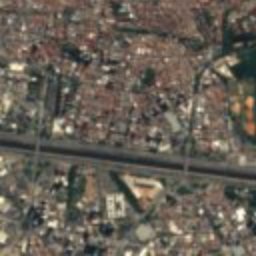
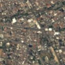
Edifício Victor Civita
Photo: Carlos Alkmin · CC BY-SA 4.0 · Wikimedia Commons
Edifício Victor CivitaReport this photo · linked, not stored
Edifício Victor Civita
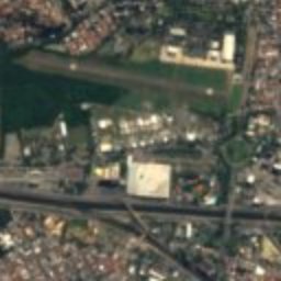
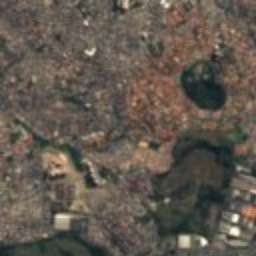
Reservatório do Araçá
Photo: Lucas Sarti · CC BY-SA 4.0 · Wikimedia Commons
Reservatório do AraçáReport this photo · linked, not stored
Reservatório do Araçá
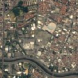
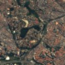
Casa Guilherme de Almeida
Photo: Dornicke · Public domain · Wikimedia Commons
Casa Guilherme de AlmeidaReport this photo · linked, not stored
Casa Guilherme de Almeida
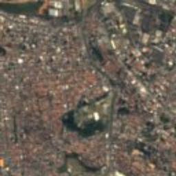
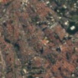
School of Public Health of the University of São Paulo
Photo: Reinaldo Bertelli · CC BY 3.0 · Wikimedia Commons
School of Public Health of the University of São PauloReport this photo · linked, not stored
School of Public Health of the University of São Paulo
neighbourhood of São PauloSão Paulo, São Paulo

Sumaré

Conpresp Good Class
Typeneighbourhood of São Paulo
Built–
Best monthsMay · Jul–Augweather in São Paulo
23.55° S, 46.68° WUTC−3 · Brasilia Standard Time
When to goSão Paulo · weather score
JanFebMarAprMayJunJulAugSepOctNovDec57October
Best timeMay · Jul–Aug
October: high / low24° / 16°
iAbout

Sumaré in brief

Sumaré is a neighbourhood of são paulo in São Paulo, Brazil.

It holds the designation Conpresp Good Class.

For a visit, the weather in São Paulo is best in May, July and August; in October afternoons average 24°.

São Paulo: weather and travel guide

Facts

Type
neighbourhood of São Paulo
Designation
Conpresp Good Class
Nearest town
São Paulo
Region
São Paulo
Coordinates
-23.54556, -46.68361
iiLocation

Where to find it

iiiWhen to visit

Weather in São Paulo

Climate guide

Month score for sightseeing

Best May · Jul–Aug
ivNearby

More heritage close by

All monuments in Brazil
Edifício Victor Civita
Photo: Carlos Alkmin · CC BY-SA 4.0 · Wikimedia CommonsReport this photo · linked, not stored

Edifício Victor Civita

0.2 km NE
CONDEPHAAT Good Class
Edifício Victor Civita
Reservatório do Araçá
Photo: Lucas Sarti · CC BY-SA 4.0 · Wikimedia CommonsReport this photo · linked, not stored

Reservatório do Araçá

0.2 km NE
Conpresp Good Class
Reservatório do Araçá
Casa Guilherme de Almeida
Photo: Dornicke · Public domain · Wikimedia CommonsReport this photo · linked, not stored

Casa Guilherme de Almeida

1.0 km E
CONDEPHAAT Good Class
Casa Guilherme de Almeida
School of Public Health of the University of São Paulo
Photo: Reinaldo Bertelli · CC BY 3.0 · Wikimedia CommonsReport this photo · linked, not stored

School of Public Health of the University of São Paulo

1.4 km SE
CONDEPHAAT Good Class
School of Public Health of the University of São Paulo
Praça Benedito Calixto
Photo: Arcstur · CC BY-SA 4.0 · Wikimedia CommonsReport this photo · linked, not stored

Praça Benedito Calixto

1.4 km S
asset of historic and or cultural interest
Praça Benedito Calixto
Pacaembu
Photo: Ana Paula Hirama · CC BY-SA 2.0 · Wikimedia CommonsReport this photo · linked, not stored

Pacaembu

1.5 km E
CONDEPHAAT Good Class
Pacaembu
Around here

São Paulo and around

São Paulo
Photo: joao batista Shimoto · CC BY-SA 3.0 · Wikimedia CommonsReport this photo · linked, not stored

São Paulo

São Paulo · Brazil
May · Jul–Augbest months
21°July high
769 maltitude
São Paulo

Nature

Anhangabaú River
Photo: Lucas Landin · CC BY-SA 4.0 · Wikimedia CommonsReport this photo · linked, not stored
1.2 km NE

Anhangabaú River

River
Anhangabaú River
Aricanduva River
Photo: Raphael Igor · CC BY-SA 3.0 · Wikimedia CommonsReport this photo · linked, not stored
8.2 km E

Aricanduva River

River
Aricanduva River
Cabuçu de Cima River
Photo: Rautopia · Public domain · Wikimedia CommonsReport this photo · linked, not stored
9.2 km NE

Cabuçu de Cima River

River
Cabuçu de Cima River

Mountains

Satellite: Sentinel-2 cloudless 2016 by EOX IT Services GmbH · CC BY 4.0 · Contains modified Copernicus Sentinel data 2016
37 km NE

Pico do Gil

1,438 m
Pico do Gil
Pico do Jaraguá
Photo: Ivano Gutz · CC BY-SA 3.0 · Wikimedia CommonsReport this photo · linked, not stored
17 km NW

Pico do Jaraguá

1,135 m · Serra da Cantareira
Pico do Jaraguá

Heritage

São Paulo Cathedral
Photo: Geovana li malike · CC BY-SA 4.0 · Wikimedia CommonsReport this photo · linked, not stored
0.5 km SE

São Paulo Cathedral

CONDEPHAAT Good Class · 1913
São Paulo Cathedral
Municipal Theater of São Paulo
Photo: Wilfredor · CC0 · Wikimedia CommonsReport this photo · linked, not stored
0.4 km NW

Municipal Theater of São Paulo

heritage asset listed by IPHAN · 1903
Municipal Theater of São Paulo
Satellite: Sentinel-2 cloudless 2016 by EOX IT Services GmbH · CC BY 4.0 · Contains modified Copernicus Sentinel data 2016
3.0 km W

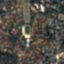
Estádio do Pacaembu

CONDEPHAAT Good Class · 1938
Estádio do Pacaembu

Museums

São Paulo Museum of Art
Photo: ProtoplasmaKid · CC BY-SA 4.0 · Wikimedia CommonsReport this photo · linked, not stored
2.5 km SW

São Paulo Museum of Art

Art museum · 1947
São Paulo Museum of Art
Pinacoteca de São Paulo
Photo: Wilfredor · CC BY-SA 4.0 · Wikimedia CommonsReport this photo · linked, not stored
1.5 km N

Pinacoteca de São Paulo

Pinacotheca · 1905
Pinacoteca de São Paulo
Immigration Museum of the State of São Paulo
Photo: Photograph by Mike Peel (www.mikepeel.net). · CC BY-SA 4.0 · Wikimedia CommonsReport this photo · linked, not stored
2.4 km E

Immigration Museum of the State of São Paulo

1993
Immigration Museum of the State of São Paulo