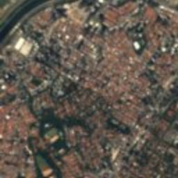
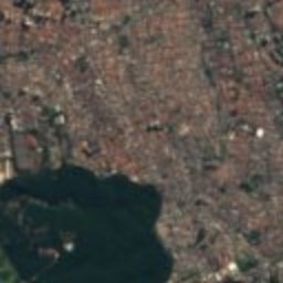
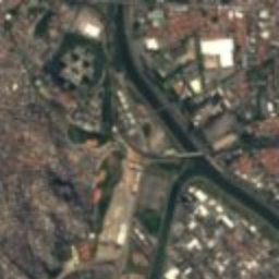
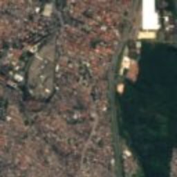
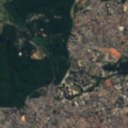
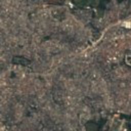
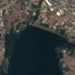
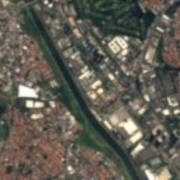
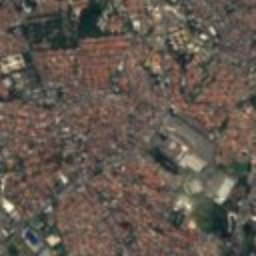
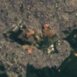
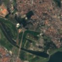
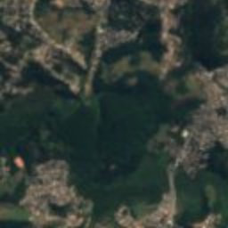
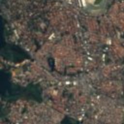
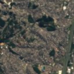
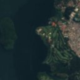
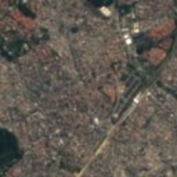
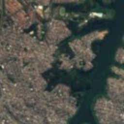
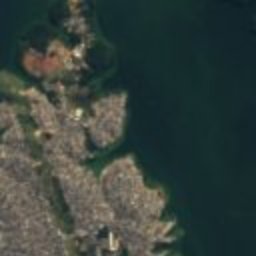
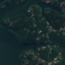
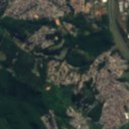
Satellite: Sentinel-2 cloudless 2016 by EOX IT Services GmbH · CC BY 4.0 · Contains modified Copernicus Sentinel data 2016
neighbourhood of São PauloDiadema, São Paulo
Interlagos
Conpresp Good Class
Typeneighbourhood of São Paulo
Built–
Best monthsJun–Augweather in Diadema
23.70° S, 46.70° WUTC−3 · Brasilia Standard Time
When to goDiadema · weather score
Best timeJun–Aug
October: high / low24° / 15°
iAbout
Interlagos in brief
Interlagos is a neighbourhood of são paulo in Diadema, São Paulo, Brazil.
It holds the designation Conpresp Good Class.
For a visit, the weather in Diadema is best in June, July and August; in October afternoons average 24°.
iiLocation
Where to find it
ivNearby
All monuments in BrazilMore heritage close by
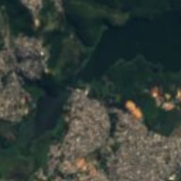
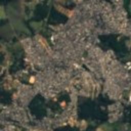
Satellite: Sentinel-2 cloudless 2016 by EOX IT Services GmbH · CC BY 4.0 · Contains modified Copernicus Sentinel data 2016
Heróis Da Travessia Do Atlântico
3.4 km NW
public heritage listed by the Monuments of São Paulo project
Around here
Diadema and around

Photo: Valter Campanato/ABr · CC BY 3.0 br · Wikimedia CommonsReport this photo · linked, not stored
Diadema
São Paulo · Brazil
Jun–Augbest months
21°July high
784 maltitude
Nature
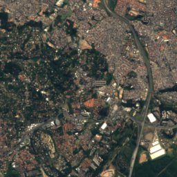
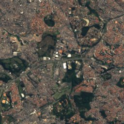
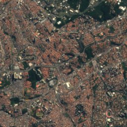
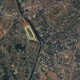
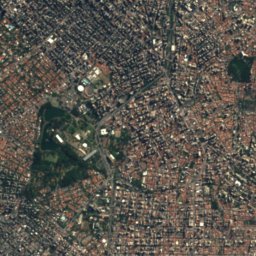
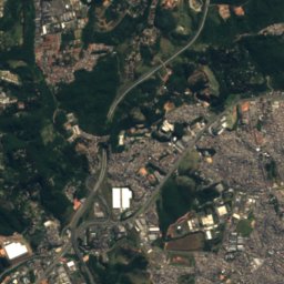
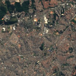
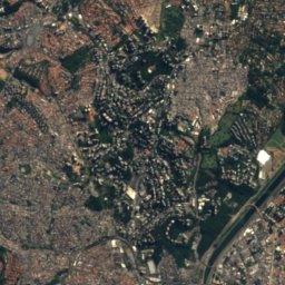
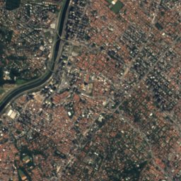
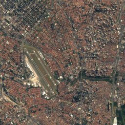
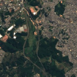
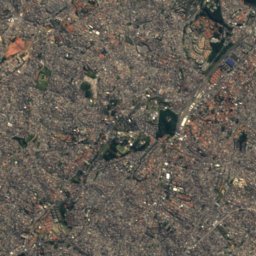
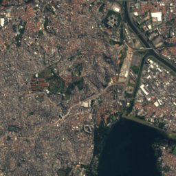
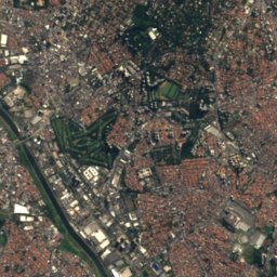
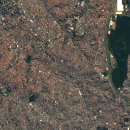
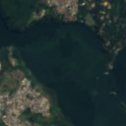
Satellite: Sentinel-2 cloudless 2016 by EOX IT Services GmbH · CC BY 4.0 · Contains modified Copernicus Sentinel data 2016
Guarapiranga River
River
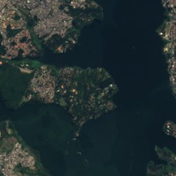
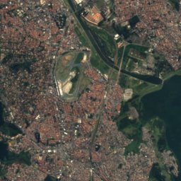
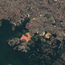
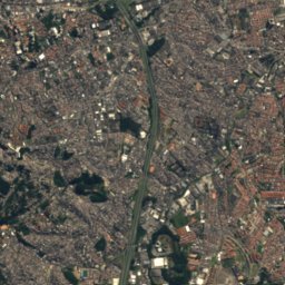
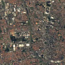
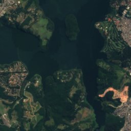
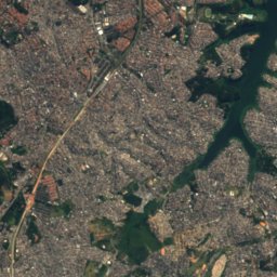
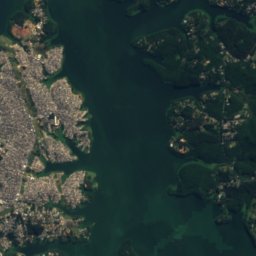
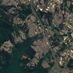
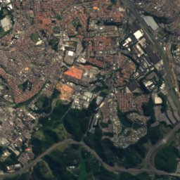
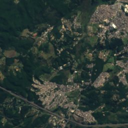
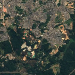
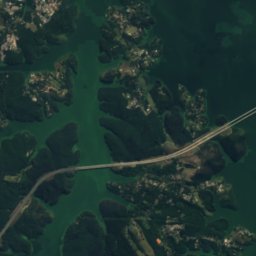
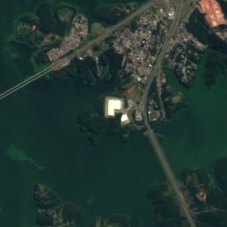
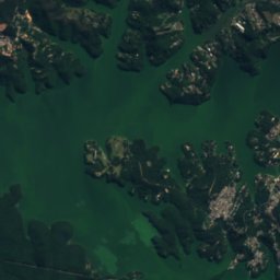
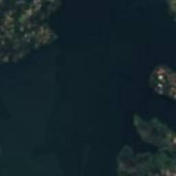
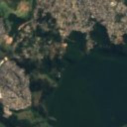
Satellite: Sentinel-2 cloudless 2016 by EOX IT Services GmbH · CC BY 4.0 · Contains modified Copernicus Sentinel data 2016
Reservatório do Rio Grande
Lake · 751 m
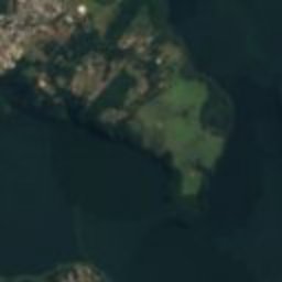
Satellite: Sentinel-2 cloudless 2016 by EOX IT Services GmbH · CC BY 4.0 · Contains modified Copernicus Sentinel data 2016
Reservatório do Reprezas da Rio Grande
Lake · 751 m
Mountains

Heritage


Photo: Governo do Estado de São Paulo · CC BY 2.0 · Wikimedia CommonsReport this photo · linked, not stored
Edifício-monumento
heritage asset listed by IPHAN · 1890

Museums

Satellite: Sentinel-2 cloudless 2016 by EOX IT Services GmbH · CC BY 4.0 · Contains modified Copernicus Sentinel data 2016
Science and Technology Park of the University of São Paulo
1932


