



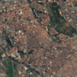
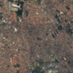
Satellite: Sentinel-2 cloudless 2016 by EOX IT Services GmbH · CC BY 4.0 · Contains modified Copernicus Sentinel data 2016

Photo: Giovanni Magliano · CC BY-SA 4.0 · Wikimedia Commons
Edifício do London & River Plate BankReport this photo · linked, not stored
Edifício do London & River Plate BankEdifício do London & River Plate BankReport this photo · linked, not stored

Photo: Sturm · CC BY-SA 4.0 · Wikimedia Commons
Relógios públicos de NichileReport this photo · linked, not stored
Relógios públicos de NichileRelógios públicos de NichileReport this photo · linked, not stored

Photo: Photograph by Mike Peel (www.mikepeel.net). · CC BY-SA 4.0 · Wikimedia Commons
Banco de São Paulo BuildingReport this photo · linked, not stored
Banco de São Paulo BuildingBanco de São Paulo BuildingReport this photo · linked, not stored

Photo: Photograph by Mike Peel (www.mikepeel.net). · CC BY-SA 4.0 · Wikimedia Commons
Sampaio Moreira BuildingReport this photo · linked, not stored
Sampaio Moreira BuildingSampaio Moreira BuildingReport this photo · linked, not stored
skyscraperSão Paulo, São Paulo
Edifício Altino Arantes
CONDEPHAAT Good ClassBuilt 1939
Typeskyscraper
Built1939
Best monthsMay · Jul–Augweather in São Paulo
23.55° S, 46.63° WUTC−3 · Brasilia Standard Time
Standing for87 years
built 1939today 2026
When to goSão Paulo · weather score
Best timeMay · Jul–Aug
October: high / low24° / 16°
iAbout
Edifício Altino Arantes in brief
Edifício Altino Arantes is a skyscraper in São Paulo, Brazil.
It holds the designation CONDEPHAAT Good Class.
The skyscraper dates from 1939.
For a visit, the weather in São Paulo is best in May, July and August; in October afternoons average 24°.
iiLocation
Where to find it
ivNearby
All monuments in BrazilMore heritage close by
Edifício do London & River Plate Bank
under 100 m SW
Conpresp Good Class
Photo: Photograph by Mike Peel (www.mikepeel.net). · CC BY-SA 4.0 · Wikimedia CommonsReport this photo · linked, not stored
Banco de São Paulo Building
under 100 m SW
CONDEPHAAT Good Class
Satellite: Sentinel-2 cloudless 2016 by EOX IT Services GmbH · CC BY 4.0 · Contains modified Copernicus Sentinel data 2016
Mosteiro de São Bento, São Paulo
0.2 km N
Heritage of Portuguese Influence
Photo: Photograph by Mike Peel (www.mikepeel.net). · CC BY-SA 4.0 · Wikimedia CommonsReport this photo · linked, not stored
Sampaio Moreira Building
0.2 km SW
Conpresp Good Class
Satellite: Sentinel-2 cloudless 2016 by EOX IT Services GmbH · CC BY 4.0 · Contains modified Copernicus Sentinel data 2016
Residência de Elias Pacheco Chaves
0.3 km SW
CONDEPHAAT Good Class
Around here
São Paulo and around

Photo: joao batista Shimoto · CC BY-SA 3.0 · Wikimedia CommonsReport this photo · linked, not stored
São Paulo
São Paulo · Brazil
May · Jul–Augbest months
21°July high
769 maltitude
Nature


Mountains
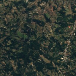
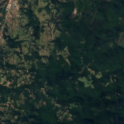
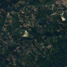
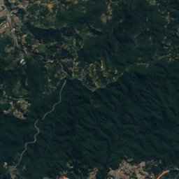
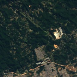
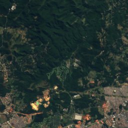
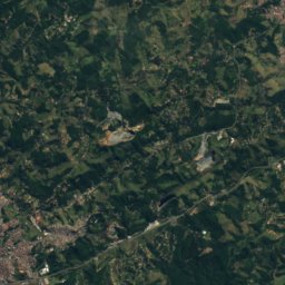
Satellite: Sentinel-2 cloudless 2016 by EOX IT Services GmbH · CC BY 4.0 · Contains modified Copernicus Sentinel data 2016
Pico do Gil
1,438 m

Heritage


Municipal Theater of São Paulo
heritage asset listed by IPHAN · 1903

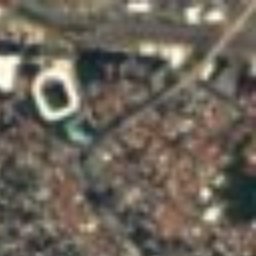





Satellite: Sentinel-2 cloudless 2016 by EOX IT Services GmbH · CC BY 4.0 · Contains modified Copernicus Sentinel data 2016
Estádio do Pacaembu
CONDEPHAAT Good Class · 1938
Museums


Photo: Photograph by Mike Peel (www.mikepeel.net). · CC BY-SA 4.0 · Wikimedia CommonsReport this photo · linked, not stored

Immigration Museum of the State of São Paulo
1993