
islandPlacencia, Southern District
Laughing Bird Caye
part of UNESCO World Heritage SiteBuilt 1991
Typeisland
Built1991
Best monthsFeb–Aprweather in Placencia
16.44° N, 88.20° WUTC−6 · Central Standard Time
Standing for35 years
built 1991today 2026
When to goPlacencia · weather score
Best timeFeb–Apr
October: high / low30° / 25°
iAbout
Laughing Bird Caye in brief
Laughing Bird Caye is an island in Placencia, Southern District, Belize.
It holds the designation part of UNESCO World Heritage Site.
The island dates from 1991.
For a visit, the weather in Placencia is best in February, March and April; in October afternoons average 30°.
Facts
- Type
- island
- Designation
- part of UNESCO World Heritage Site
- Built
- 1991
- Nearest town
- Placencia
- Region
- Southern District
- Coordinates
- 16.44344, -88.19725
iiLocation
Where to find it
iiiWhen to visit
Climate guideWeather in Placencia
Month score for sightseeing
Best Feb–Apr59
Jan
63
Feb
64
Mar
68
Apr
46
May
34
Jun
39
Jul
40
Aug
35
Sep
41
Oct
51
Nov
56
Dec
Around here
Placencia and around

Nature


Mountains
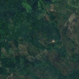
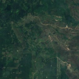
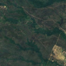
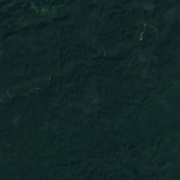
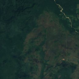
Satellite: Sentinel-2 cloudless 2016 by EOX IT Services GmbH · CC BY 4.0 · Contains modified Copernicus Sentinel data 2016
Sierritas
143 m
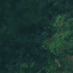


Satellite: Sentinel-2 cloudless 2016 by EOX IT Services GmbH · CC BY 4.0 · Contains modified Copernicus Sentinel data 2016
Serro Blanco
139 m
Satellite: Sentinel-2 cloudless 2016 by EOX IT Services GmbH · CC BY 4.0 · Contains modified Copernicus Sentinel data 2016
Swasey Stopper
113 m