
Photo: Jean-Pol GRANDMONT · CC BY-SA 2.5 · Wikimedia Commons
RolyReport this photo · linked, not stored
RolyReport this photo · linked, not stored
municipality sectionMariembourg, Wallonia
Roly
protected heritage property in Wallonia
Typemunicipality section
Built–
Best monthsJul–Sepweather in Mariembourg
50.13° N, 4.53° EUTC+2 · Central European Summer Time
When to goMariembourg · weather score
Best timeJul–Sep
October: high / low15° / 7°
iAbout
Roly in brief
Roly is a municipality section in Mariembourg, Wallonia, Belgium.
It holds the designation protected heritage property in Wallonia.
For a visit, the weather in Mariembourg is best in July, August and September; in October afternoons average 15°.
Facts
- Type
- municipality section
- Designation
- protected heritage property in Wallonia
- Nearest town
- Mariembourg
- Region
- Wallonia
- Coordinates
- 50.13333, 4.53333
iiLocation
Where to find it
iiiWhen to visit
Climate guideWeather in Mariembourg
Month score for sightseeing
Best Jul–Sep16
Jan
20
Feb
26
Mar
56
Apr
63
May
64
Jun
65
Jul
65
Aug
71
Sep
44
Oct
16
Nov
15
Dec
Around here
Mariembourg and around

Nature


Photo: Trougnouf (Benoit Brummer) · CC BY 4.0 · Wikimedia CommonsReport this photo · linked, not stored
Neptune Caves
Cave
Mountains
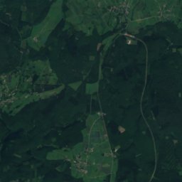
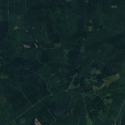
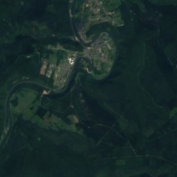
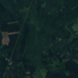
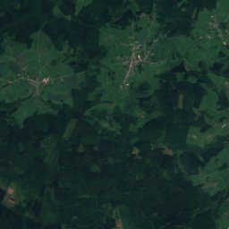
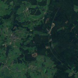
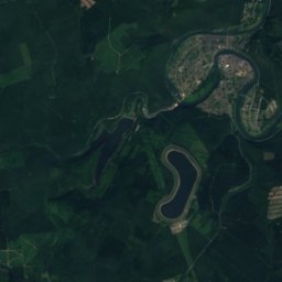
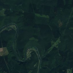
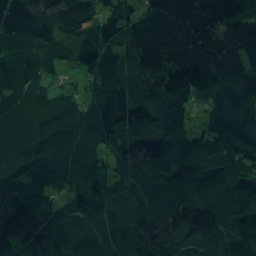
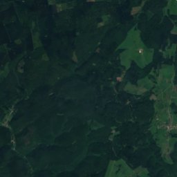
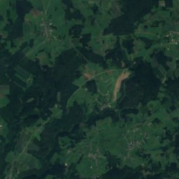
Satellite: Sentinel-2 cloudless 2016 by EOX IT Services GmbH · CC BY 4.0 · Contains modified Copernicus Sentinel data 2016
Bois des Haies
505 m · Ardennes massif

Heritage


Collégiale Saint-Ermel de Vireux-Molhain
classified historical monument
Satellite: Sentinel-2 cloudless 2016 by EOX IT Services GmbH · CC BY 4.0 · Contains modified Copernicus Sentinel data 2016
Trou de l’Abîme
Exceptional heritage property of Wallonia
Museums

Chemin de Fer à vapeur des Trois Valleés
Heritage railway · 1973



Satellite: Sentinel-2 cloudless 2016 by EOX IT Services GmbH · CC BY 4.0 · Contains modified Copernicus Sentinel data 2016