Satellite: Sentinel-2 cloudless 2016 by EOX IT Services GmbH · CC BY 4.0 · Contains modified Copernicus Sentinel data 2016

Photo: Leo Van Vreckem · CC BY-SA 4.0 · Wikimedia Commons
Botermolen in GooikReport this photo · linked, not stored
Botermolen in GooikBotermolen in GooikReport this photo · linked, not stored

Photo: Leo Van Vreckem · CC BY-SA 4.0 · Wikimedia Commons
WoestijnkapelReport this photo · linked, not stored
WoestijnkapelWoestijnkapelReport this photo · linked, not stored

Photo: Funkyxian · CC BY-SA 3.0 · Wikimedia Commons
Terhagenmolen, GooikReport this photo · linked, not stored
Terhagenmolen, GooikTerhagenmolen, GooikReport this photo · linked, not stored

Photo: Henxter · CC BY-SA 3.0 · Wikimedia Commons
Kapel van BevingenReport this photo · linked, not stored
Kapel van BevingenKapel van BevingenReport this photo · linked, not stored
EstaminetGooik, Flanders
Drie Egypten
beschermd monumentvastgesteld bouwkundig erfgoedBuilt 1642
TypeEstaminet
Built1642
Best monthsMay–Jun · Sepweather in Gooik
50.81° N, 4.08° EUTC+1 · Central European Standard Time
Standing for384 years
built 1642today 2026
When to goGooik · weather score
Best timeMay–Jun · Sep
October: high / low15° / 8°
iAbout
Drie Egypten in brief
Drie Egypten is an estaminet in Gooik, Flanders, Belgium.
It holds the designations beschermd monument and vastgesteld bouwkundig erfgoed.
The estaminet dates from 1642.
For a visit, the weather in Gooik is best in May, June and September; in October afternoons average 15°.
iiLocation
Where to find it
iiiWhen to visit
Climate guideWeather in Gooik
Month score for sightseeing
Best May–Jun · Sep16
Jan
20
Feb
31
Mar
57
Apr
67
May
67
Jun
65
Jul
65
Aug
68
Sep
48
Oct
17
Nov
15
Dec
ivNearby
All monuments in BelgiumMore heritage close by
Satellite: Sentinel-2 cloudless 2016 by EOX IT Services GmbH · CC BY 4.0 · Contains modified Copernicus Sentinel data 2016
Sint-Margarethakerk (Neigem)
1.3 km W
vastgesteld bouwkundig erfgoed

Around here
Gooik and around

Nature

Photo: Etien at Dutch Wikipedia (Original text: Geert Cromphout) · Public domain · Wikimedia CommonsReport this photo · linked, not stored
Zuunbeek - Zuenbeek
River · 23 m


Photo: Erfgoed Sint-Pieters-Leeuw · CC BY-SA 4.0 · Wikimedia CommonsReport this photo · linked, not stored
Onze-Lieve-Vrouwkapel
Cave
Mountains
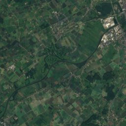
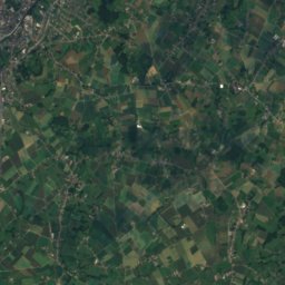
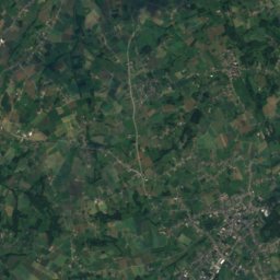
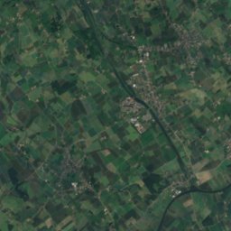
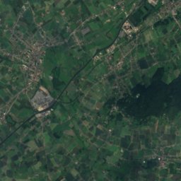
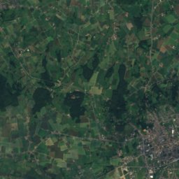
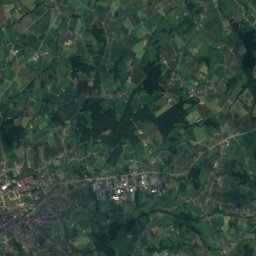
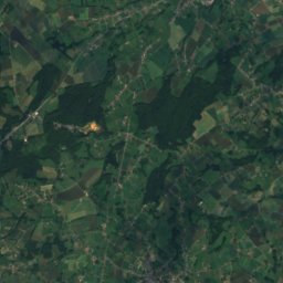
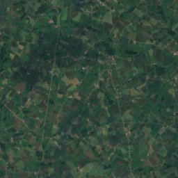
Satellite: Sentinel-2 cloudless 2016 by EOX IT Services GmbH · CC BY 4.0 · Contains modified Copernicus Sentinel data 2016
Hotond Berg
162 m

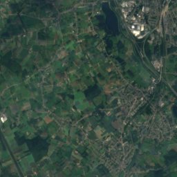
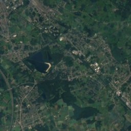
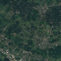
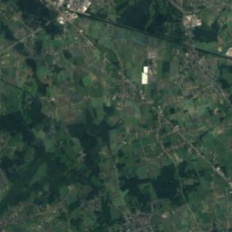
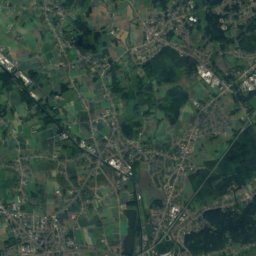
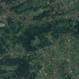
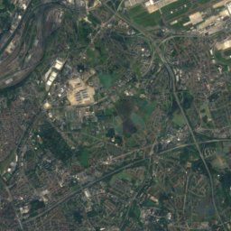
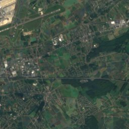
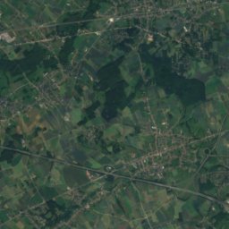
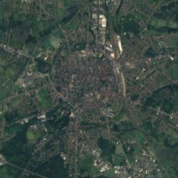
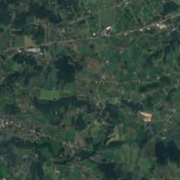
Satellite: Sentinel-2 cloudless 2016 by EOX IT Services GmbH · CC BY 4.0 · Contains modified Copernicus Sentinel data 2016
Gasthuisberg
78 m
Heritage


Museums
Satellite: Sentinel-2 cloudless 2016 by EOX IT Services GmbH · CC BY 4.0 · Contains modified Copernicus Sentinel data 2016
De Oude Cam
Satellite: Sentinel-2 cloudless 2016 by EOX IT Services GmbH · CC BY 4.0 · Contains modified Copernicus Sentinel data 2016
Volksinstrumentenmuseum
Musical instrument museum


Satellite: Sentinel-2 cloudless 2016 by EOX IT Services GmbH · CC BY 4.0 · Contains modified Copernicus Sentinel data 2016