Skip to content
Destinations
Weather & climate
Nature
Outdoors
Culture
Events
Sky & live
dactil
Photo: Spotter2 · CC BY-SA 3.0 · Wikimedia Commons
dactilReport this photo · linked, not stored
Huis Mulle de Terschueren
Photo: Sarah Vives · CC BY-SA 4.0 · Wikimedia Commons
Huis Mulle de TerschuerenReport this photo · linked, not stored
Huis Mulle de Terschueren
Lonckes molen
Photo: Santy, Pieter · CC BY 4.0 · Wikimedia Commons
Lonckes molenReport this photo · linked, not stored
Lonckes molen
Poelbergmolen
Photo: Sarah Vives · CC BY-SA 4.0 · Wikimedia Commons
PoelbergmolenReport this photo · linked, not stored
Poelbergmolen
Koortskapel, Dentergem
Photo: Wernervc · CC BY-SA 3.0 · Wikimedia Commons
Koortskapel, DentergemReport this photo · linked, not stored
Koortskapel, Dentergem
dairyTielt, Flanders

dactil

beschermd monument
Typedairy
Built–
Best monthsMay–Jun · Sepweather in Tielt
51.00° N, 3.34° EUTC+1 · Central European Standard Time
When to goTielt · weather score
JanFebMarAprMayJunJulAugSepOctNovDec48October
Best timeMay–Jun · Sep
October: high / low15° / 8°
iAbout

dactil in brief

dactil is a dairy in Tielt, Flanders, Belgium.

It holds the designation beschermd monument.

For a visit, the weather in Tielt is best in May, June and September; in October afternoons average 15°.

Tielt: weather and travel guide

Facts

Type
dairy
Designation
beschermd monument
Nearest town
Tielt
Region
Flanders
Coordinates
50.99818, 3.34257
iiLocation

Where to find it

iiiWhen to visit

Weather in Tielt

Climate guide

Month score for sightseeing

Best May–Jun · Sep
ivNearby

More heritage close by

All monuments in Belgium
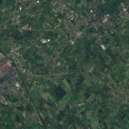
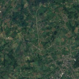
Satellite: Sentinel-2 cloudless 2016 by EOX IT Services GmbH · CC BY 4.0 · Contains modified Copernicus Sentinel data 2016

Belfry of Tielt

1.1 km W
part of UNESCO World Heritage Site
Belfry of Tielt
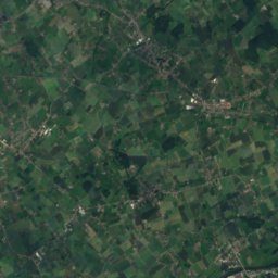
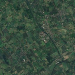
Satellite: Sentinel-2 cloudless 2016 by EOX IT Services GmbH · CC BY 4.0 · Contains modified Copernicus Sentinel data 2016

Tielt railway station

1.3 km SW
beschermd monument
Tielt railway station
Huis Mulle de Terschueren
Photo: Sarah Vives · CC BY-SA 4.0 · Wikimedia CommonsReport this photo · linked, not stored

Huis Mulle de Terschueren

1.4 km W
beschermd monument
Huis Mulle de Terschueren
Lonckes molen
Photo: Santy, Pieter · CC BY 4.0 · Wikimedia CommonsReport this photo · linked, not stored

Lonckes molen

2.0 km W
vastgesteld bouwkundig erfgoed
Lonckes molen
Poelbergmolen
Photo: Sarah Vives · CC BY-SA 4.0 · Wikimedia CommonsReport this photo · linked, not stored

Poelbergmolen

2.4 km SE
beschermd monument
Poelbergmolen
Koortskapel, Dentergem
Photo: Wernervc · CC BY-SA 3.0 · Wikimedia CommonsReport this photo · linked, not stored

Koortskapel, Dentergem

3.1 km SE
beschermd monument
Koortskapel, Dentergem
Around here

Tielt and around

Tielt
Photo: Michielverbeek · CC BY-SA 3.0 · Wikimedia CommonsReport this photo · linked, not stored

Tielt

Flanders · Belgium
May–Jun · Sepbest months
23°July high
46 maltitude
Tielt

Nature

Mandel
Photo: Trobken · CC BY-SA 3.0 · Wikimedia CommonsReport this photo · linked, not stored
10 km S

Mandel

River
Mandel
Ginstegrot
Photo: Jan Tieghem · CC BY-SA 4.0 · Wikimedia CommonsReport this photo · linked, not stored
6.3 km S

Ginstegrot

Cave
Ginstegrot
Lake of Love
Photo: Pere prlpz · CC BY-SA 3.0 · Wikimedia CommonsReport this photo · linked, not stored
23 km N

Lake of Love

Lake
Lake of Love

Mountains

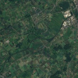
Satellite: Sentinel-2 cloudless 2016 by EOX IT Services GmbH · CC BY 4.0 · Contains modified Copernicus Sentinel data 2016
32 km SE

Hotond Berg

162 m
Hotond Berg
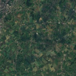
Satellite: Sentinel-2 cloudless 2016 by EOX IT Services GmbH · CC BY 4.0 · Contains modified Copernicus Sentinel data 2016
34 km SE

Kruiken Berg

32 m
Kruiken Berg
Blandijnberg
Photo: Donar Reiskoffer · CC BY 3.0 · Wikimedia CommonsReport this photo · linked, not stored
28 km E

Blandijnberg

29 m
Blandijnberg

Heritage

Lonckes molen
Photo: Santy, Pieter · CC BY 4.0 · Wikimedia CommonsReport this photo · linked, not stored
1.0 km W

Lonckes molen

vastgesteld bouwkundig erfgoed · 1848
Lonckes molen
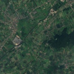
Satellite: Sentinel-2 cloudless 2016 by EOX IT Services GmbH · CC BY 4.0 · Contains modified Copernicus Sentinel data 2016
0.1 km N

Belfry of Tielt

part of UNESCO World Heritage Site · 1275
Belfry of Tielt
Huis Mulle de Terschueren
Photo: Sarah Vives · CC BY-SA 4.0 · Wikimedia CommonsReport this photo · linked, not stored
0.3 km W

Huis Mulle de Terschueren

beschermd monument
Huis Mulle de Terschueren

Museums

Museum van Deinze en de Leiestreek
Photo: (JoJan) · CC BY 3.0 · Wikimedia CommonsReport this photo · linked, not stored
14 km E

Museum van Deinze en de Leiestreek

Art museum
Museum van Deinze en de Leiestreek
Museum Stoom en Stroom
Photo: Roland Goossens · Public domain · Wikimedia CommonsReport this photo · linked, not stored
12 km SW

Museum Stoom en Stroom

Museum Stoom en Stroom
Satellite: Sentinel-2 cloudless 2016 by EOX IT Services GmbH · CC BY 4.0 · Contains modified Copernicus Sentinel data 2016
12 km E

Roger Raveel museum

Art museum
Roger Raveel museum