Skip to content
Destinations
Weather & climate
Nature
Outdoors
Culture
Events
Sky & live
Othmarkirche
Photo: C.Stadler/Bwag · CC BY-SA 4.0 · Wikimedia Commons
OthmarkircheReport this photo · linked, not stored
Aqueduct / Aquädukt Mödling
Photo: Christopher Gräf · CC BY-SA 3.0 at · Wikimedia Commons
Aqueduct / Aquädukt MödlingReport this photo · linked, not stored
Aqueduct / Aquädukt Mödling
Altes Rathaus Mödling
Photo: C.Stadler/Bwag · CC BY-SA 4.0 · Wikimedia Commons
Altes Rathaus MödlingReport this photo · linked, not stored
Altes Rathaus Mödling
Spitalkirche (Mödling)
Photo: C.Stadler/Bwag · CC BY-SA 4.0 · Wikimedia Commons
Spitalkirche (Mödling)Report this photo · linked, not stored
Spitalkirche (Mödling)
Stadttheater Mödling
Photo: Christoph Leeb · CC BY-SA 3.0 · Wikimedia Commons
Stadttheater MödlingReport this photo · linked, not stored
Stadttheater Mödling
parish churchMödling, Lower Austria

Othmarkirche

Listed objects in Austria
Typeparish churchGothic
Built–
Best monthsApr · Jun · Sepweather in Mödling
48.09° N, 16.28° EUTC+2 · Central European Summer Time
When to goMödling · weather score
JanFebMarAprMayJunJulAugSepOctNovDec61October
Best timeApr · Jun · Sep
October: high / low15° / 7°
iAbout

Othmarkirche in brief

Othmarkirche is a parish church in Mödling, Lower Austria, Austria.

It holds the designation Listed objects in Austria.

The parish church is built in the Gothic style.

For a visit, the weather in Mödling is best in April, June and September; in October afternoons average 15°.

Mödling: weather and travel guide

Facts

Type
parish church
Designation
Listed objects in Austria
Style
Gothic
Nearest town
Mödling
Region
Lower Austria
Coordinates
48.08523, 16.27997
iiLocation

Where to find it

iiiWhen to visit

Weather in Mödling

Climate guide

Month score for sightseeing

Best Apr · Jun · Sep
ivNearby

More heritage close by

All monuments in Austria
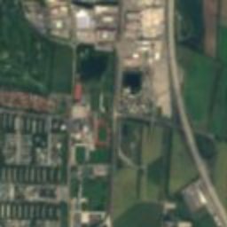
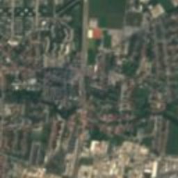
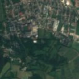
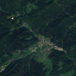
Satellite: Sentinel-2 cloudless 2016 by EOX IT Services GmbH · CC BY 4.0 · Contains modified Copernicus Sentinel data 2016

Karner St. Pantaleon, Mödling

under 100 m S
Listed objects in Austria
Karner St. Pantaleon, Mödling
Aqueduct / Aquädukt Mödling
Photo: Christopher Gräf · CC BY-SA 3.0 at · Wikimedia CommonsReport this photo · linked, not stored

Aqueduct / Aquädukt Mödling

0.2 km S
Listed objects in Austria
Aqueduct / Aquädukt Mödling
Altes Rathaus Mödling
Photo: C.Stadler/Bwag · CC BY-SA 4.0 · Wikimedia CommonsReport this photo · linked, not stored

Altes Rathaus Mödling

0.2 km E
Listed objects in Austria
Altes Rathaus Mödling
Spitalkirche (Mödling)
Photo: C.Stadler/Bwag · CC BY-SA 4.0 · Wikimedia CommonsReport this photo · linked, not stored

Spitalkirche (Mödling)

0.3 km SE
Listed objects in Austria
Spitalkirche (Mödling)
Stadttheater Mödling
Photo: Christoph Leeb · CC BY-SA 3.0 · Wikimedia CommonsReport this photo · linked, not stored

Stadttheater Mödling

0.3 km SE
Listed objects in Austria
Stadttheater Mödling
Pestsäule in Mödling
Photo: C.Stadler/Bwag · CC BY-SA 4.0 · Wikimedia CommonsReport this photo · linked, not stored

Pestsäule in Mödling

0.3 km E
Listed objects in Austria
Pestsäule in Mödling
Around here

Mödling and around

Mödling
Photo: C.Stadler/Bwag · CC BY-SA 4.0 · Wikimedia CommonsReport this photo · linked, not stored

Mödling

Lower Austria · Austria
Apr · Jun · Sepbest months
27°July high
222 maltitude
Mödling

Nature

Triesting
Photo: Herzi Pinki · CC BY-SA 3.0 · Wikimedia CommonsReport this photo · linked, not stored
8.2 km E

Triesting

River
Triesting
Mödlingbach
Photo: Motox · Public domain · Wikimedia CommonsReport this photo · linked, not stored
8.2 km E

Mödlingbach

River
Mödlingbach
Gütenbach
Photo: Eknuf · CC BY-SA 3.0 · Wikimedia CommonsReport this photo · linked, not stored
6.7 km NW

Gütenbach

River
Gütenbach

Mountains

Unterberg (Lower Austria)
Photo: WA-Wien · CC BY-SA 3.0 · Wikimedia CommonsReport this photo · linked, not stored
39 km SW

Unterberg (Lower Austria)

1,342 m · Gutenstein Alps
Unterberg (Lower Austria)
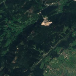
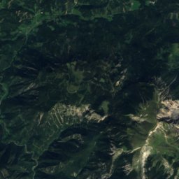
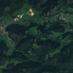
Satellite: Sentinel-2 cloudless 2016 by EOX IT Services GmbH · CC BY 4.0 · Contains modified Copernicus Sentinel data 2016
39 km SW

Dürre Wand

1,222 m · Gutenstein Alps
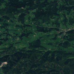
Dürre Wand
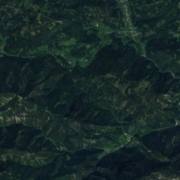
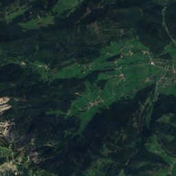
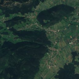
Satellite: Sentinel-2 cloudless 2016 by EOX IT Services GmbH · CC BY 4.0 · Contains modified Copernicus Sentinel data 2016
36 km SW

Trafelberg

1,146 m · Gutenstein Alps
Trafelberg

Heritage

Liechtenstein Castle
Photo: C.Stadler/Bwag · CC BY-SA 4.0 · Wikimedia CommonsReport this photo · linked, not stored
1.6 km NW

Liechtenstein Castle

Listed objects in Austria · 1136
Liechtenstein Castle
Husarentempel
Photo: C.Stadler/Bwag · CC BY-SA 4.0 · Wikimedia CommonsReport this photo · linked, not stored
3.0 km W

Husarentempel

Listed objects in Austria · 1813
Husarentempel
Spitalkirche (Mödling)
Photo: C.Stadler/Bwag · CC BY-SA 4.0 · Wikimedia CommonsReport this photo · linked, not stored
0.6 km SW

Spitalkirche (Mödling)

Listed objects in Austria · 1453
Spitalkirche (Mödling)

Museums

Seegrotte Hinterbrühl
Photo: Petr Vilgus · CC BY-SA 3.0 · Wikimedia CommonsReport this photo · linked, not stored
2.4 km W

Seegrotte Hinterbrühl

Show mine · 1848
Seegrotte Hinterbrühl
Thonetschlössl
Photo: Karl Gruber · CC BY-SA 3.0 · Wikimedia CommonsReport this photo · linked, not stored
0.1 km NW

Thonetschlössl

Thonetschlössl
Drachhof, Mödling
Photo: Karl Gruber · CC BY 3.0 · Wikimedia CommonsReport this photo · linked, not stored
under 100 m N

Drachhof, Mödling

Drachhof, Mödling