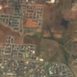
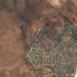
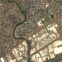
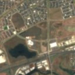
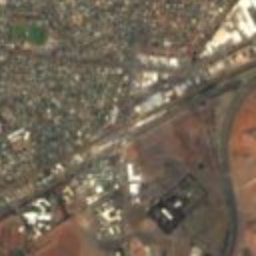
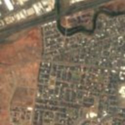


Satellite: Sentinel-2 cloudless 2016 by EOX IT Services GmbH · CC BY 4.0 · Contains modified Copernicus Sentinel data 2016

Photo: Rexness · CC BY-SA 2.0 · Wikimedia Commons
Werribee ParkReport this photo · linked, not stored
Werribee ParkWerribee ParkReport this photo · linked, not stored
station located on surfaceAintree, Victoria
Werribee
listed on the Victorian Heritage Register
Typestation located on surface
Built–
Best monthsJan–Marweather in Aintree
37.90° S, 144.66° EUTC+11 · Australian Eastern Daylight Time
When to goAintree · weather score
Best timeJan–Mar
October: high / low18° / 9°
iAbout
Werribee in brief
Werribee is a station located on surface in Aintree, Victoria, Australia.
It holds the designation listed on the Victorian Heritage Register.
For a visit, the weather in Aintree is best in January, February and March; in October afternoons average 18°.
iiLocation
Where to find it
iiiWhen to visit
Climate guideWeather in Aintree
Month score for sightseeing
Best Jan–Mar84
Jan
83
Feb
83
Mar
81
Apr
60
May
42
Jun
37
Jul
44
Aug
60
Sep
74
Oct
75
Nov
79
Dec
ivNearby
All monuments in AustraliaMore heritage close by
Around here
Aintree and around

Photo: Alex1991 at en.wikipedia · Public domain · Wikimedia CommonsReport this photo · linked, not stored
Aintree
Victoria · Australia
Jan–Marbest months
13°July high
103 maltitude
Nature

Photo: Nick carson at English Wikipedia · CC BY-SA 3.0 · Wikimedia CommonsReport this photo · linked, not stored
Organ Pipes National Park
National park · 136 m

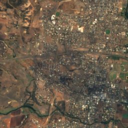
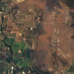
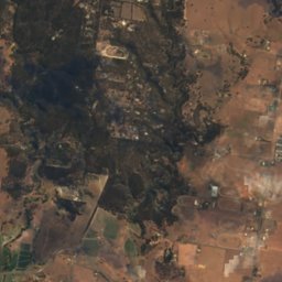
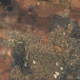
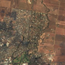
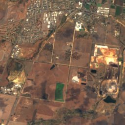
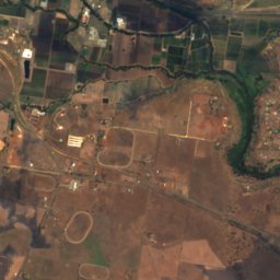
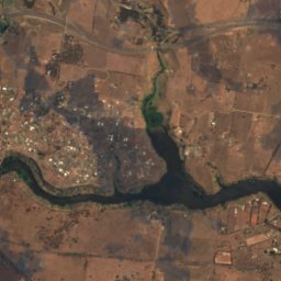
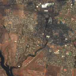
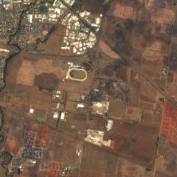
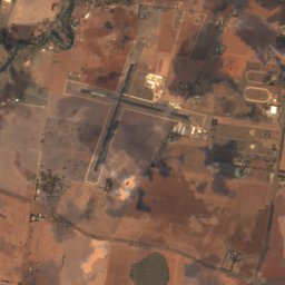
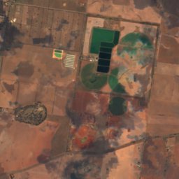
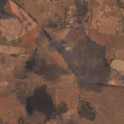
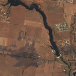
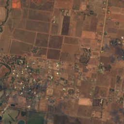
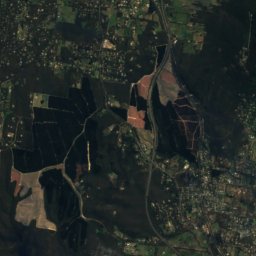
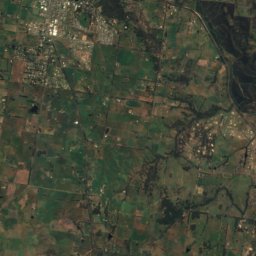
Satellite: Sentinel-2 cloudless 2016 by EOX IT Services GmbH · CC BY 4.0 · Contains modified Copernicus Sentinel data 2016
Melton Reservoir
Lake · 86 m
Mountains
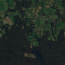
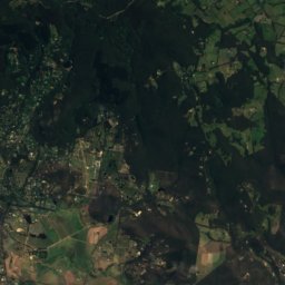
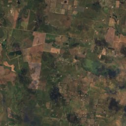
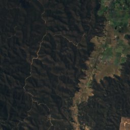
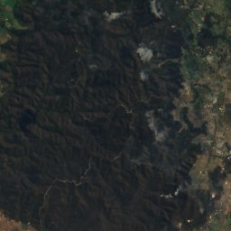
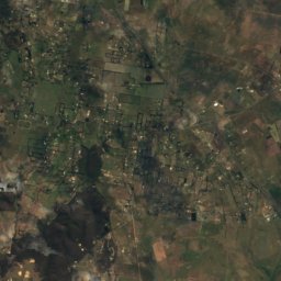
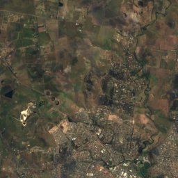
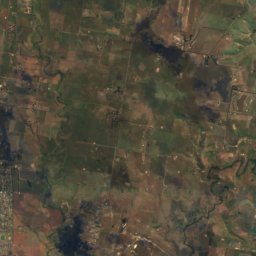
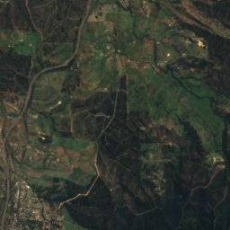
Satellite: Sentinel-2 cloudless 2016 by EOX IT Services GmbH · CC BY 4.0 · Contains modified Copernicus Sentinel data 2016
Red Rock
490 m
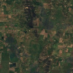
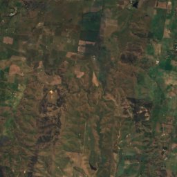
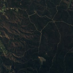
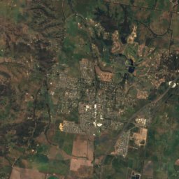
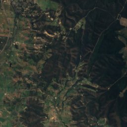
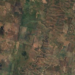
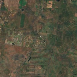
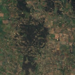
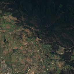
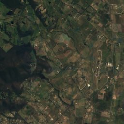
Satellite: Sentinel-2 cloudless 2016 by EOX IT Services GmbH · CC BY 4.0 · Contains modified Copernicus Sentinel data 2016
Mount Fraser
425 m

Heritage






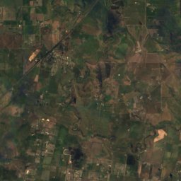
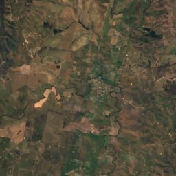
Satellite: Sentinel-2 cloudless 2016 by EOX IT Services GmbH · CC BY 4.0 · Contains modified Copernicus Sentinel data 2016
Rockbank
Victorian Heritage Inventory listing

Photo: Mattinbgn (talk · contribs) · CC BY 3.0 · Wikimedia CommonsReport this photo · linked, not stored

Overnewton
listed on the Victorian Heritage Register · 1849

Photo: Mattinbgn (talk · contribs) · CC BY 3.0 · Wikimedia CommonsReport this photo · linked, not stored

Keilor Hotel
listed on the Victorian Heritage Register · 1848