
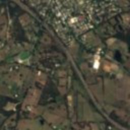
Satellite: Sentinel-2 cloudless 2016 by EOX IT Services GmbH · CC BY 4.0 · Contains modified Copernicus Sentinel data 2016
historic houseAldgate, South Australia
Wairoa
listed on the South Australian Heritage Register
Typehistoric house
Built–
Best monthsFeb–Mar · Decweather in Aldgate
35.01° S, 138.73° EUTC+10:30 · Australian Central Daylight Time
When to goAldgate · weather score
Best timeFeb–Mar · Dec
October: high / low18° / 9°
iAbout
Wairoa in brief
Wairoa is a historic house in Aldgate, South Australia, Australia.
It holds the designation listed on the South Australian Heritage Register.
For a visit, the weather in Aldgate is best in February, March and December; in October afternoons average 18°.
Facts
- Type
- historic house
- Designation
- listed on the South Australian Heritage Register
- Nearest town
- Aldgate
- Region
- South Australia
- Coordinates
- -35.01112, 138.72846
iiLocation
Where to find it
iiiWhen to visit
Climate guideWeather in Aldgate
Month score for sightseeing
Best Feb–Mar · Dec91
Jan
92
Feb
94
Mar
87
Apr
61
May
34
Jun
38
Jul
41
Aug
61
Sep
84
Oct
87
Nov
94
Dec
Around here
Aldgate and around

Nature


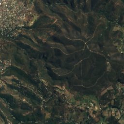
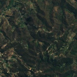
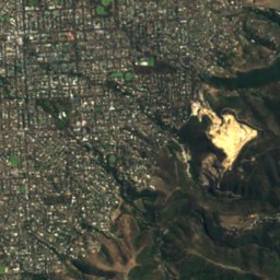
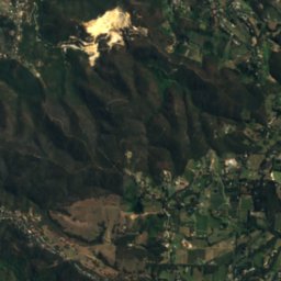
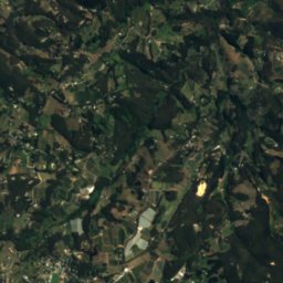
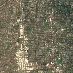
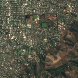
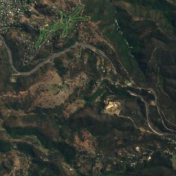
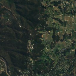
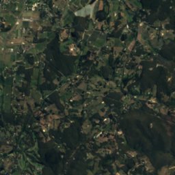
Satellite: Sentinel-2 cloudless 2016 by EOX IT Services GmbH · CC BY 4.0 · Contains modified Copernicus Sentinel data 2016
Cleland National Park
National park
Mountains
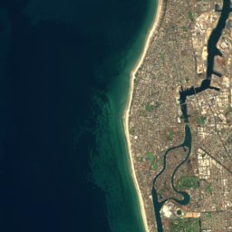
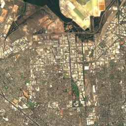
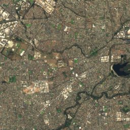
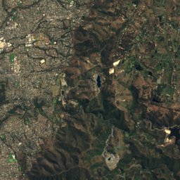
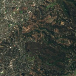
Satellite: Sentinel-2 cloudless 2016 by EOX IT Services GmbH · CC BY 4.0 · Contains modified Copernicus Sentinel data 2016
Mount Lofty
727 m · Mount Lofty Ranges
Satellite: Sentinel-2 cloudless 2016 by EOX IT Services GmbH · CC BY 4.0 · Contains modified Copernicus Sentinel data 2016
Mount Bonython
677 m
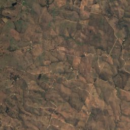
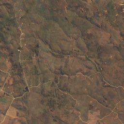
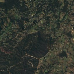
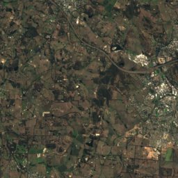
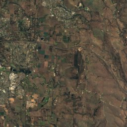
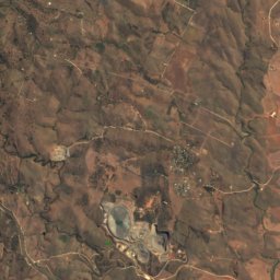
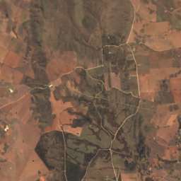
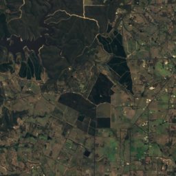
Satellite: Sentinel-2 cloudless 2016 by EOX IT Services GmbH · CC BY 4.0 · Contains modified Copernicus Sentinel data 2016
Mount Barker
517 m · Mount Lofty Ranges
Heritage




Satellite: Sentinel-2 cloudless 2016 by EOX IT Services GmbH · CC BY 4.0 · Contains modified Copernicus Sentinel data 2016
Old Government House, Stirling
listed on the South Australian Heritage Register · 1860

Museums



Satellite: Sentinel-2 cloudless 2016 by EOX IT Services GmbH · CC BY 4.0 · Contains modified Copernicus Sentinel data 2016
Bluethumb Art Gallery


Satellite: Sentinel-2 cloudless 2016 by EOX IT Services GmbH · CC BY 4.0 · Contains modified Copernicus Sentinel data 2016
SteamRanger Heritage Railway
Heritage railway