
Photo: Sardaka (talk) 10:08, 12 January 2012 (UTC) · CC BY 3.0 · Wikimedia Commons
NutcoteReport this photo · linked, not stored
NutcoteReport this photo · linked, not stored

Photo: Sardaka (talk) 06:46, 17 January 2012 (UTC) · CC BY 3.0 · Wikimedia Commons
HollowforthReport this photo · linked, not stored
HollowforthHollowforthReport this photo · linked, not stored

Photo: Sardaka (talk) 06:39, 17 January 2012 (UTC) · CC BY 3.0 · Wikimedia Commons
HastingsReport this photo · linked, not stored
HastingsHastingsReport this photo · linked, not stored

Photo: Anton Leddin · CC BY-SA 4.0 · Wikimedia Commons
Dalkeith PropertyReport this photo · linked, not stored
Dalkeith PropertyDalkeith PropertyReport this photo · linked, not stored

Photo: Abesty · CC BY-SA 3.0 · Wikimedia Commons
Milsons Point railway stationReport this photo · linked, not stored
Milsons Point railway stationMilsons Point railway stationReport this photo · linked, not stored
buildingThe Rocks, New South Wales
Nutcote
Heritage Act — State Heritage RegisterBuilt 1924
Typebuilding
Built1924
Best monthsMay · Sep–Octweather in The Rocks
33.84° S, 151.22° EUTC+11 · Australian Eastern Daylight Time
Standing for102 years
built 1924today 2026
When to goThe Rocks · weather score
Best timeMay · Sep–Oct
October: high / low20° / 15°
iAbout
Nutcote in brief
Nutcote is a building in The Rocks, New South Wales, Australia.
It holds the designation Heritage Act — State Heritage Register.
The building dates from 1924.
For a visit, the weather in The Rocks is best in May, September and October; in October afternoons average 20°.
Facts
- Type
- building
- Designation
- Heritage Act — State Heritage Register
- Built
- 1924
- Nearest town
- The Rocks
- Region
- New South Wales
- Coordinates
- -33.84210, 151.22100
iiLocation
Where to find it
iiiWhen to visit
Climate guideWeather in The Rocks
Month score for sightseeing
Best May · Sep–Oct69
Jan
67
Feb
68
Mar
76
Apr
82
May
67
Jun
71
Jul
78
Aug
85
Sep
79
Oct
71
Nov
71
Dec
ivNearby
All monuments in AustraliaMore heritage close by
Photo: Sardaka (talk) 06:46, 17 January 2012 (UTC) · CC BY 3.0 · Wikimedia CommonsReport this photo · linked, not stored
Hollowforth
0.2 km NE
Heritage Act — State Heritage Register
Photo: Sardaka (talk) 06:39, 17 January 2012 (UTC) · CC BY 3.0 · Wikimedia CommonsReport this photo · linked, not stored
Hastings
0.2 km W
Heritage Act — State Heritage Register
Milsons Point railway station
1.0 km SW
Heritage Act - s.170 NSW State agency heritage register

Photo: Sardaka (talk) 08:55, 17 January 2012 (UTC) · CC BY 3.0 · Wikimedia CommonsReport this photo · linked, not stored
St John's Uniting Church, Neutral Bay
1.1 km N
Heritage Act — State Heritage Register

Around here
The Rocks and around

Nature


Heritage
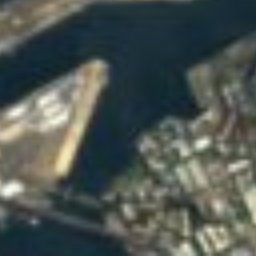
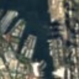
Satellite: Sentinel-2 cloudless 2016 by EOX IT Services GmbH · CC BY 4.0 · Contains modified Copernicus Sentinel data 2016
Sydney Opera House
listed on the Australian National Heritage List · 1973


Museums

Photo: Siegfried Nugent at English Wikipedia · CC BY-SA 3.0 · Wikimedia CommonsReport this photo · linked, not stored
Art Gallery of New South Wales
Art museum · 1880

Photo: J Bar at the English-language Wikipedia · CC BY-SA 3.0 · Wikimedia CommonsReport this photo · linked, not stored
Australian Museum
1845


