Skip to content
Destinations
Weather & climate
Nature
Outdoors
Culture
Events
Sky & live
Mount Direction
Photo: Gary Houston · CC0 · Wikimedia Commons
Mount DirectionReport this photo · linked, not stored
mountainHobart, Tasmania

Mount Direction

listed on the Tasmanian Heritage Register
Typemountain
Built–
Best monthsJan–Marweather in Hobart
42.80° S, 147.31° EUTC+11 · Australian Eastern Daylight Time
When to goHobart · weather score
JanFebMarAprMayJunJulAugSepOctNovDec56October
Best timeJan–Mar
October: high / low16° / 8°
iAbout

Mount Direction in brief

Mount Direction is a mountain in Hobart, Tasmania, Australia.

It holds the designation listed on the Tasmanian Heritage Register.

For a visit, the weather in Hobart is best in January, February and March; in October afternoons average 16°.

Hobart: weather and travel guide

Facts

Type
mountain
Designation
listed on the Tasmanian Heritage Register
Nearest town
Hobart
Region
Tasmania
Coordinates
-42.79801, 147.30770
iiLocation

Where to find it

iiiWhen to visit

Weather in Hobart

Climate guide

Month score for sightseeing

Best Jan–Mar
ivNearby

More heritage close by

All monuments in Australia
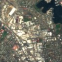
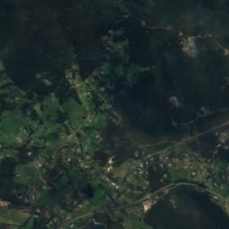
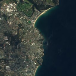
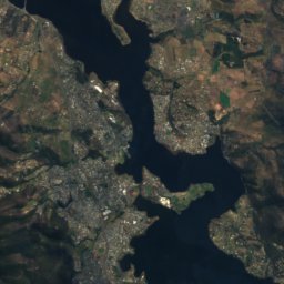
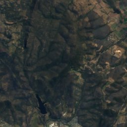
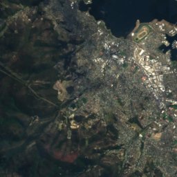
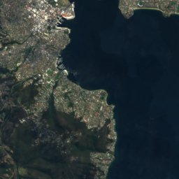
Satellite: Sentinel-2 cloudless 2016 by EOX IT Services GmbH · CC BY 4.0 · Contains modified Copernicus Sentinel data 2016

Elwick Racecourse

3.3 km SW
listed on the Tasmanian Heritage Register
Elwick Racecourse
Around here

Hobart and around

Hobart
Photo: Michael fromholtz · CC BY-SA 4.0 · Wikimedia CommonsReport this photo · linked, not stored

Hobart

Tasmania · Australia
Jan–Marbest months
11°July high
19 maltitude
Hobart

Nature

Hobart Rivulet
Photo: JJ Harrison (https://www.jjharrison.com.au/) · CC BY-SA 3.0 · Wikimedia CommonsReport this photo · linked, not stored
0.6 km SE

Hobart Rivulet

River
Hobart Rivulet
New Town Rivulet
Photo: Edoddridge · CC BY-SA 3.0 · Wikimedia CommonsReport this photo · linked, not stored
3.8 km N

New Town Rivulet

River
New Town Rivulet
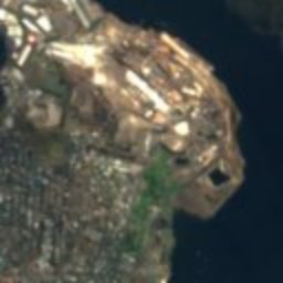
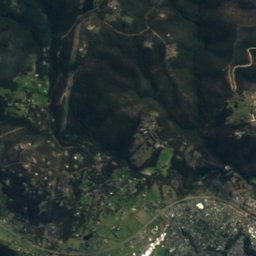
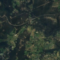
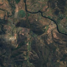
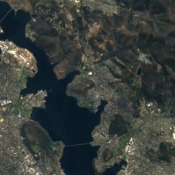
Satellite: Sentinel-2 cloudless 2016 by EOX IT Services GmbH · CC BY 4.0 · Contains modified Copernicus Sentinel data 2016
12 km S

Browns River

River
Browns River

Mountains

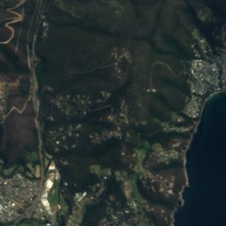
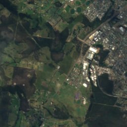
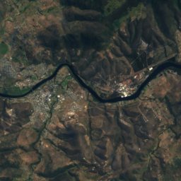
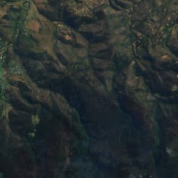
Satellite: Sentinel-2 cloudless 2016 by EOX IT Services GmbH · CC BY 4.0 · Contains modified Copernicus Sentinel data 2016
8.2 km W

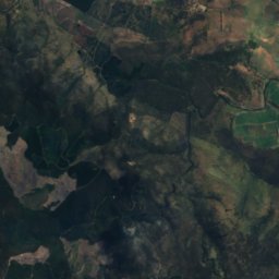
Kunanyi / Mount Wellington

1,271 m · Wellington Range
Kunanyi / Mount Wellington
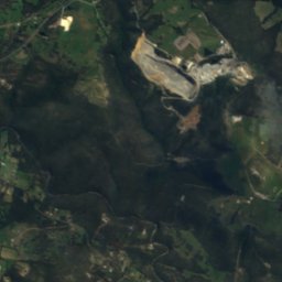
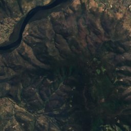
Satellite: Sentinel-2 cloudless 2016 by EOX IT Services GmbH · CC BY 4.0 · Contains modified Copernicus Sentinel data 2016
23 km W

Quarry Hill

204 m
Quarry Hill

Heritage

Theatre Royal, Hobart
Photo: Canley · CC BY-SA 4.0 · Wikimedia CommonsReport this photo · linked, not stored
0.1 km E

Theatre Royal, Hobart

listed on the Tasmanian Heritage Register · 1837
Theatre Royal, Hobart
Hobart Town Hall
Photo: Barrylb · Public domain · Wikimedia CommonsReport this photo · linked, not stored
0.4 km S

Hobart Town Hall

listed on the Tasmanian Heritage Register · 1866
Hobart Town Hall
Cascades Female Factory
Photo: Barrylb · CC0 · Wikimedia CommonsReport this photo · linked, not stored
2.9 km SW

Cascades Female Factory

listed on the Australian National Heritage List · 1828
Cascades Female Factory

Museums

Tasmanian Museum and Art Gallery
Photo: JTdale · CC BY-SA 3.0 · Wikimedia CommonsReport this photo · linked, not stored
0.3 km SE

Tasmanian Museum and Art Gallery

Art museum · 1843
Tasmanian Museum and Art Gallery
Maritime Museum of Tasmania
Photo: edwardhblake · CC BY 2.0 · Wikimedia CommonsReport this photo · linked, not stored
0.4 km SE

Maritime Museum of Tasmania

Maritime museum · 1974
Maritime Museum of Tasmania
Military Museum of Tasmania
Photo: Nick-D · CC BY-SA 3.0 · Wikimedia CommonsReport this photo · linked, not stored
1.1 km S

Military Museum of Tasmania

Military museum · 1814
Military Museum of Tasmania