Skip to content
Destinations
Weather & climate
Nature
Outdoors
Culture
Events
Sky & live
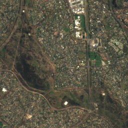
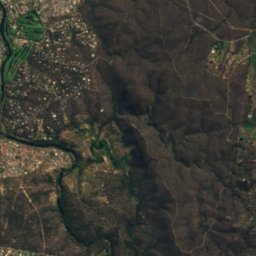
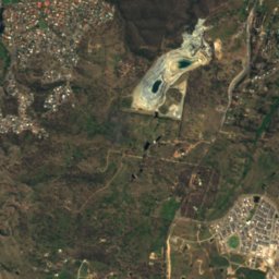
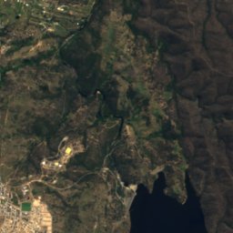
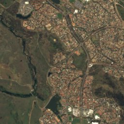
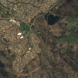
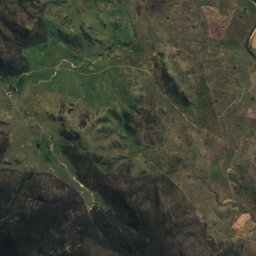
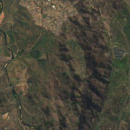
Satellite: Sentinel-2 cloudless 2016 by EOX IT Services GmbH · CC BY 4.0 · Contains modified Copernicus Sentinel data 2016
Queanbeyan Showground
Photo: Shkuru Afshar · CC BY-SA 4.0 · Wikimedia Commons
Queanbeyan ShowgroundReport this photo · linked, not stored
Queanbeyan Showground
Hibernia Lodge
Photo: Grahamec · CC BY-SA 4.0 · Wikimedia Commons
Hibernia LodgeReport this photo · linked, not stored
Hibernia Lodge
Byrnes Mill and Millhouse
Photo: Shkuru Afshar · CC BY-SA 4.0 · Wikimedia Commons
Byrnes Mill and MillhouseReport this photo · linked, not stored
Byrnes Mill and Millhouse
Rusten House
Photo: Shkuru Afshar · CC BY-SA 4.0 · Wikimedia Commons
Rusten HouseReport this photo · linked, not stored
Rusten House
historic siteQueanbeyan, New South Wales

Kawaree

Heritage Act — State Heritage Register
Typehistoric site
Built–
Best monthsApr · Oct · Decweather in Queanbeyan
35.36° S, 149.23° EUTC+11 · Australian Eastern Daylight Time
When to goQueanbeyan · weather score
JanFebMarAprMayJunJulAugSepOctNovDec74October
Best timeApr · Oct · Dec
October: high / low19° / 7°
iAbout

Kawaree in brief

Kawaree is a historic site in Queanbeyan, New South Wales, Australia.

It holds the designation Heritage Act — State Heritage Register.

For a visit, the weather in Queanbeyan is best in April, October and December; in October afternoons average 19°.

Queanbeyan: weather and travel guide

Facts

Type
historic site
Designation
Heritage Act — State Heritage Register
Nearest town
Queanbeyan
Region
New South Wales
Coordinates
-35.35600, 149.22600
iiLocation

Where to find it

iiiWhen to visit

Weather in Queanbeyan

Climate guide

Month score for sightseeing

Best Apr · Oct · Dec
ivNearby

More heritage close by

All monuments in Australia
Queanbeyan Showground
Photo: Shkuru Afshar · CC BY-SA 4.0 · Wikimedia CommonsReport this photo · linked, not stored

Queanbeyan Showground

0.4 km E
Heritage Act — State Heritage Register
Queanbeyan Showground
Hibernia Lodge
Photo: Grahamec · CC BY-SA 4.0 · Wikimedia CommonsReport this photo · linked, not stored

Hibernia Lodge

1.0 km NE
Heritage Act — State Heritage Register
Hibernia Lodge
Byrnes Mill and Millhouse
Photo: Shkuru Afshar · CC BY-SA 4.0 · Wikimedia CommonsReport this photo · linked, not stored

Byrnes Mill and Millhouse

1.0 km NE
Heritage Act — State Heritage Register
Byrnes Mill and Millhouse
Rusten House
Photo: Shkuru Afshar · CC BY-SA 4.0 · Wikimedia CommonsReport this photo · linked, not stored

Rusten House

1.0 km NE
Heritage Act — State Heritage Register
Rusten House
Christ Church, Queanbeyan
Photo: Grahamec · CC BY-SA 4.0 · Wikimedia CommonsReport this photo · linked, not stored

Christ Church, Queanbeyan

1.1 km E
Heritage Act — State Heritage Register
Christ Church, Queanbeyan
Queanbeyan railway station
Photo: Bidgee · CC BY-SA 3.0 au · Wikimedia CommonsReport this photo · linked, not stored

Queanbeyan railway station

1.1 km NE
Heritage Act — State Heritage Register
Queanbeyan railway station
Around here

Queanbeyan and around

Queanbeyan
Photo: Shkuru Afshar · CC BY-SA 4.0 · Wikimedia CommonsReport this photo · linked, not stored

Queanbeyan

New South Wales · Australia
Apr · Oct · Decbest months
10°July high
581 maltitude
Queanbeyan

Nature

Queanbeyan River
Photo: Unknown author · CC BY-SA 3.0 · Wikimedia CommonsReport this photo · linked, not stored
2.4 km N

Queanbeyan River

River
Queanbeyan River
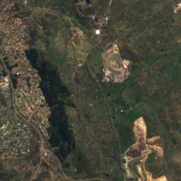
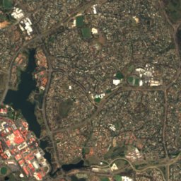
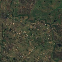
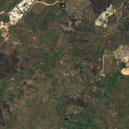
Satellite: Sentinel-2 cloudless 2016 by EOX IT Services GmbH · CC BY 4.0 · Contains modified Copernicus Sentinel data 2016
8.4 km SW

Jerrabomberra Creek

River
Jerrabomberra Creek
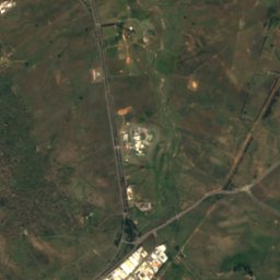
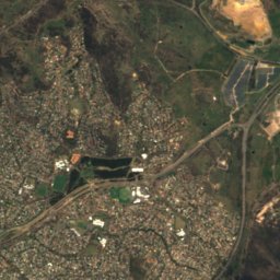
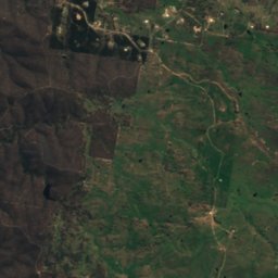
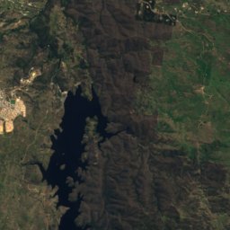
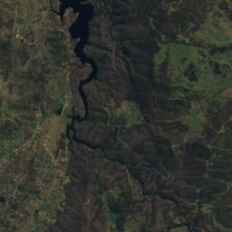
Satellite: Sentinel-2 cloudless 2016 by EOX IT Services GmbH · CC BY 4.0 · Contains modified Copernicus Sentinel data 2016
10 km S

Googong Reservoir

Lake · 661 m
Googong Reservoir

Mountains

Mount Coree
Photo: Daniel Ainsworth · CC BY 3.0 · Wikimedia CommonsReport this photo · linked, not stored
39 km W

Mount Coree

1,421 m · Brindabella Ranges
Mount Coree
Mount Tennent
Photo: Bidgee · CC BY-SA 3.0 au · Wikimedia CommonsReport this photo · linked, not stored
27 km SW

Mount Tennent

1,384 m
Mount Tennent
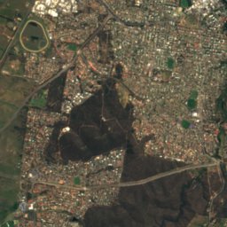
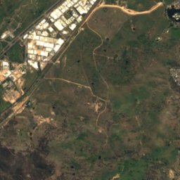
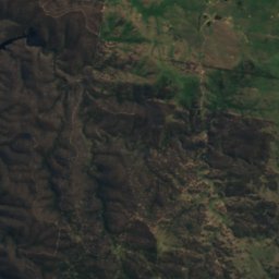
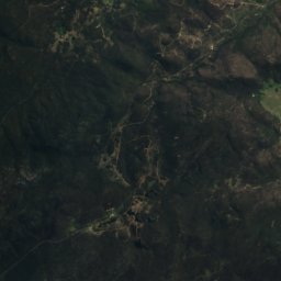
Satellite: Sentinel-2 cloudless 2016 by EOX IT Services GmbH · CC BY 4.0 · Contains modified Copernicus Sentinel data 2016
24 km S

Gibraltar Hill (Williamsdale, New South Wales)

1,129 m
Gibraltar Hill (Williamsdale, New South Wales)

Heritage

Queanbeyan railway station
Photo: Bidgee · CC BY-SA 3.0 au · Wikimedia CommonsReport this photo · linked, not stored
0.8 km N

Queanbeyan railway station

Heritage Act — State Heritage Register
Queanbeyan railway station
Queanbeyan Showground
Photo: Shkuru Afshar · CC BY-SA 4.0 · Wikimedia CommonsReport this photo · linked, not stored
0.2 km SW

Queanbeyan Showground

Heritage Act — State Heritage Register
Queanbeyan Showground
Christ Church, Queanbeyan
Photo: Grahamec · CC BY-SA 4.0 · Wikimedia CommonsReport this photo · linked, not stored
0.5 km E

Christ Church, Queanbeyan

Heritage Act — State Heritage Register
Christ Church, Queanbeyan

Museums

Questacon
Photo: Shkuru Afshar · CC BY-SA 4.0 · Wikimedia CommonsReport this photo · linked, not stored
11 km NW

Questacon

Science museum · 1985
Questacon
Canberra Glassworks
Photo: Nick-D · CC BY-SA 4.0 · Wikimedia CommonsReport this photo · linked, not stored
9.3 km NW

Canberra Glassworks

Art museum · 2007
Canberra Glassworks
Blundells Cottage
Photo: Shkuru Afshar · CC BY-SA 4.0 · Wikimedia CommonsReport this photo · linked, not stored
11 km NW

Blundells Cottage

1858
Blundells Cottage