
localityJoadja Creek, New South Wales
Joadja
listed on the Register of the National EstateLocal Environmental Plan
Typelocality
Built–
Best monthsApr · Sep–Octweather in Joadja Creek
34.43° S, 150.23° EUTC+11 · Australian Eastern Daylight Time
When to goJoadja Creek · weather score
Best timeApr · Sep–Oct
October: high / low19° / 9°
iAbout
Joadja in brief
Joadja is a locality in Joadja Creek, New South Wales, Australia.
It holds the designations listed on the Register of the National Estate, Local Environmental Plan, National Trust of Australia register, Heritage Act — State Heritage Register and Regional Environmental Plan.
For a visit, the weather in Joadja Creek is best in April, September and October; in October afternoons average 19°.
Facts
- Type
- locality
- Designation
- listed on the Register of the National Estate
- Local Environmental Plan
- National Trust of Australia register
- Heritage Act — State Heritage Register
- Regional Environmental Plan
- Nearest town
- Joadja Creek
- Region
- New South Wales
- Coordinates
- -34.42972, 150.23167
iiLocation
Where to find it
iiiWhen to visit
Climate guideWeather in Joadja Creek
Month score for sightseeing
Best Apr · Sep–Oct60
Jan
62
Feb
64
Mar
76
Apr
60
May
49
Jun
45
Jul
54
Aug
75
Sep
72
Oct
67
Nov
64
Dec
Around here
Joadja Creek and around

Joadja Creek
New South Wales · Australia
Apr · Sep–Octbest months
11°July high
675 maltitude
Nature
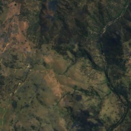
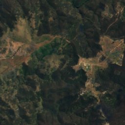
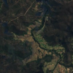
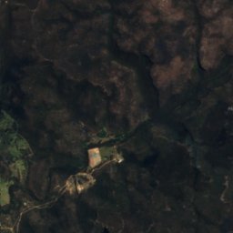
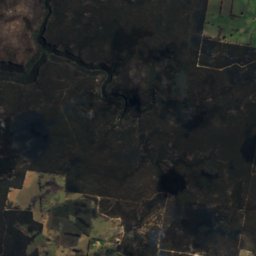
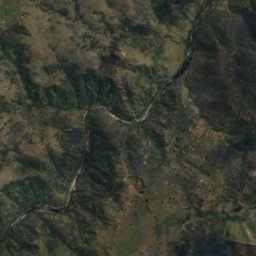
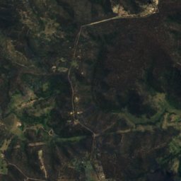
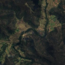
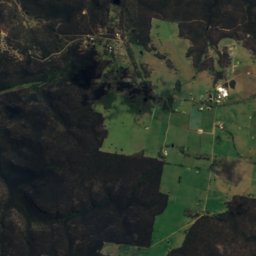
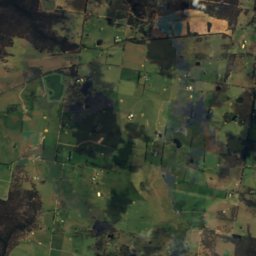
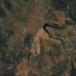
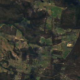
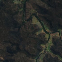
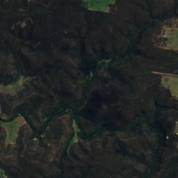
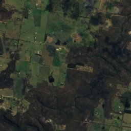
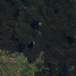
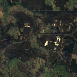
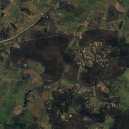
Satellite: Sentinel-2 cloudless 2016 by EOX IT Services GmbH · CC BY 4.0 · Contains modified Copernicus Sentinel data 2016
Bangadilly National Park
National park

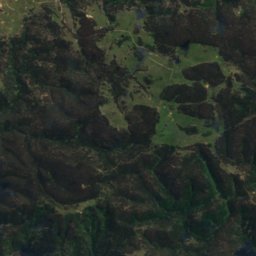
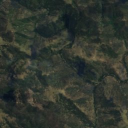
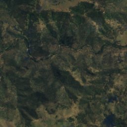
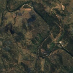
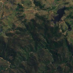
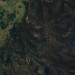
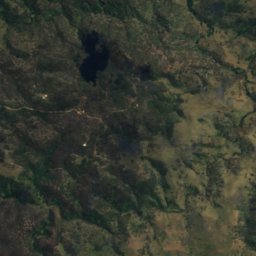
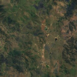
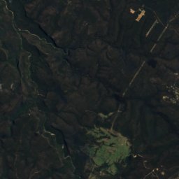
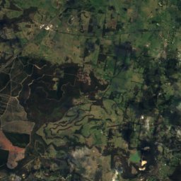
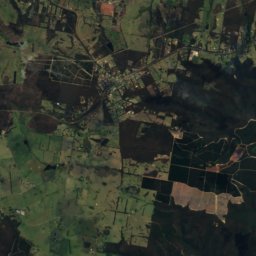
Satellite: Sentinel-2 cloudless 2016 by EOX IT Services GmbH · CC BY 4.0 · Contains modified Copernicus Sentinel data 2016
Guula Ngurra National Park
National park
Mountains
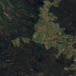
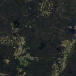
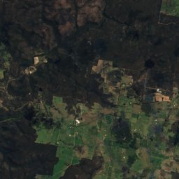
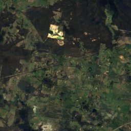
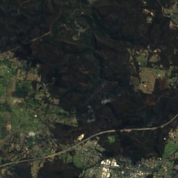
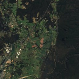
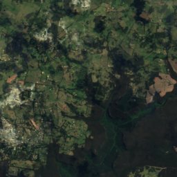
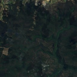
Satellite: Sentinel-2 cloudless 2016 by EOX IT Services GmbH · CC BY 4.0 · Contains modified Copernicus Sentinel data 2016
Mount Gibraltar
863 m
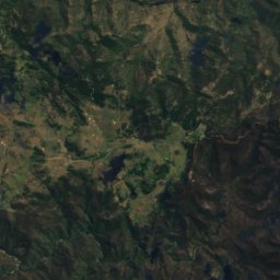
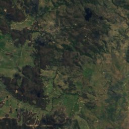
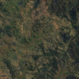
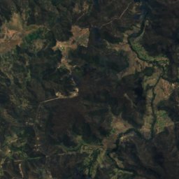
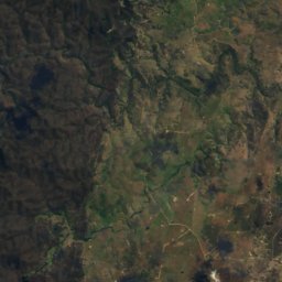
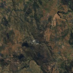
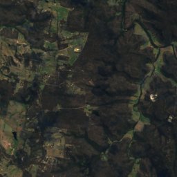
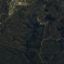
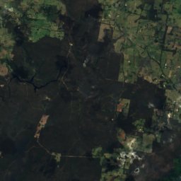
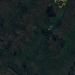
Satellite: Sentinel-2 cloudless 2016 by EOX IT Services GmbH · CC BY 4.0 · Contains modified Copernicus Sentinel data 2016
Sams Mountain
510 m
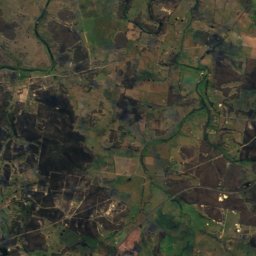
Satellite: Sentinel-2 cloudless 2016 by EOX IT Services GmbH · CC BY 4.0 · Contains modified Copernicus Sentinel data 2016
Rowland Hill
381 m
Heritage


Holy Trinity Anglican Church, Berrima
Heritage Act — State Heritage Register · 1849


St Francis Xavier's Roman Catholic Church, Berrima
Heritage Act — State Heritage Register